Act 2
The Primeval Swamp
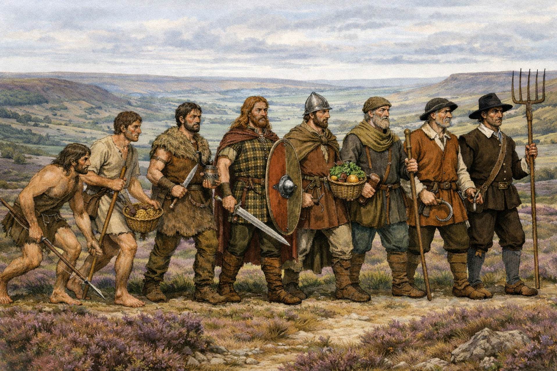
The Mesolithic,
Neolithic, Bronze Age and Iron Age evidence of the deeper history of the North
York Moors, Ryedale and the vicinity
Those
individuals who came to be the
first inhabitants of Farndale who we met in Act 1 of the Farndale
Story had been plucked from the primeval sludge of the hunters and earliest
settlers of the Mesolithic and Neolithic, from Bronze Age Beaker Folk, Iron Age
Settlers, and Brigantes people who had roamed the moors, dales and vales of
northern Yorkshire since about 9,000 years BCE, most likely settling by Roman
times in the cultivated lands around Kirkdale, a place of
even greater antiquity, which has left us the remains of interglacial age
hippopotami.
By 1066 the
Farndale lands were part of a large
estate of which its southern lands at the northwest edge of the Vale of
Pickering, were settled for a millennium and more. Whilst it is probable that
before settling in the dale itself, the Farndale ancestors were inhabitants of
the stable estate lands around Kirkdale perhaps back to Roman times, we can’t
be sure of our deeper ancestry. However there is a rich pre
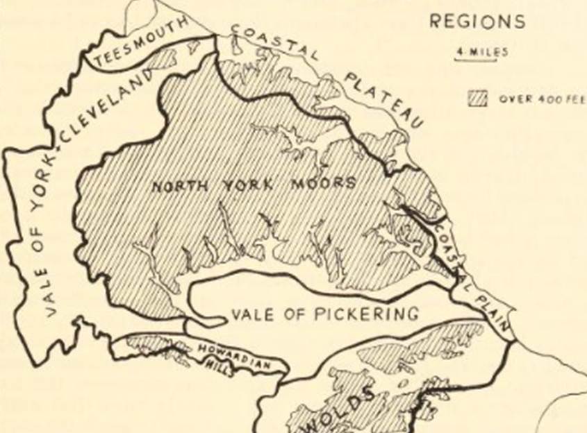
history of human settlement on and around the North York Moors and
Farndale, including around the rim above Farndale itself, and this Act of our
story focuses on the evidence of human activity in the immediate vicinity to
the family homeland. Whilst we cannot follow the paths of individual families,
it must have been from this gene pool that the later family emerged.
For
thousands of years, prehistoric folk hunted, farmed and lived in communities
across northern Yorkshire. They discovered how to exploit stone, then bronze
and later iron. The first metal objects were made from copper, but by adding
tin, they became much stronger.
Scene 1 – Early Human Settlement
Tropical
Yorkshire
Nearby to
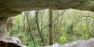
the church at Kirkdale is the Kirkdale Cave discovered by workmen in 1821 and
found to contain the fossilised bones of a variety of mammals no longer
indigenous to Britain, including hippopotami, the farthest north any such
remains have been found, elephant and hyaena[1].
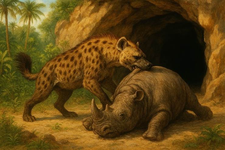
The cave is
only 500 metres southeast of St Gregory’s Minster[2]. The Reverend William Buckland came
to understand that this was a cave into which hyaena had dragged their prey
during an interglacial period, a time when the earth was warmer than it is
today, and which started 130,000 ago[3]. This was before the age of humans
in these parts, but a place of very deep antiquity, and the very place where
our ancestors would later live, in a different era of geological time.
|
|
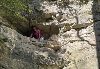
A
portal to the geological past from the heart of the family story |
|
Peering through chambers to
our ghostly beginnings |
Human
settlement
A vast epoch
of time then passed before the first human settlers following the last great
Ice Age entered Britain across Doggerland, the land
bridge across what is now the North Sea, probably following animals such as
reindeer.
Humans had visited our shores long before these early
settlers[4]. Human footprints have been discovered at Happisburgh in Norfolk which date to 900,000 YBP (“Years
Before Present”) when early humans visited Britain during a period of warming
when Britain wasn’t an island[5]. The oldest human remains are those of a six foot
specimen of Homo heidelbergensis found at Boxgrove
in East Sussex which date to about 500,000 YBP[6]. The skull of a woman, 400,000 years old was discovered at Swanscombe,
Kent[7]. She was probably a
member of the Neanderthal line of human evolution. Large, crude flint handaxes
were associated with the site. In late 2025 archaeologists identified the
earliest known instance of human created fire, near the village of Barnham in
eastern England, dating to 400,000 YBP[8]. Having something
that could give you instant fire when you need it, where you need it, was
crucial for people moving into places like Britain 400,000 years ago. It made
them more adaptable, enlarged the range of environments they could survive in,
and helped catalyse the evolution of social complexity, brain growth and
probably even language itself[9]. This was a Neanderthal
site where burnt soil was found along with fire-cracked flint handaxes and two
fragments of iron pyrite, used to strike sparks with flint. The early humans in
Britain all seem to have been part of this slow evolution of the Neanderthal
line, well before Homo Sapiens migrated from Africa. No human remains have been found in Britain between
about 180,000 to 60,000 YBP.
By about 54,000 YBP, the first homo sapiens
arrived in France[10].
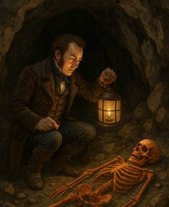
In 1823, William
Buckland, who had interpreted the Kirkdale Cave near Farndale in 1821, abseiled
down a cliff on the Gower Peninsula in Wales to investigate a cave where it was
thought that more ancient elephant bones lay[11]. He mapped the cave, including a human skeleton,
which he concluded was not a prehistoric find, but the skeleton of a Roman
prostitute who came to be known as the Red Lady of Paviland.
In 2008, radiocarbon-dating techniques conclusively showed these bones belonged
to a male, aged 25 to 30 years old, who stood about 173 cm in height, who had
been buried around 33,000 years ago, when Britain was part of a larger
peninsula attached to continental Europe[12]. The elephant bones were mammoth bones, perhaps
dispatched by a hunting party on the tundra during which the Red Lady
lost his life. It’s possible that the remains in the cave are those of an early
ritual burial of a hunter who lost his life during his pursuit of prey.
The last Ice Age then
froze the British Isles and made the lands uninhabitable for about 10,000 years
from circa 22,000 YBP. It reached its peak about 18,000 YBP. Any nomadic
hunters remaining in Britain died out as the glaciers advanced across Britain. Only
a few small pockets of humans survived in southern Europe.
While the Ice Age still
made Britain a harsh place to live, a few bands of hardy hunters did return to
Britain in about 13,000 YBP. The Robin Hood Cave Horse, previously known as the
Ochre Horse, is a fragment of a horse rib engraved with a horse's head,
discovered in 1876, in the Robin Hood Cave in Creswell Crags, Derbyshire[13].
It is the only piece of Upper Palaeolithic portable art showing an animal to
have been found in Britain. It is now in the British Museum[14].
The image was carefully prepared and depicted as alive and dynamic. These were
Ice Age hunters during a brief lull in the arctic conditions.
The Big Freeze followed
and life was extinguished again.
There is no evidence of human settlement in the area
of northern Yorkshire before about 10,000 YBP.
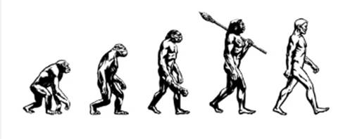
|
Understanding
the landscape |
|
The context of the Palaeolithic Period or the Old Stone Age
A global context to the prehistory of Yorkshire Before about 10,000 BCE |
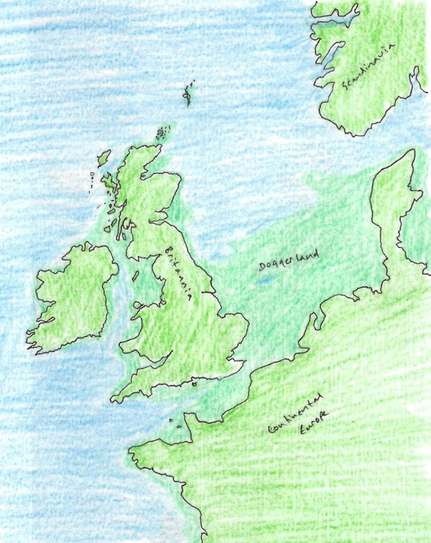
Then a
warmer period returned again and the ice melted to flood the Vale of Pickering.
Around 11,600 YBP the temperature began to rise very rapidly and the ice that
had covered most of Britain began to retreat to the Arctic. As the ice melted
the shape of the British Isles took shape, apart from the land bridge to the
southeast, known as Doggerland[15].
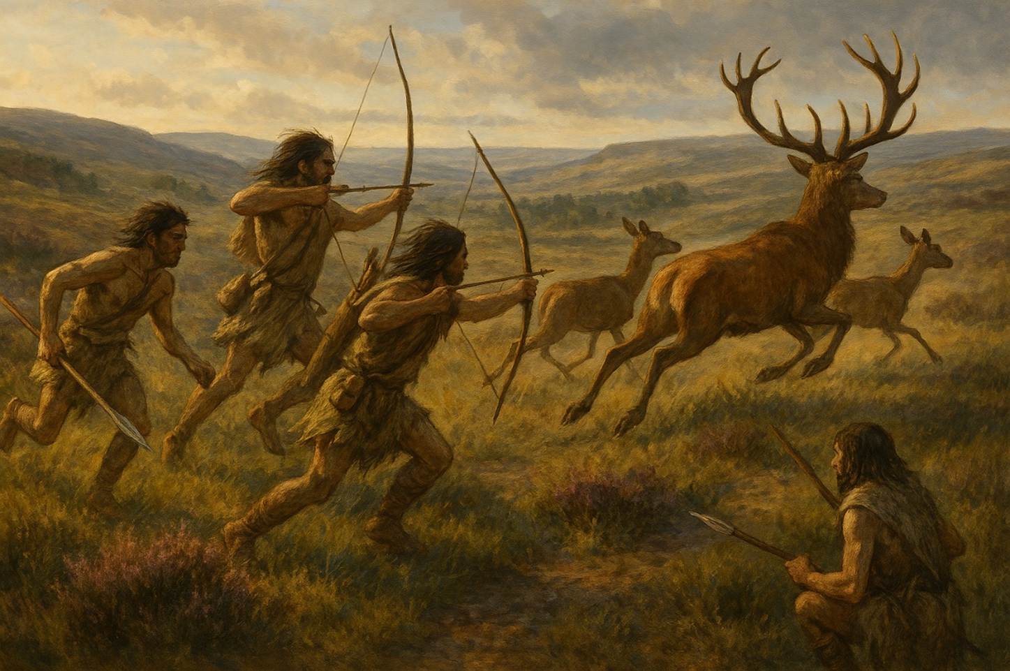
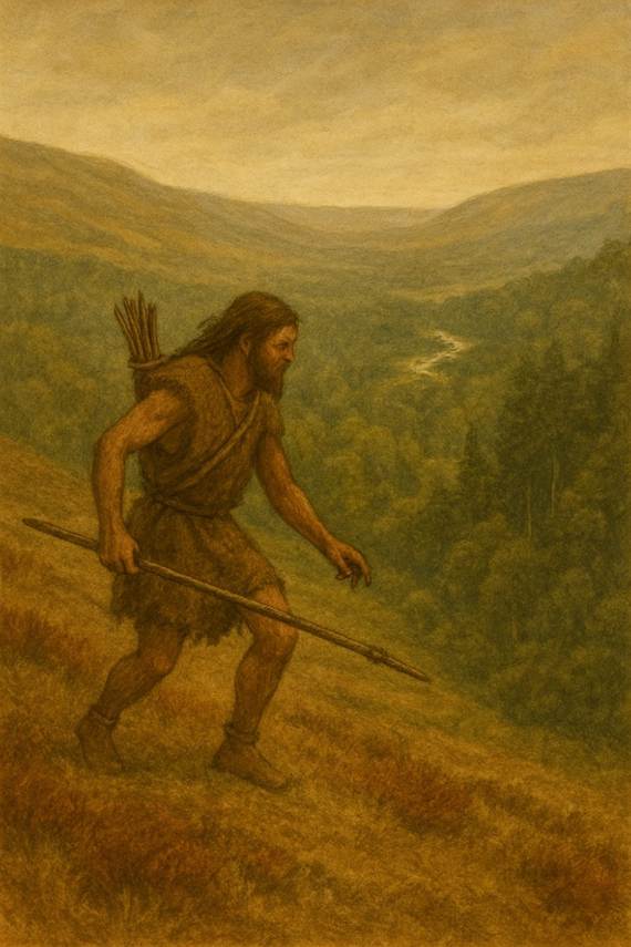
The first
wave of our ancestral settlers arrived in the area of the North Yorks Moors
after the last Ice Age, about 10,000 YBP. They were hunters, hunting wild
animals across the moors and in the forests. Relics of this early hunting,
gathering and fishing community have been found as a widespread scattering of
flint tools and the barbed flint flakes used in arrows and spears.
|
The vicinity of The North
York Moors and Ryedale in the Mesolithic Period
The
age of hunting folk in tune with the land 9,000
BCE to 3,000 BCE |
|
The
richest Mesolithic suite in Britain, a few miles south of Scarborough, on the
edge of the ancient Lake Pickering, only 30 km from Farndale |
Since the
lands to the south of the moors were flooded after the glaciers melted,
significant evidence of human activity has been found on the higher moors
during the Mesolithic period[16].
However
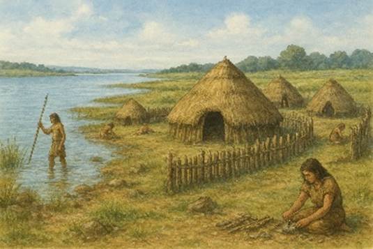
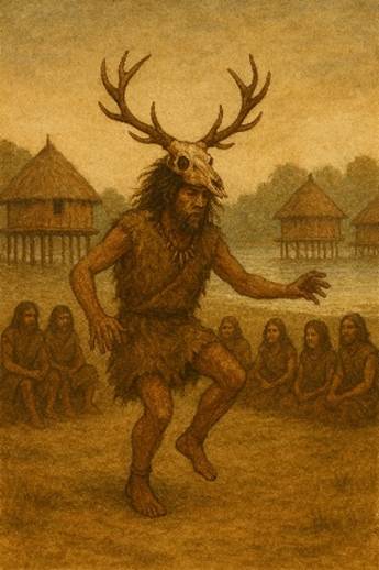
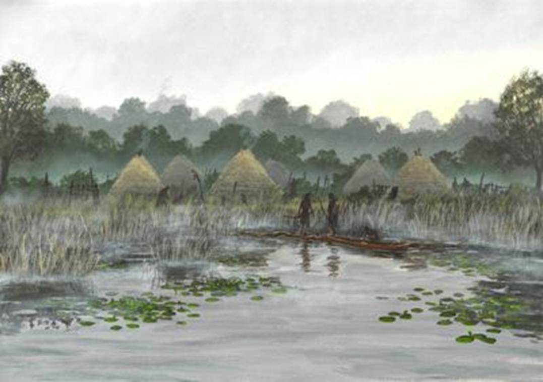
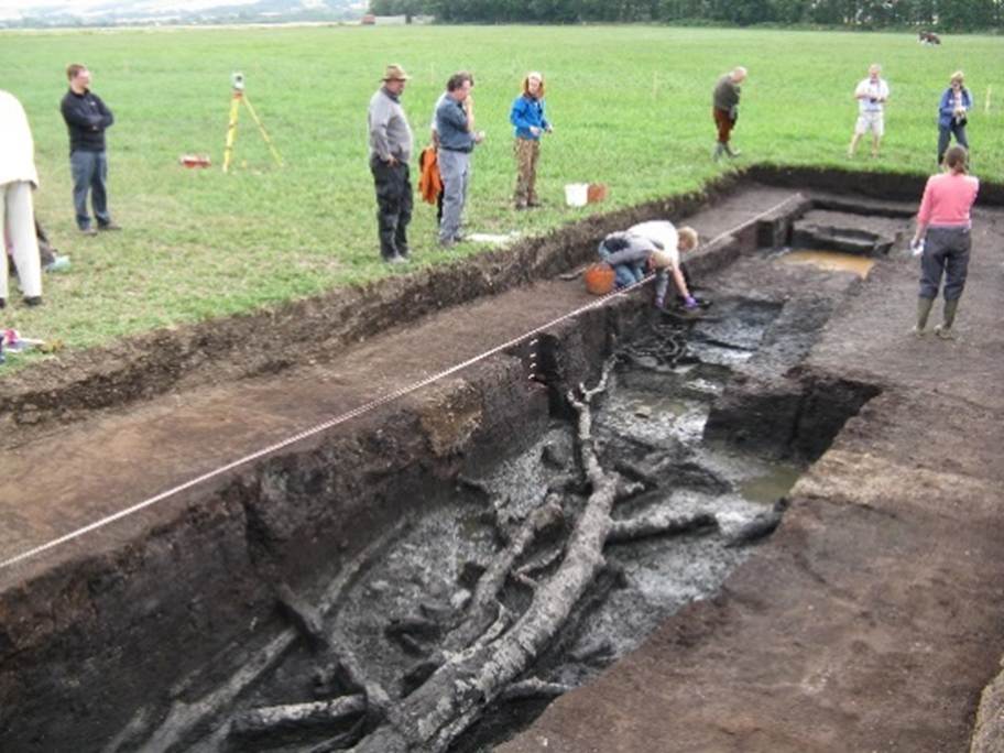
there is remarkable evidence of a group of humans who settled at Star Carr,
near Scarborough, in the floodlands of Lake
Pickering. Star
Carr was first occupied in about 9,000 BCE. There
may only have been 1,000 or so people in Britain at this time. The settlers
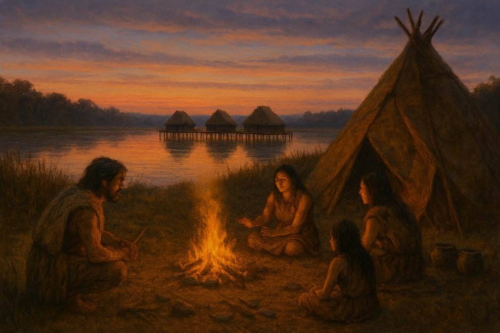
lived in tents made from animal skins which were erected on wooden platforms
around the edge of a large ice-dammed lake, Lake Pickering. It is generally
regarded as the most important and informative Mesolithic site in Britain. It
is as important to the Mesolithic period as Stonehenge is to the Neolithic
period.[17]
To
the immediate north of Farndale, Stony Rigg is a site of Mesolithic and
Neolithic activity[18].
The area between the heads of Farndale
and Westerdale[19] is one of the richest series of flint sites in
Britain. Large collections have been made at Common Stone, near Ash House, and
at Blakey Howe. Petit tranchet microliths or arrowheads, have been found
at the Farndale sites. On the higher ridges after fires or forestry
ploughing, patches or scatters of flint chippings come to light, often
plentiful in a restricted area of a few square feet[20].
Raymond Hayes found 800 flints in a small area at the
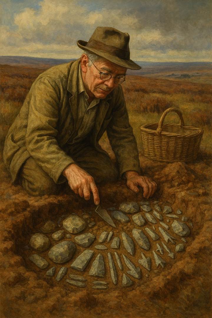
Three Howes[21] on Rudland Rigg to the west of Farndale. He
interpreted the site as a temporary camping site in a forest clearing, probably
occupied by hunters following red deer. Frank Elgee
suggested arrangements of barrows on the moors sometimes reflected the shape of
the Plough. He suggested there are at least nine mounds at Three Howes. These
groups may owe their number to the circumstance that there are three stars in
the handle of the Plough … And it may be that the numerous Three Howes either
form part of larger Plough groups, the other barrows of which may have been
destroyed or have not yet been observed, or possibly in some cases three
barrows became symbolic of the larger group of seven. The curved groups of
three more closely resemble the handle of the Plough than those which are
straight. Three, like seven has ever been a mystic number; and it is therefore
certain that the urb people attached a deep significance to the erection of
their barrows in groups of three.[22]

Three
Howes from the main track, August 2025
The archaeology reveals a mix of activity from the
Mesolithic through to the Bronze Age[23]. The area was likely to have been forested until the
Bronze Age. There is evidence that forest had once spread across the high
ground as well as through the dales[24]. Oak was predominant, with alder, hazel and birch
scrub. Professor Dimbleby thought that it was early flint users who were
responsible for the initial felling of this forest.
Scene 2 – Stone, Bronze and Iron
Stone
|
The vicinity of the North York Moors and Ryedale in the
Neolithic Period, the New Stone Age
The
age of early farmers who brought early settlement, religious beliefs and new
structures to Ryedale 3,000
BCE to 1,800 BCE |
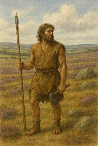
A
revolutionary advance was made in the cultural development of northeast Yorkshire
by around 5,000 YBP when the first Neolithic, or New Stone Age, settlers
arrived from Continental Europe who probably crossed the new sea around Britain
in dug out canoes. The New Stone Age was the period
when tool making skills produced stone axes, flint axes, arrow heads, spear
points, fired clay beakers and woven cloth[25].
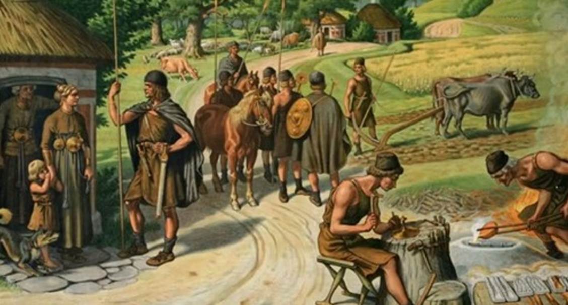
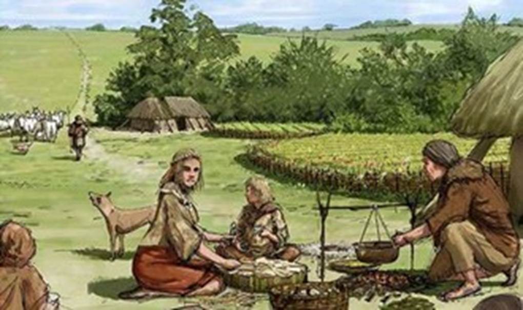
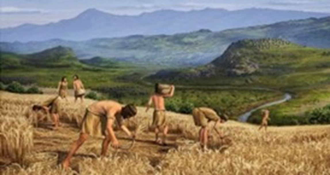
The start of
stone age farming in the area of the north Yorkshire moors was in about 5,000
YBP[26]. The Neolithic Revolution involved
arable farming and the domestication of animals. Neolithic society made
pottery, weaved cloth and created baskets. Small village communities became
settled, more reliant upon domestic animals and less on hunting. They built
stone enclosures for animals.
Sheep
have been kept
[around] Farndale and Ryedale since Mesolithic times and perhaps earlier.
Horns and skulls of a small breed of sheep have been found with beakers dated
to 3,750 years ago in the fissures near Helmsley. Bulls and cows go back as far
as this also. Oxen were used for fraught animals and ploughing until the 18th
and 19th centuries.[27]
The
development of grinding and polishing stone allowed a variety of stone as well
as flint to be used. Hard boulders from local glacial deposits were useful raw
material. Flint axes, some polished, were found at Peak[28], south of Robin Hood’s Bay and green
stone axes were found in Seamer[29]. Seven miles east of Pickering in the centre of a round barrow were found a
burnt flint knife and a round axe.
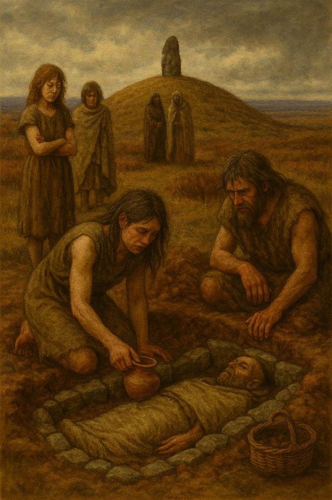
The
Neolithic people buried their dead with ceremony, in chambered mounds called
barrows, or in caves and in stone lined graves[30]. The organisation required to erect
the large megalithic structures and the barrows suggests developed societies[31].
The
majority of the large barrows and a few of the smaller run in irregular lines
often with considerable distances between them. Moreover most of these lines
follow the summit of ridges between the dales, and seem to lead from one group
of small mounds to another many miles away.[32]
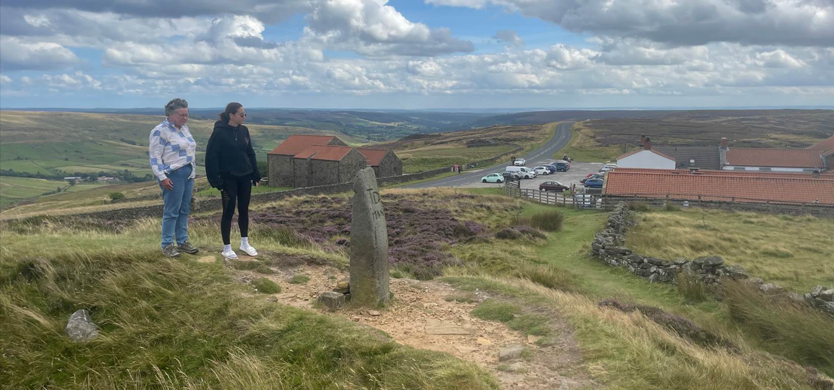
Blakey Howe
is a round barrow which includes buried and earthwork remains of a burial
mound, also known as Cockpit Hill, topped by an eighteenth century boundary
stone. It is located eighty metres from the Lion Inn. It survives in an
area which was later extensively worked for coal, an activity which has left
behind several spoil heaps along the ridge. Referred to as Blakenhow
in a Charter of Gisborough Priory in 1200, the round barrow sits on a natural
rise on the spine of Blakey Ridge and has line of sight to other prominently
located barrows in the area. Constructed of earth with some stone, it is just
over twenty metres in diameter and stands two metres high with an ancient
excavation hollow six metres in diameter and up to one and a half metres deep. This
hollow is thought to have been later used for staging cockfights, explaining
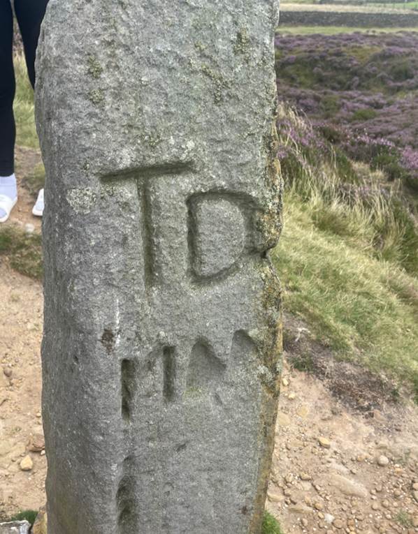
the barrow's alternative name. On the rim of this hollow, on the southern side,
there is a one and a half metre high boundary stone which tapers towards its
top. On its west face it is inscribed with the initials TD above four more
weathered characters. This is a reference to Thomas Duncombe who owned the
Duncombe Estate west of Helmsley in the early eighteenth century. It is
possible that this stone is a redressed and reset prehistoric standing stone.
Far back
in the boreal period, 5,000 to 6,000 years ago, the Mesolithic flint knappers, hunting wild animals in the forest clearings,
camped on the ridge close to the present inn. Just to the north stands Blake or
Black Howe, a bronze age or neolithic round tumulus with a stone kerb. It has
been dug into at the centre in the distant past, and the deep hollow or crater
in the large mound was the scene of many a cock fight in the nineteenth
century. From the Howe it is possible, on a clear day, to see York Minster.[33]
From about
2,000 BCE huge prehistoric monuments appeared in the Megalithic Period[34]. The largest standing stone in
Britain is a single pillar of grindstone, 25 feet high. It dominates the
churchyard at Rudstone, a few miles west of
Bridlington[35]. The nearest source of stone is 10
miles north of the site.
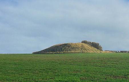
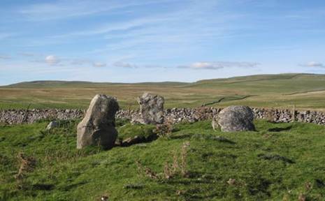
The Yearsley
Moor long barrow[36] and round barrows on Ampleforth moor
have been excavated[37] at the home of the later ancestors
of the Ampleforth line of
Farndales.
Bronze
|
The vicinity of the North York Moors and Ryedale in the Bronze
Age
The
Beaker Folk who introduced metal working to Britain including northern
Yorkshire 1,800
BCE to 700 BCE |
|
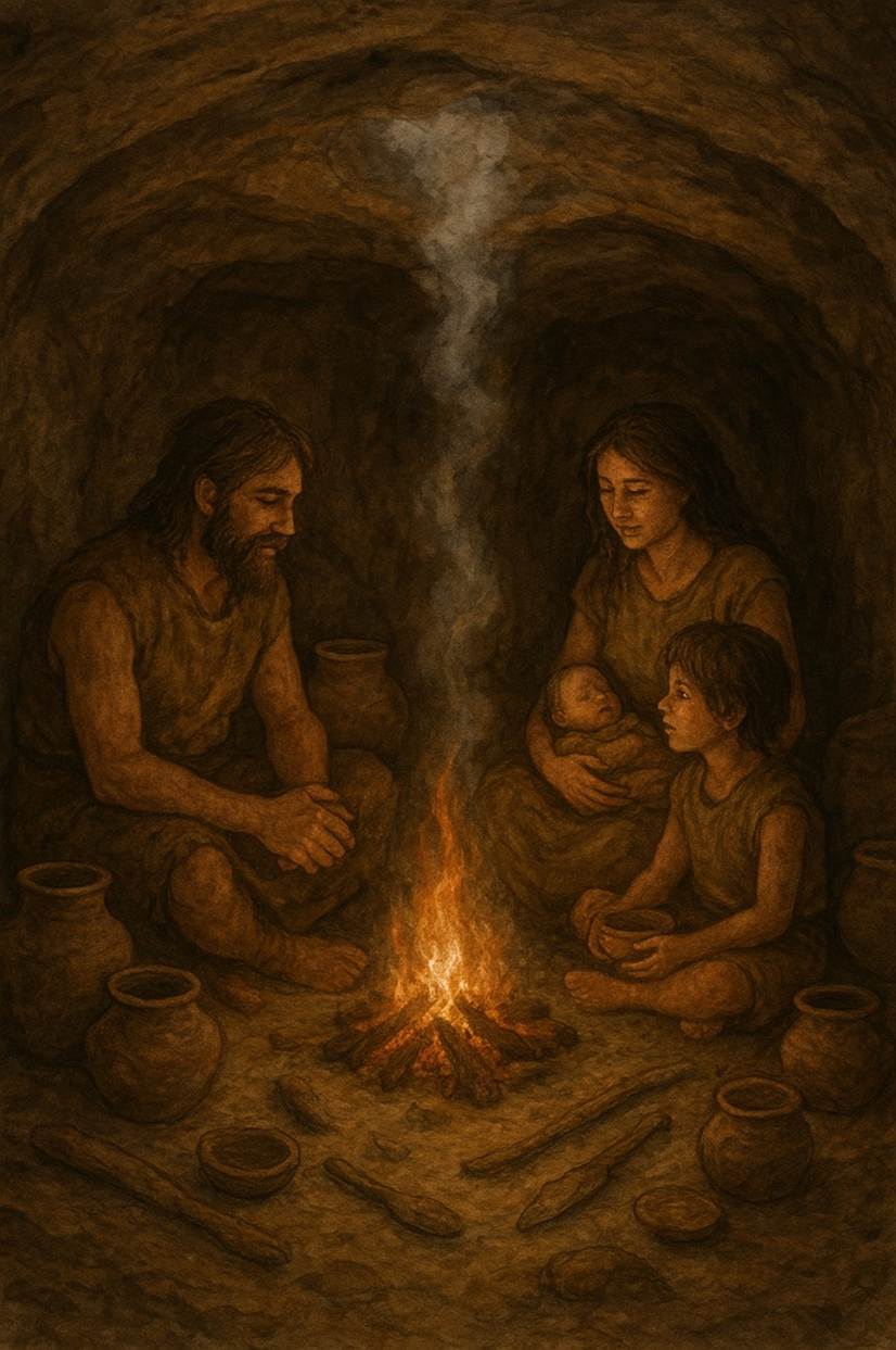
Underground caves, only 15 km
from Farndale, which were the home of the Bronze Age Beaker Folk |
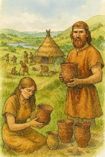
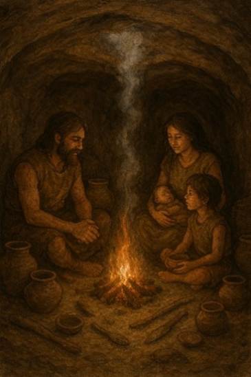
The use of
bronze was probably introduced into Yorkshire by the Beaker Folk[38], who arrived in the area via the
Humber Estuary in about 1,800 BCE. They came across the Wolds and crossed the
Pennines. Their name is derived from their tradition to bury beaker shaped urns
with their dead.
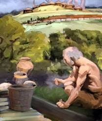
Beaker Folk
reached Malham Moor near Settle in the west Yorkshire dales and occupied sites
on the Yorkshire Wolds. They cultivated wheat and there is evidence of trade.
They imported flat bronze axes from Ireland and exported ornaments made of
Whitby jet.
The people
of the Bronze Age continued to hunt in upland areas. There have been finds of
their barbed and tanged flint arrowheads. Gradually these were replaced with
metal tools and weapons. There is evidence during the Bronze Age of metal
working and tin mining, leather and cloth manufacturer, pottery and salt
production. There was domestic trade and trade beyond the island’s shores. They
traded in salt and had sea connections with Scandinavia. The population of the
British Isles steadily grew to perhaps about 2 million.
Permanent
settlements were built, such as at Ulrome, between
Hornsea and Bridlington, where a dwelling built on wooden piles on the shore of
a shallow lake has been found[39].
The Amesbury Archer in modern Wiltshire dates
to about 2,000 BCE and is the earliest Beaker Folk site, associated with the
first examples of metal, both copper and gold, in Britain[40]. The earliest metal implements were of copper supplied from
Irish and German sources, not yet alloyed with tin. Ireland became a centre of
early bronze industry and travelling bronze smiths and tinkers left traces
across the north of England[41]. Copper began to arrive in Britain
in Professor Hawkes’ Copper Age 1, c 1,850 to 1,750 BCE[42], contemporary with late Neolithic
cultures and particularly the early Beaker cultures. However metal implements
did not appear in Yorkshire in any quantity until Copper Age 2, when the
copper and gold was likely to have been mostly of Irish origin. The Copper
Age 2, c 1,750 to c 1,600 BCE, included thick butted axes found in East
Yorkshire and the Pennines.
The Migdale
industry flourished in Professor Hawkes’ Early Bronze Age 1, c 1,600 to
1,500 BCE. The industrial tradition of metal working using a true bronze of
copper alloyed with tin was named after the Migdale hoard from
Sutherland[43]. Migdale axes are widely
distributed in Yorkshire with a concentration on the Wolds, a number in
Holderness; and a scatter from the limestone hills of North-east Yorkshire, the
Howardian Hills, the Vale of York.
During the
next phase of the Early Bronze Age 2, c 1,500 to 1,400 BCE, the Migdale
industry continued and developed its flat axe into an axe with slight flanges.
During this phase the Migdale industry had a competitor for the supply
of bronze implements, the Arreton Industry,
named after the hoard of bronze implements from Arreton
Down, Isle of Wight, but in Yorkshire the Arreton
axes are not as numerous as the Migdale axes. This was the period when
the Dover Boat[44] was built in Kent, dating to about 1,520 BCE, the oldest
surviving sea going vessel in the world, originally about 20 metres long, a
vessel that carried cargo between Britain and Continental Europe, including
bronze and perhaps wool and fabrics.
The Dover
Boat was deliberately dismantled and abandoned, not lost as a wreck. Bronze Age
folk felt that they were only borrowing resources, so that one day they had to
be returned to the earth. Similar practices have been identified with many
objects such as rapiers and other weapons. By 1,500 BCE Britain was a rich,
wealthy land, with the emergence of a Bronze Age elite connected to the land.
Ordinary people had continued to farm the land as they had done for centuries,
often with limited permanency, sometimes adopting seasonal patterns to follow
the flow of resources. However with the growing elite classes, there was an
increased permanency of association with the land. These communities may have
been a relatively relaxed society as the population was still low. In many
areas there may not have been significant violence, nor an underclass. Except
at areas of flashpoint between communities, excavated skeletons tend to suggest
well nourished folk living comfortable lives during
the early period of the Bronze Age.
The Middle
Bronze Age, 1,400 BCE to 900 BCE may, in the area of the North Yorkshire
Moors, have started by 1,700 BCE[45]. Permanent dwellings led to the
evolution of the first small settlements, tiny hamlets, with organised field
systems around them. This was a period when people first started to live in the
same house for a lifetime and sometimes alongside neighbours who they knew over
a lifetime. The Dartmoor Reaves provide some of the best preserved landscapes
of this period, with permanent roundhouses and field systems[46]. These were permanent places where
folk spent their lifetimes, adjacent to long term neighbouring roundhouses.
This was perhaps a time when marriages were arranged between local communities
to cement relationships and build alliances. The population steadily grew to
perhaps about 2 million.
The North
York Moors might not, nowadays, seem the best place to farm, but the climate
was warmer in the past and the land more fertile; there is evidence for many
small field enclosures in Eskdale and Upper Ryedale, marked by rubble walls and
cairns of cleared stones. Those who farmed there left their important dead in
more than 200 burial mounds scattered over the area. Population increase in
Bronze Age Yorkshire seems to have led to disputes over access to resources.
This inevitably resulted in the increased demarcation of the land. Lines of
howes across the horizon, or increased building of dykes warned neighbouring
groups whose territory they were entering. Some of these dykes probably major
tribal boundaries, are huge, with multiple banks.[47]
The Bronze
Age was a time of changes in burial rituals[48]. Bodies continued to be buried in
barrows[49], but increasingly these were
circular mounds, round barrows, often accompanied by bronze artefacts. There
are many barrows in upland locations on the Wolds and the Moors. Early Bronze
Age burials were performed at Ferrybridge Henge near Wakefield[50]. Round barrows of the early part of
the Bronze Age are the most conspicuous archaeological features of the North
York Moors. The scarcity on lower ground is due mainly to agricultural
activity. Those on higher ground have generally been found to contain
cremations, while those on lower ground in limestone areas contained both burnt
and unburnt bodies. The skeletons are most often accompanied by pottery
including beakers, food vessels, collared urns and accessory cups, and flints,
and sometimes by jet ornaments, stone battle axes and occasionally by bronze
daggers. Collared urns and cremations have also been found with stone embanked
circles such as at Great Ayton moor[51]. To the northwest of Farndale, at
the northern extent of the moors, at Wainstones[52], close to Bronze Age burial mounds
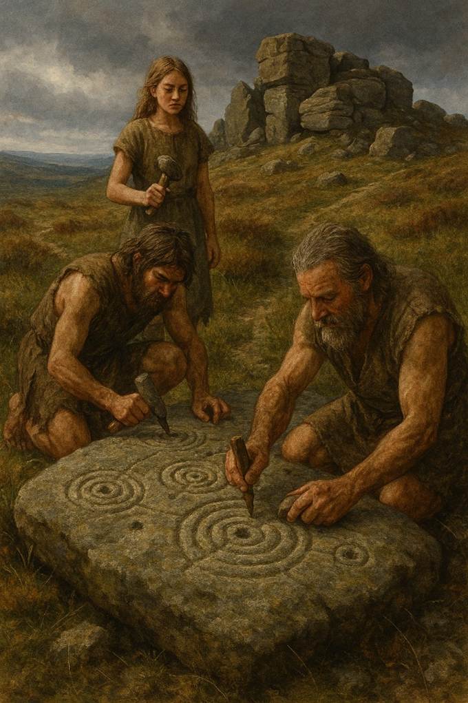
at Cold Moor (NZ 552018) and Cringle Moor (NZ 537029), cupstones have been
found on rocks at Wainstones (NZ 558035)[53]. These are Bronze Age carved rocks
on three rocks, cup and ring markings, albeit corrupted with modern graffiti.
Excavations
at Gillamoor in 1975, close to Farndale, found burnt
and unburnt human bones, mixed with burnt stones and clay, with scraps of
Bronze Age pottery[54].
There is a
Street House Long Barrow[55], later added to by an Anglo Saxon royal burial site, near
Loftus, where many later Farndales lived and are buried.
Excavations since 2010 have
revealed over twenty examples of prehistoric rock art, dating to the Late
Neolithic/Early Bronze Age; an ovoid, or oval, structure and evidence of a long
history of occupation, with Neolithic structures overlaid by later Bronze Age
activity.
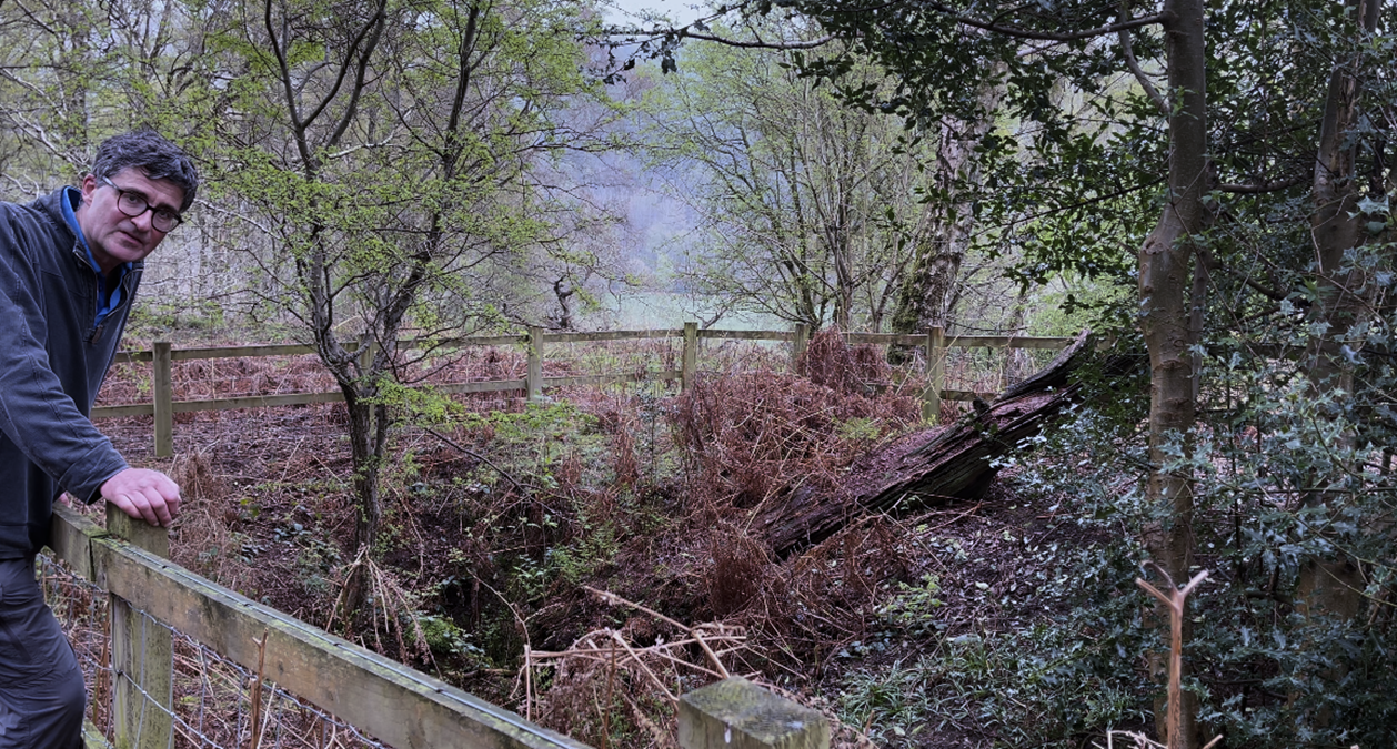
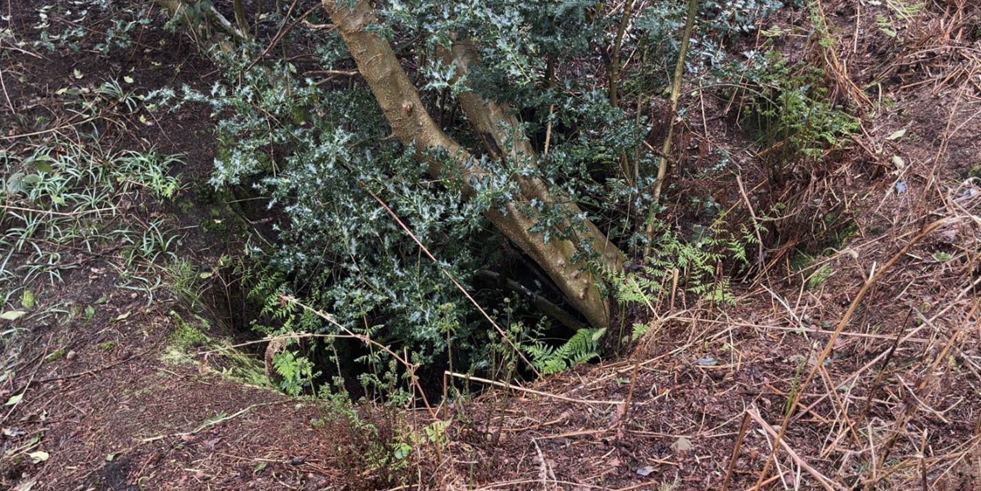
The Ryedale Windy Pits are
underground features now to be found in a woodland about 10 km west of Kirkdale and also
further west near Sutton Bank[56]. They were found by our friend the
Reverend William Buckland, after his Kirkdale
cave fame. Human bones were found in these natural underground caves, with
pottery associated with the bronze age Beaker Folk. On a cold day as the air
rises through the underground labyrinths, a mist-like steam mysteriously wisps
from below the ground.
At Burton Howe, immediately northwest of the head of Farndale, the
forest was still thick in the Bronze Age and parts of the present moorland were
likely to have been forested. Indeed the extent of woodland was much greater
than today until relatively recently. It is still within the memory of
living people that the slopes of the Dales and Moors were more thickly wooded
than at present, and the late Canon Atkinson relates that 30 years ago he had
heard a man say “Ah heared
my au’d uncle offens sat
‘at he kenned t’tahm when a
cat swirrel could gan a’t’way down from Commondale End to Beggar’s Bridge wivott yance tooching
t’grund”[57].
Raymond Hayes reported on flint
arrowheads and an urn at Stony Rigg on Farndale slope[58].
Bronze age hoards of axes cast in bronze have been
found at Keldholme and Gillamoor[59].
There are barrows on the high ground above Farndale to the west on Rudland Rigg
and to the east on Blakey Ridge. There was substantial Bronze Age activity on
the high ground all around the dale, with lines of barrows along the
ridgelines. No doubt individuals from the Bronze Age strayed down into the
forested Farndale itself in search of game, but there is no evidence of
settlement there.
Grain
Rubbing querns were used from very early times, and are still in use today in
Africa and South America to grind wild seeds; mortars were also used and a
stone found recently on Battersby Moor may be one of these. In Britain the
saddle-type grain-rubber was in use by Neolithic times (at Ehenside
Tarn in the Lake District by 3000 BC, and examples also found in megalithic
tomb). The earliest evidence we have from Ryedale is part of a heavy,
highly-polished stone from Lingmoor, on the limestone
hills, two miles south east of Hutton-le-Hole. It has a cuplike hollow, cut in
it after it was disused for grinding. This was very near a group of similar
cup-marked stones, found associated with a stone axe-hammer and mid Bronze Age
cremations, possibly about 1400 BC, in date, and reused as a votive offering
for burials.[60]
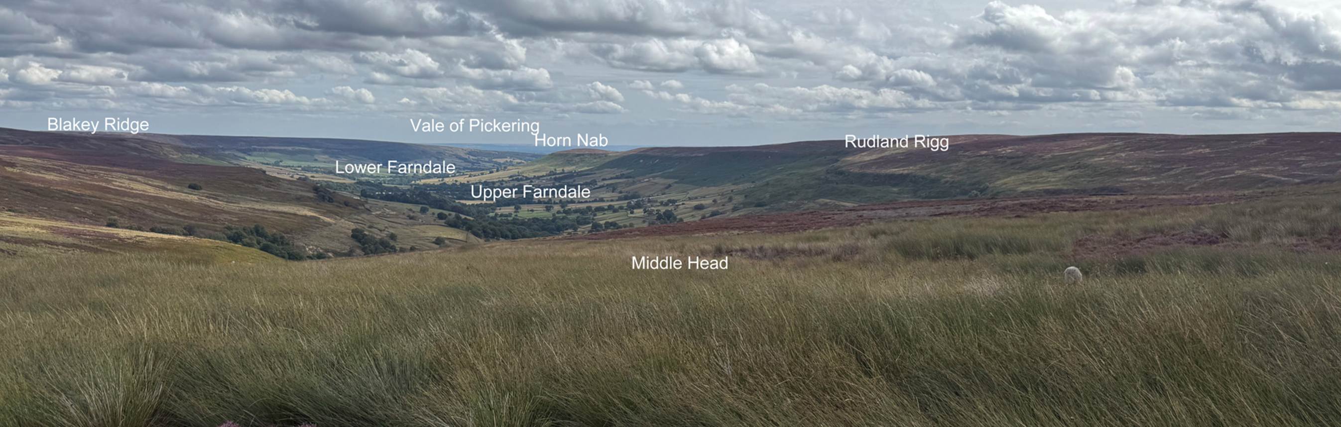
Bronze Age sites around
Farndale are focused on the higher surrounding ground of Horn Ridge[61], Stony Ridge and Burton How,
Rudland Ridge, Blakey Ridge and the lower southern approach to the dale at
Harland Moor. The high ridge known as Horn Nab or
Horn Rigg juts into Farndale from the western escarpment of Rudland Rigg. In
doing so it separates the valley of the West Gill from the main dale. The
earthworks atop Horn Ridge include a cross dyke, a bank and ditch that crosses
the spine of the ridge, an area of clearance cairns forming a cairnfield, a funerary round cairn, and at least two hut
circles[62].
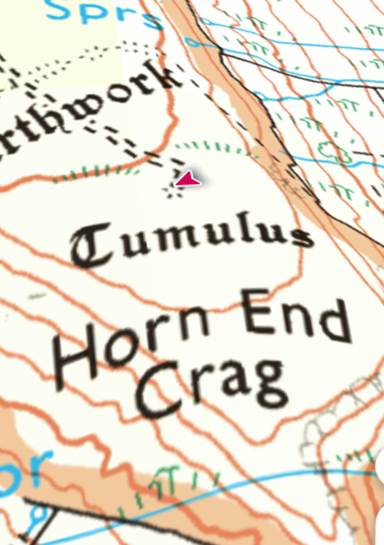
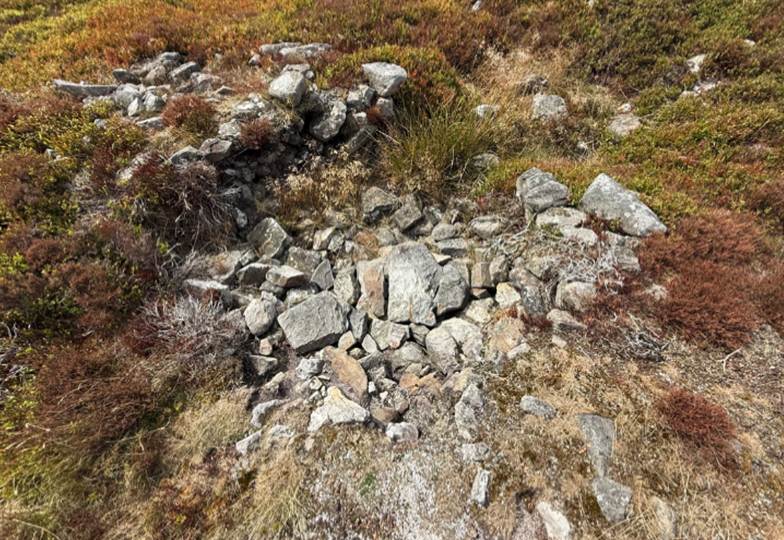
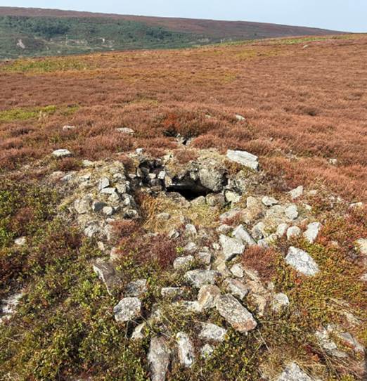
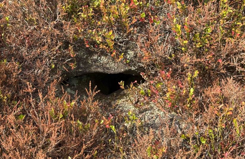
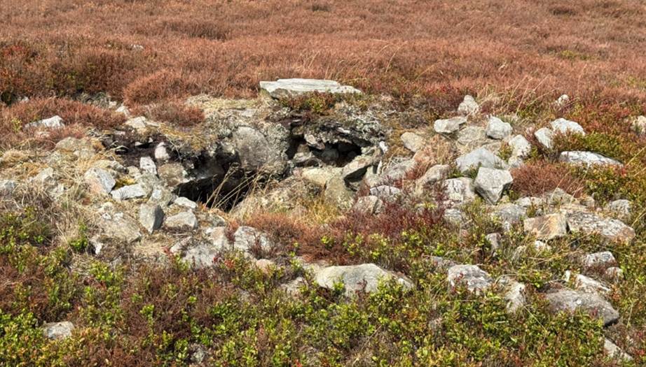
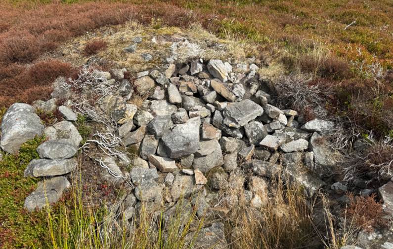
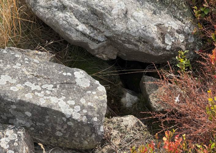
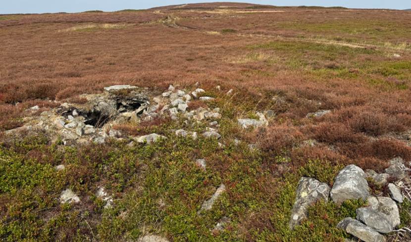
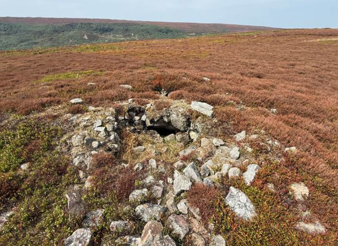
The Horn Ridge
Tumulus, August 2025
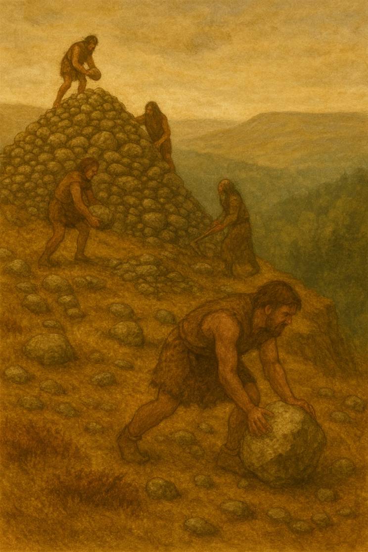
Two round cairns at Obtrusch Cairn (“Hobthrush”) are
also found on Rudland Rigg overlooking Farndale, and another cairn at Dickon
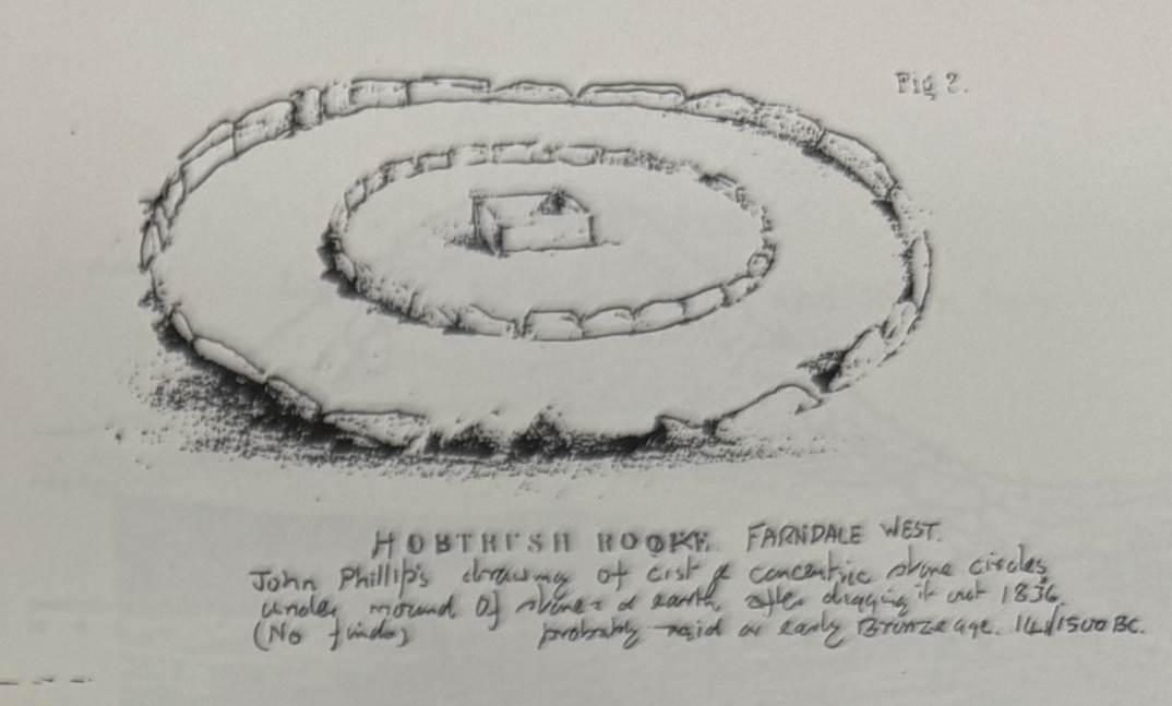
Howe on the track between Horn Nab and the main route across Rudland Rigg[63]. Another remarkable cist burial of this
age occurred in a large round barrow known as Obtrush
Rook on Rudland Moor between Farndale and Rosedale, excavated long ago by John
Phillips, the great pioneer Yorkshire geologist. At the centre of this barrow,
and on the natural surface, was a short stone cist devoid of bones, flint or
pottery … In describing the burial places of the food vessel people we noticed
that many internments were enclosed in stone circles under barrows, a striking
instance being the double circle round the cist in Obtrush
Rook on Farndale Moors. These circles may have represented huts within which
could dwell the spirits of the dead. Or they may have been magic boundaries
beyond which the spirits could not pass and within which they must for ever be
confined. There can be little doubt that these circles were derived from the
stones with which Neolithic man often surrounded his long barrows and circular
chambered cairns. They have not been found in the homelands of the Early Bronze
Age invaders, who therefore must have adopted them as they adopted the food
vessel and cremation[64].
A stone circle and cairn field with a
field system is close to the road on Harland Moor on the southern approach to
Farndale[65]. Besides
the kerbs or circles of stone covered by cairns or tumuli, embanked or free
standing circles are found more rarely. One of the best examples was noticed by
Mr R W Crosland of Hutton le Hole on Harland moor, west of the quarry at Cross
Top. It contains about eighteen stones set in a slight bank six to eight feet
wide and one and one half to two feet high. Some have fallen and the tallest is
about four feet in height. These circles were both ceremonial or burial.
Cremated bones and urns have been found inside them. The Farndale circle is
just over 70 feet in diameter; turf roads cut across it and old ironstone bell
pits have disturbed part of the interior. Smaller circles which might be the
outline of huts lie on the moor to the south near Harland Beck Farm. Many flint
implements have been found in the locality. Just west of the circle is a group
of small cairns, burial places of the late bronze or early iron gage. Many have
been removed for walling stones or roads, but very little evidence of their purpose
has been found in the small cairns apart from signs of cremation in a few. Low
banks of stone walling connected with them are thought to be the remains of
cultivation plots of small fields.[66]
Forests were
cleared at such a rate that around 1,000 BC Iron Age Britain was not, as was
once romantically imagined, an unbroken forest kingdom stretching from Cornwall
to Inverness but rather a patchwork of open fields, worked with rudimentary
ploughs to harvest beans and grains, dotted here and there with woodland copses
giving cover for game, especially wild pigs, and intensively worked to stoke
forges and supply timbers for the building of the circular huts and houses in
which most of the population lived.[67]
The Late Bronze Age,
c 900 to 700 CE, was a period of migration and of nomadic people moving over
Europe. A hoard of eight axes and a bronze bell and hammer were found at
Keldholme Priory; a fine hooped spearhead was found at Helmsley and a looped palstave
or axe head and socketed axe at Kirkbymoorside[68]. At the east end of the Howardian
Hills, near Welburn, a late Bronze Age cinerary urn designed to hold cremated
ashes was found[69].
Bronze Age farmers were
growing crops like oats and rye and keeping sheep in enclosures. There was a
warm, favourable climate during the Bronze Age, allowing expansion across new
lands.
The Salcombe Wreck was a
vessel which sank off the Devon coast laden with copper and tin ingots mined
across southern Europe in about 1,000 BCE evidencing the extent of
international metal trading in the Late Bronze Age[70]. The exchange of bronze had
become an important source of wealth. The Llyn Fawr
Hoard from Glamorgan, c 750 CE, reveals the scale of trade in bronze by the
Late Bronze Age, fuelled by demand from a high class elite, who couldn’t get
enough of it[71]. Britain was known as the Tin
Islands, with a rich resource in tin from Cornwall, and also in sources of
copper, by now mined at scale as at the Great Orme Copper Mine in North Wales
from 2,000 to 600 BCE[72]. The boom in exchange of bronze
objects started to spin out of control[73]. The
impact over time started to reach and be repeated to the north. The production
of bronze started to surpass any practical purpose, since there were only so
many axes that people might need. Bronze had become a unit of exchange which
had fuelled the scale of mining at places such as Great Orme. It had become a
proto-currency, divorced from its practical use.
By
800 BCE Britain was heading for economic meltdown. Bronze began to be dumped as
evidenced by the Langton Matravers Bronze Axe Hoard from Dorset, c 750 BCE, of
nearly 400 socketed bronze axes that were mostly unused but buried in the
ground[74]. The Llyn Fawr Hoard also included a new
material, which included sickles made of iron, the earliest iron objects in
Britain.
Iron
Iron
was not as beautiful as bronze, but it was stronger and kept its edge better,
which was ideal for weapons[75].
|
The vicinity of the North York Moors and Ryedale in the Iron
Age
The
Celtic Brigantes folk who formed proto kingdoms 700
BCE to 70 CE |
|
A
massive Iron Age promontory Hill Fort only 20 km from Farndale |
|
The ancient
routes across the moors
Exploring
the ancient tracks and roads across the moors around Farndale |
Ironwork had first appeared in the eastern Mediterranean around
1,200 BCE. By 800 BCE it started to be used by an elite class in central
Europe. The introduction of iron
seems to have triggered a late Bronze Age crisis, with a period of economic
stagnation for about 200 years, also associated with a period of sudden and
severe climate change. This was the period of a colder and wetter Britain. The Bronze Age people in Britain, such as the
Beaker Folk were influenced by Celtic speaking incomers who had moved north
from the Mediterranean via northern Gaul. Britain’s
population fell during this time, perhaps for the first time since the Ice Age.
This was a period of social turmoil which reshaped British society. The European Iron Age was a period of
upheaval when technology and societies were changed forever[76].
The climate began to
improve from 600 BCE and different regions of Britain started to develop in
different ways, leading to greater regional diversity. This was the period of
massive stone towers, brochs, such as the Broch of Gurness on Orkney (400 BCE) in the far north of Scotland[77], which may have stood 10 metres
high. These were defensive structures. The Crannog[78] was another Celtic structure for defence, built on stilts into the
lochside. In mainland Britain farming communities
were creating hill forts as alternative defensive features, such as at Roulston Scar, which dates back to around 400 CE. The
site covers 60 acres, defended by a perimeter 1.3 miles long. It is the largest
Iron Age fort of its kind in the north of England. The massive promontory hill fort of Roulston Scar at Sutton Bank, a
limestone cliff which overlooks the Vale of York, between Helmsley and Thirsk,
is about 20 kilometres to the west of Kirkbymoorside and Farndale.
By about 500 BCE there was
more stability. It was at this time that iron first appeared in quantity[79]. This was a period of impressive
technological innovation, illustrated by the Fiskerton
tools in Lincolnshire, c 400 BCE[80]. Iron could be hammered into
multiple different forms and, unlike the specialist skill of bronze working,
was no longer the preserve of the elite. Iron could be worked by ordinary folk.
It soon became central to village life. It is more elastic and versatile and
could easily be reworked if broken or misshaped. It was harder wearing. The ore
was easy to find and did not depend on a complex trade network. It also
provided the material for heavier ploughs with an iron tip that could withstand
heavy soils.
This led to rapid
population increases and to new power structures. Tribal leaders started to see
themselves as rulers of proto kingdoms.
Long periods of peace were
interspersed with sudden outbreaks of violence often triggered by minor
squabbles. The outcome was sometimes very violent warfare. Weapons and
skeletons from Danebury[81] reveal the violence. Violence
must have been a constant experience of life, with injured young men living in
communities, perhaps dreading the time when they would next be called to defend
their settlements. These were no longer peaceful, cooperative societies.
Horses, previously
uncommon, started to be domesticated and used in battle, with early evidence of
horse riding. This allowed raiding at distance. Horses gave significant
military advantage.
Aerial
photography has revealed that much more of Yorkshire was farmed in the Iron Age
than appears on the ground. Extensive hut circles, field boundaries and ladder
settlements, where houses and fields are connected together in straight lines
like ladders, can be seen as crop marks in many places. The Wolds were, it
seems, once again more heavily populated than the rest of Yorkshire. Early
ploughs could cope better with the light Wold soils
than the heavier clays of the Vale of York. New land was brought into
cultivation as the population increased, and the system of Bronze Age dykes was
greatly extended as land was divided more and more.[82]
The theory of a Celtic migration and
conquest is probably too simplistic[83]. A sophisticated culture of warriors, druid
priests[84] and artists evolved across Britian, both
importing and exporting ideas across trade zones, an indigenous culture in
contact with, rather than conquered or settled by, peoples from Continental
Europe. Iron Age Britain evolved on sites which had been occupied for thousands
of years.
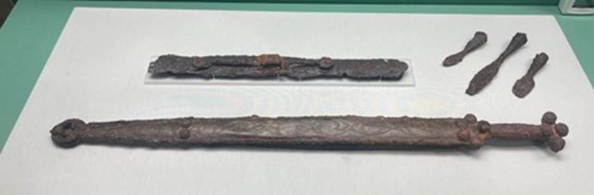
The Kirkburn Sword, East Yorkshire, British Museum
A pinnacle of the new Celtic art is
the Kirkburn sword[85] from East Yorkshire, c 300 BCE. It is a
composite item assembled from 70 separate pieces, including iron, bronze and
horn, into an exquisite item. It was used in battle and repaired on one or more
occasions. The Kirkburn
Warrior is the skeleton of a man in his late 20s to early 30s[86]. He was placed in the grave in a crouched
position with his knees pulled towards his chest. Three spears were thrust into
his body after he was buried, to mark his martial prowess, with the shafts
jutting out of the ground as a visible marker.
By 300 BCE Britain was a place of
Celtic warriors and horsemen[87]. This was a new Celtic Age. The Wetwang Slack Iron Age Cemetery, c 300 BCE, about ten miles
from Kirkburn, comprises multiple small barrows each
of which is a grave[88]. Though unique to East and North Yorkshire,
this form of burial is also found in the Marne region of France, suggesting
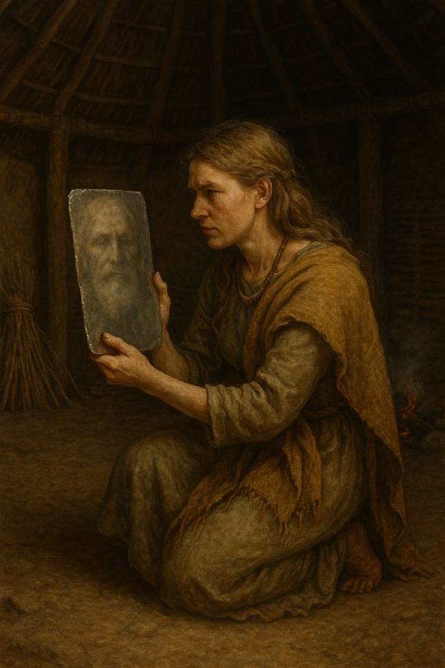
contact with the Continent. The Wetwang Woman[89] suggests the important role of women in
Celtic society in Yorkshire at this time. She died perhaps in her late 40s, but
with teeth in a good condition suggesting a privileged diet. She was buried
lying in a chariot along with horse driving artefacts. Amongst the artefacts
was an object like a mirror, but which would have been blurred and may have
been an object used to peer into a different blurred world of ancestors, to
communicate with the dead. She was a woman of importance, who may have been a
priestess.
In 1880 a leaf shaped
bronze sword, with a broken handle, was found on Soldier Plain between Harome and Wombleton[90].
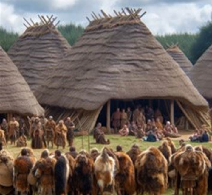
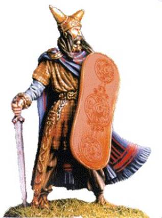
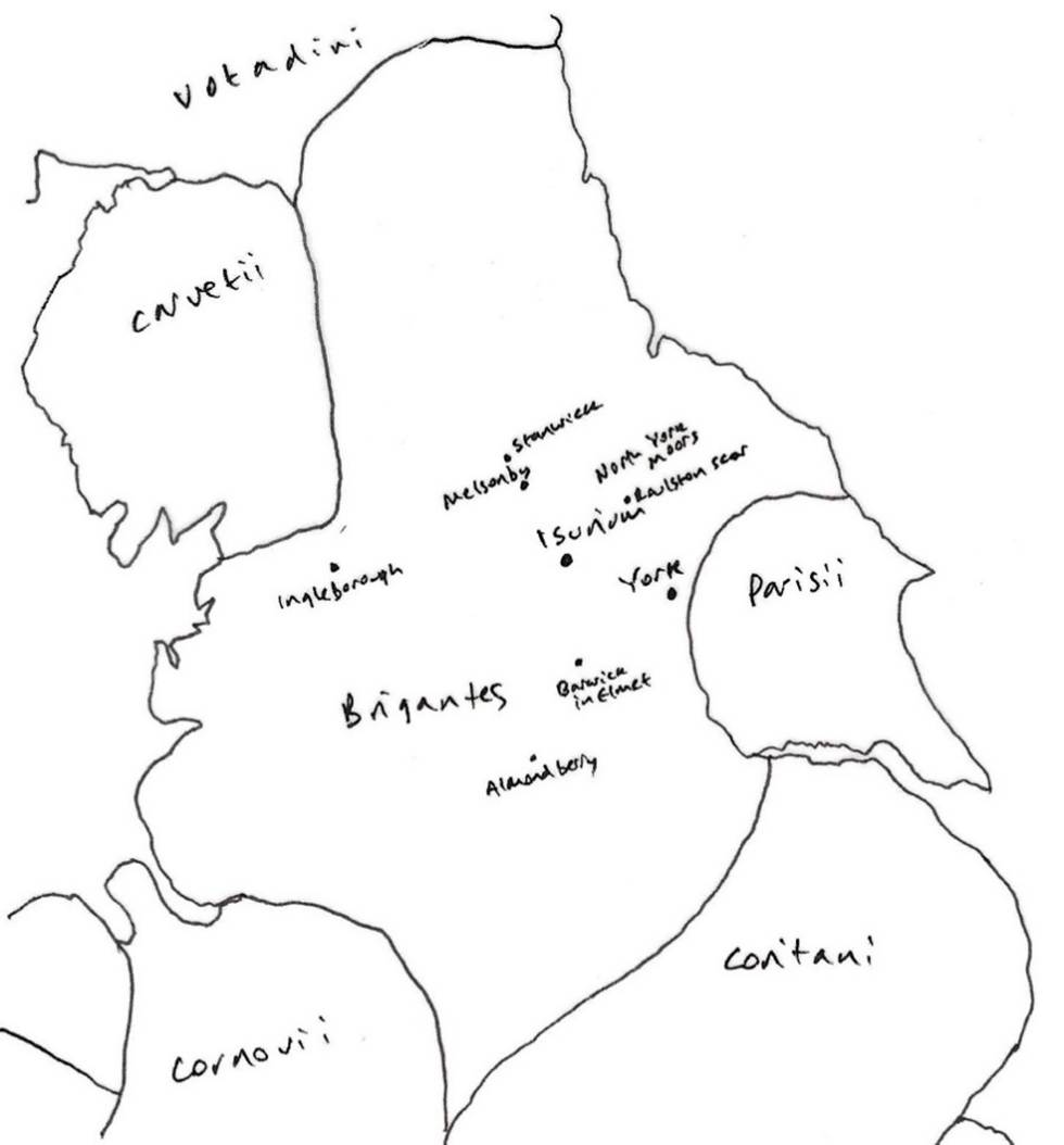
The Celtic people of north eastern
England included the Brigantes. They were skilled horsemen. They went
into battle with iron wheeled, horse drawn chariots, and attacked their enemy
with swords and spears. The Brigantes were an organised society, with a
hierarchy of military rulers. The mobility provided from their horsemanship
enabled them to control lager areas. Their farmsteads were made up of groups of
small square or rectangular fields and were often enclosed by low walls of
gravel or stones. Their huts were made of branches, or wattle and stood on low
foundations of stone.
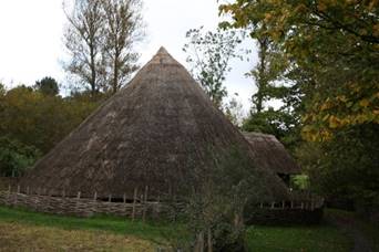
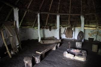
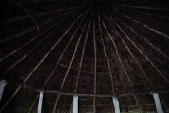
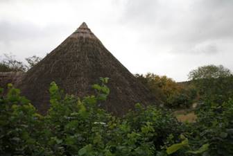
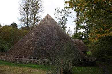
Reconstructed
Iron Age round house at the Ryedale Folk Museum
There are
outlines of other Celtic settlements near Grassington[91] and Malham[92]. The most impressive Iron Age
remains are at Stanwick[93], north of Richmond where pottery has been found across
a large area which had originated on the continent.
There is
evidence that the aristocracy lived in rectangular enclosures often about 60 by
80 metres with two metre wide defensive ditches for further protection. Farms
may have worked about 250 acres and the fields around the farms grew cereals
and hay for winter feed. The non aristocratic folk would have worked the land
in the enclosure farms for their masters.
Iron furnace
remains and slag from smelting have been found. Iron ore may have been mined in
Rosedale. Those living closer to the sea may have picked up food from the
beaches.
Costa Beck[94] is a small river near Pickering. Excavations from the 1920s
revealed Iron Age lakeside settlements through the Vale of Pickering. Animal
bones, pottery sherds and a human skull have been excavated[95]. There are several sites in the
Pickering Vale, including at West Heslerton[96] where there were small enclosures
for stock breeding and growing crops in the wetlands around the once Lake
Pickering.
The last
inhabitants of northern Britain before the arrival of the Romans were
illiterate, but left their mark in the place names of Yorkshire. Many Yorkshire
rivers carry Celtic names including the Aire, Calder, Don, Nidd, and Wharfe.
The name
Brigantes occurs in other places, and I cannot help thinking that when its true
history is found, it may prove to have been no tribal name, but rather a
nickname adopted and used by a local confederacy, that was taken up,
crystallised, and extended by the Romans. Indeed, various hints in the story of
Cartimanua seemed to show that she and her husband Venutius ruled over rather different branches of the same
tribe and had by no means the same interests. If this were so, it would explain
the great size of the Brigantian territory. We know
that the local confederacy did not always act together. There was an anti Roman party before the adventure of Caratacus. The
inspiration of their patriotism came not so much from that persistent agitator
as from their own obstinate, acquisitive temper.[97]
The Brigantes[98] were not the only Celtic people to
occupy northeast Yorkshire. In Holderness and the Wolds area, were a folk known
as the Parisii who came from France and
Belgium. The main Parisii[99] settlement was probably close to Brough near Hull.
Several
large fortifications witness the efforts of the Brigantes in their
encounters with the
Romans.
The birth
of a nation
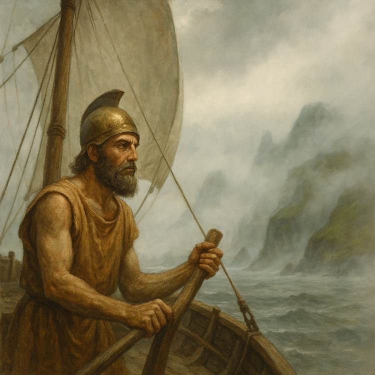
In 320 BCE,
the Greek explorer, Pytheas of Messalia[100] sailed around Britain[101] and called it Pretannike,
probably from the Celtic word for tatooed, and
which evolved to Britannia over time. The larger island of the British
Isles came to be called Alba or Albion and the western island,
modern Ireland, was Ivernia or Hibernia.
Centuries
later in the History of the Kings of Britain[102] by Geoffrey of Monmouth, a story
emerged that the Trojan Brutus had landed in Albion finding only giants and
named the land Brutaigne.
The first
ideas of a nation were beginning to emerge.
The lands
of Kirkdale
There is
archaeological evidence of settlement across the Vale of Pickering in the
period before the arrival of the Romans. This included farms, many within
ditched enclosures, surrounded by small fields. The vicinity of Kirkdale was a rural
area, with dispersed settlements. The hill adjacent to the later Roman villa of
Beadlam was a place of deep antiquity. Concentrations of flints and nearby
barrows evidence earlier Neolithic and Bronze Age use of the site. Beadlam lay
within the region formerly controlled by the kingdom of the Brigantes.
During the Iron Age an unenclosed settlement with roundhouses emerged on the
hilltop, within a large polygonal enclosure. Trackways and enclosures were established by the first
century CE, shaping the landscape and evidence suggests metalworking, with
pottery linked to regional smiths, and cereal farming was occurring.
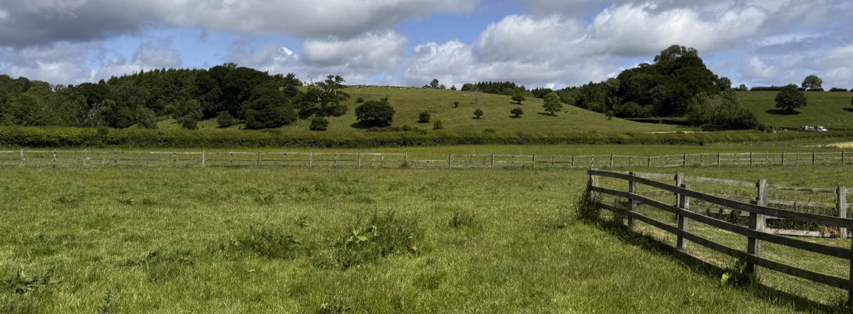
The
ancient hill to the north of Beadlam Roman Villa, 2025
There was
contact between these settlements by north to south routes through the valleys
on the sides of the moors and east to west through the Vale of Pickering.
Go Straight to Act 3 – Roman Kirkdale
or