Historical and geographical information
|
Return to the Home Page of the Farndale Family
Website |
The story of one family’s journey through two
thousand years of British History |
The 83 family lines into which the family is divided.
Meet the whole family and how the wider family is related |
Members of the historical family ordered by date of
birth |
Links to other pages with historical research and
related material |
The story of the Bakers of Highfields, the Chapmans,
and other related families |
Dates are in red.
Hyperlinks to
other pages are in dark
blue.
Headlines are in brown.
References and
citations are in turquoise.
Context and local
history are in purple.
This webpage is
divided into the following sections:
·
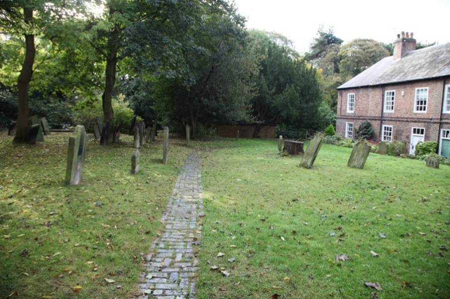
The Farndales of Kirkleatham
·
Kirlleatham
·
Kirkleatham Timeline
·
Links, texts and books
The Farndales of
Kirkleatham
Nicholas farndaile (FAR00059),
was buried at Kirkleatham on 6 Aug 1572. Agnes Farndale (FAR00060)
was buried at Kirkleatham on 23 January 1586. Nicholas and Agnes Farndale were
almost certainly the common ancestors of all modern Farndales The early
Farndales comprised the
Doncaster Kirkleatham Skelton Line. It is probable
that between 1564 and 1567, the family moved to Kirkleatham, either because
Agnes came from there or because their daughter Jean’s husband Richard Fairly
came from there. The family soon moved on to the Skelton area nearby and then
settled around the wider Cleveland area.
Other Farndales
associated with Kirkleatham are George Farndale (FAR00156) and John
Farndale (FAR00305).
Kirkleatham
Kirkleatham is a
village in the Borough of Redcar and Cleveland in North Yorkshire. It is
approximately 7 km northwest of Guisborough, and 5 km south of Redcar. The
village has a collection of buildings that formed the Turner Estate, named
after the Turner family who lived in the area from 1661. It has one of the best
collections of Georgian-style buildings in England.
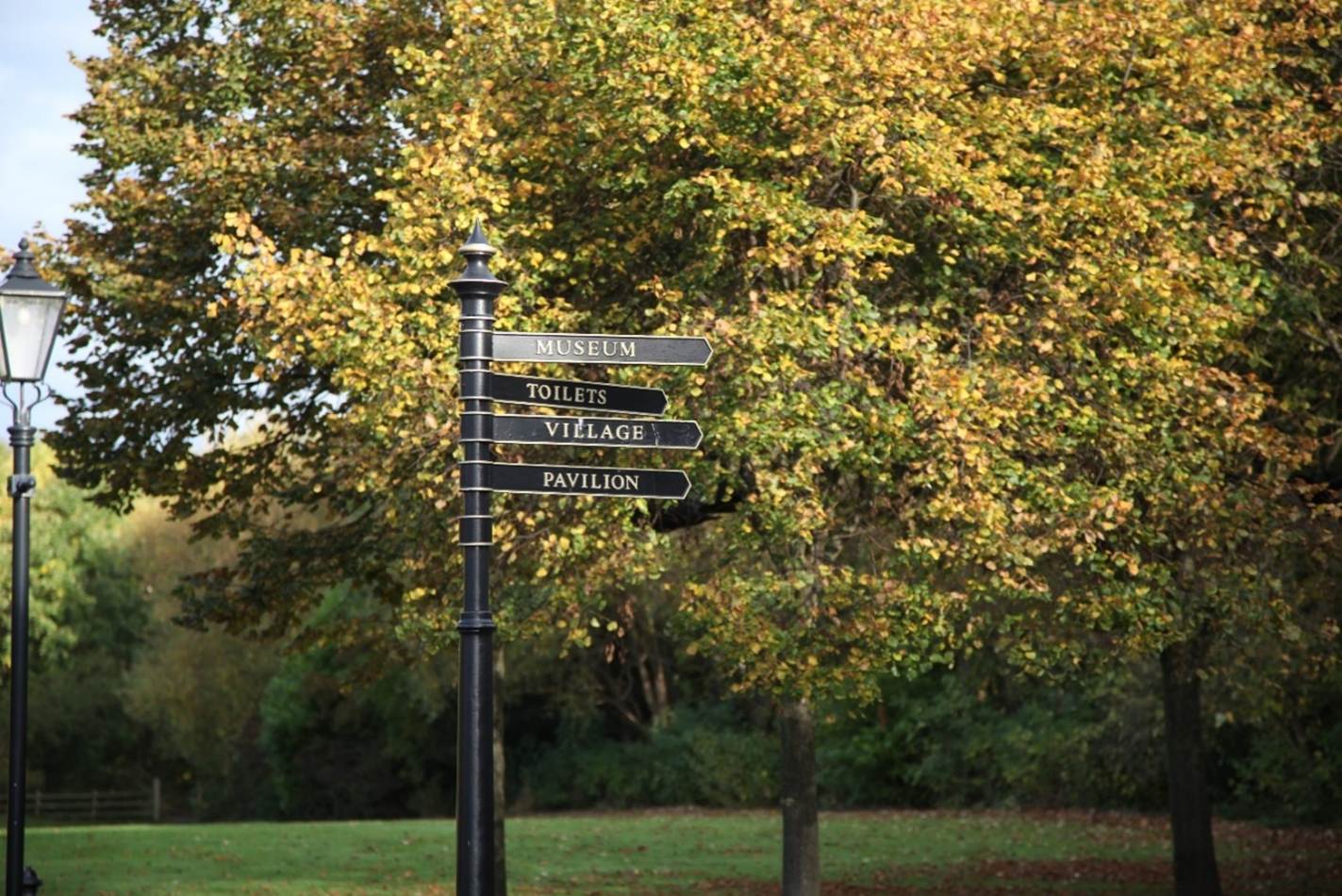
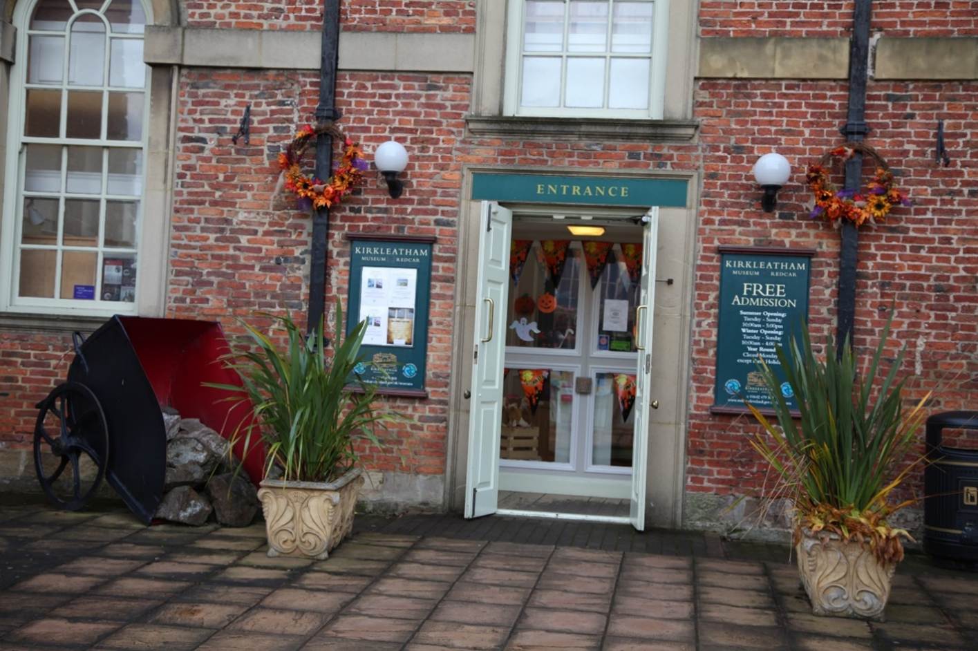
The name of the village comes from the old Norse kirk
(“church”) and hlíð (“slopes”), so it means "churchslopes.".
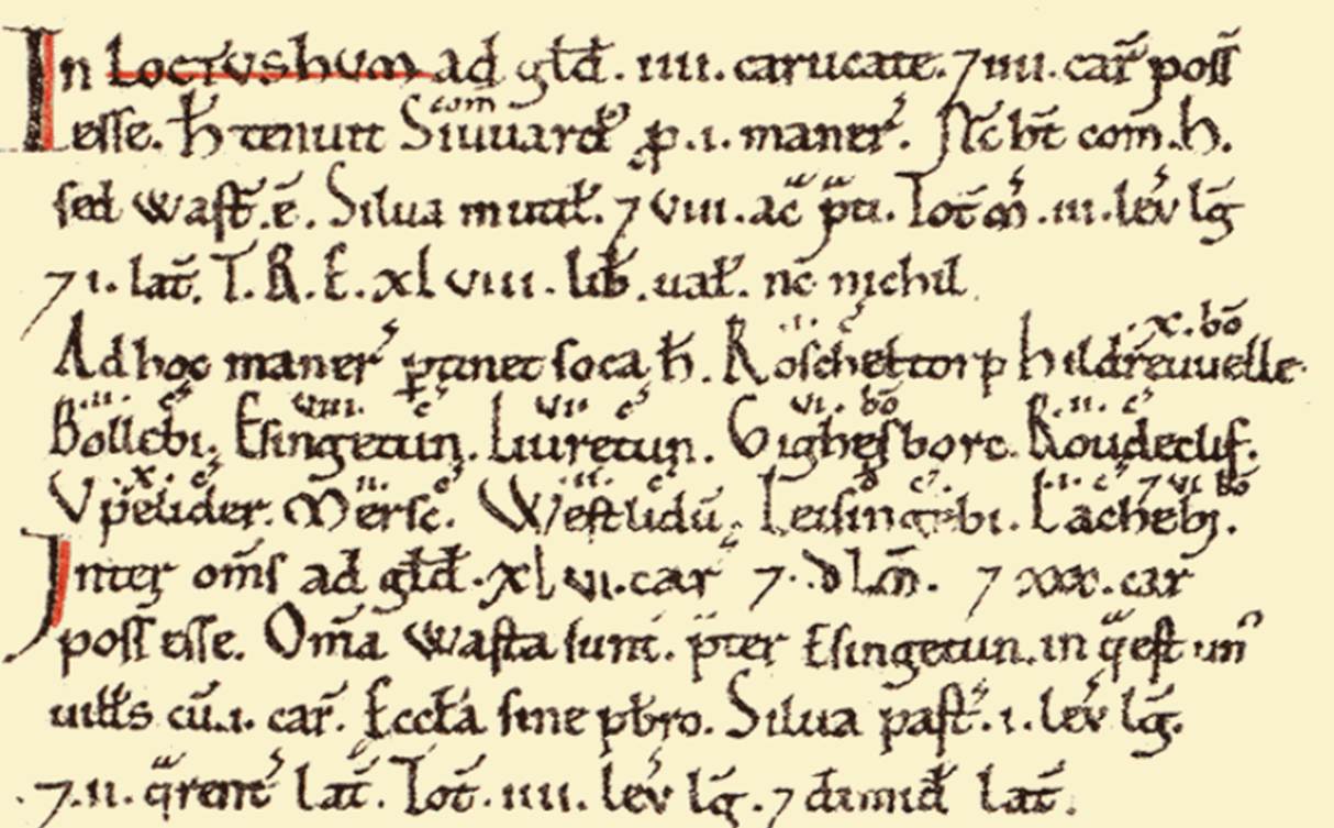
It was origibnally known as Lythum and Westlidum by the time of
the Domesday Book.
Kirkleatham Timeline
Ninth Century
It is thought there has been a church on the site
since the 9th century CE, as a location where the body of Saint Cuthbert rested
while carried monks before it was taken to Durham.
1070
It had apparently been laid to waste during The
Harrying of the North.
1086
The village is mentioned in the Domesday book
when there were 9. There were 4 landowners listed in Domesday Book:
·
1.5 ploughlands and meadow 4
acres; annual value to lord, 10s; from 1066, the land was owned by King William
(Lord, Leysing).
·
34 ploughlands, one villager
and one plough teams; meadow 8 acres; woodland 1 league by 2 furlongs; 1
church; annual value to lord £48 in 1066. The landlord in 1066 was Earl Siward
and from 1086 Earl Hugh (of Chester).
·
5 ploughlands and meadow 14
acres; with an anual value to lord of 16s in 1066; owned by Uhtred in 1066 and
Count Robert of Mortain by 1086.
·
Kirkleatham itself - 5
ploughlands and meadow of 14 acres (4 caracutes of which 2 caracutes were
arable); one freeman, 7 smallholders and one priest; with an annual value of
10s in 1066 but 5s 2d in 1086; owned by ‘northmann’ in 1066 and William of
Percy by 1096.
The Victoria County
History – Yorkshire, A History of the County of York North Riding: Volume 2
Parishes: Kirkleatham, 1923: In
1086 William de Percy had in Kirkleatham 4 carucates of land, a 'manor' held
previously by a certain Norman.
The northern magnates the Percy family held the
most of the land in Kirkleatham from 1086 to 1608.
It is quite clear that the
original Kilton fee included lands in Kirkleatham, for we have a charter, which
Dr. Farrer has dated between 1170-1185, in which Ilger de Kilton, one of the
earliest lords of the fee, is referred to as holding land in Kirkleatham.5 But
it has not yet been made altogether clear which lands in Kirkleatham these
were, nor of whom they were held.
In Domesday Book Kirkleatham,
or Westlidun as it is called, was divided between four overlords, of whom one
was the King.
The details are as follows:
(a) Royal land. — A manor
containing three carucates of land and four acres of meadow.
(b) Earl Hugh of Chester’s
Fee. — Two carucates as soke of North Loftus.
(c) The Count of Mortain s
Fee. — A manor containing nine carucates of land and fourteen acres of meadow.
(d) William de Percy’s Fee.—
A manor containing four carucates of land, a church, and six acres of meadow.
Dr. Farrer says: “ The
greater part of Kilton and Kirkleatham was held by Ilger de Kilton of the fee
of Brus, namely of that part of the fee of Brus which belonged at the Survey to
the fee of Mortain”
(The Origin and
Early History of the Kilton Fee, W
Hebditch, 1939, Yorkshire Archealogical Journal, Volume 34, page 302).
William Hornsby (The Domesday Valets of the Langbargh
Wapentake, Yorkshire Archaeological
Journal, Volume 25, 1920, page
334) suggested the Domesday Survey is assessed at the following rates:
· A demesne plough
at 2.5 times villains' plough.
· Villains usually
4d, bordars 2d, and sokeman 6d.
· Meadow at 2d an
acre.
· Other elements at
1s 4d.
Kirkleatham’s
assessment in Domesday Book was Now William has there 1 sokeman and 7
bordars with 1 plough, a priest and a church and 6 acres of meadow. Valet
5s 4d. (Open Domesday,
Anna Powell-Smith).
Wilton’s
assessment was Maldred has 1 plough
there and 8 villains and 10 boadars with 3 ploughs
and 6 acres of meadow. (Open Domesday,
Anna Powell-Smith).



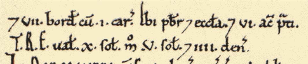
He therefore
suggested a breakdown of the rates paid for Kirkleatham of:
1 sokeman 6d;
7 bordars 1s 2d;
1 plough 1s 4d;
Church 1s 4d
6 acres meadow
1s;
Total 5s 4d.
And for Wilton:
1 demesne plough
6s 8d
8 villains 2s
8d;
10 bordars 1s
8d;
3 ploughs 8s;
6 acres of
meadow 1s;
Total 20s.
1129
When he founded Guisborough Priory in 1129 Robert de Brus granted to it
“the whole of Kirklleatham, that is to say, nine caractutes of land with that
part of Coatham which is adjacent to it …(The
Origin and Early History of the Kilton Fee,
W Hebditch, 1939, Yorkshire Archealogical Journal, Volume 34, page 302).
The Kilton property was undoubtedly held by the Brus fee, but the
Kikrkleatham lands would appear to have been held by the Percy family.
However the
early de Kiltons held the church of Kirkleatham. Between 1195 and 1206 it was
granted by William de Kiltonto the canons of Guisborough.
The “ Kirkleatham property ” thus consisted in all of six carucates of
land, six acres of meadow and the church — roughfy half of the vill.
1232
In 1232 the advowson of Kirkleatham parish was at
the centre of a dispute that saw local knight Sir Robert de Thweng who styled
himself "Will Wither" and take arms against Italian eccelsiatics
which saw him raid their properties and redistribute their wealth to the poor.
1559
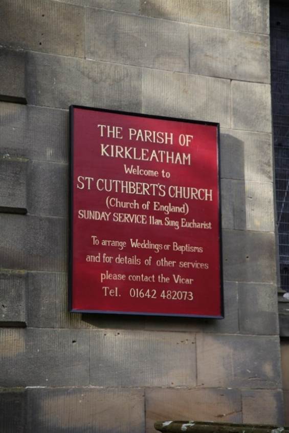
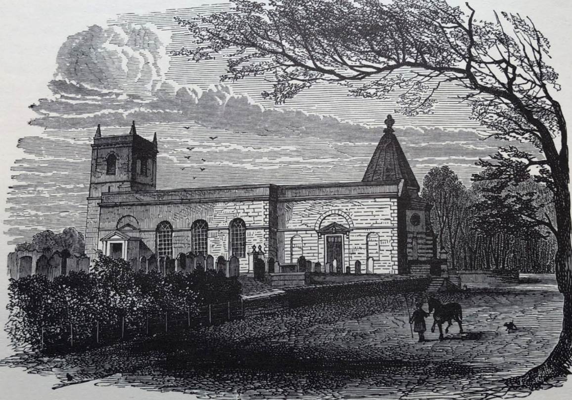
The parish church is named Saint Cuthberts from
the ninth century connection. There has been a church on the site since the
eleventh century. The parish records begin in 1559.
1564
It is probable that between 1564 and 1567, the Farndale family
moved to the Skelton area in Cleveland and first settled at Kirkleatham.
1572
Nicholas farndaile (FAR00059),
was buried at Kirkleatham on 6 Aug 1572.
1586
Agnes Farndale (FAR00060)
was buried at Kirkleatham on 23 January 1586
1605
1605, Michaelmas Term, 3 Jas 1, Christr
Nendyke gent and Walter Warde gent, quer: Wm Cornwaleys senr knt, def. Manor of Wilton in
Cleaveland and the park of Wilton and 20 messuages, lands and rent in Wilton in
Cleaveland, Lakynby, Lasenby, Wes Cowton and Pynchingthorpe (Yorkshire Fines for the Stuart Period, Volume 1 (1603 to 1614), Edited by William Brigg,
Yorkshire Archaeological Society Record Series,
volume 53, 1915, page 37 (Folio 44).
1617
1617, Easter Term, 15 Jas 1, John Turner quer: John Chapman, gent and Anne his wife, def, Messuage,
kiln and lands in Kirklethome and East Cotham (Yorkshire Fines for the
Stuart Period, Volume 2 (1614 to 1625),
Edited by William Brigg, Yorkshire Archaeological Society Record Series, volume
58, 1917, page 78 (Folio 79)).
1618
1618, Michaelmas Term, 16 Jas 1, John Turner quer: Thos Turner, gent and Anne his wife, def. Lands in Kirkelethome. Warranty against John Pearson and Margery, his
wife and against heirs of Henry Gowland decd, and
against the King, his heirs and successors.
(Yorkshire Fines for the Stuart Period, Volume 2 (1614 to 1625), Edited by William Brigg, Yorkshire
Archaeological Society Record Series, volume
58, 1917, page 115 (Folio 116)).
1624
1623 to 1624, Hilary Term, 21 Jas 1, John
Turner, gent, quer: Wm Bellassis knt and Magt his wife and Thos Swinborne esq
and Margt his wife, def. Manors of Kirkeletham alias Kirkletholme, Cottam alias
Cotem alias Cotham and 6 messuages, 7 cottages, lands, rent, view of frank
pledge and free warren there and the Rectory of Kirkletham and tithes there and
in Ureby, Wilton, Lakenbye and Lazxenby. Warranty against heirs of Rich
Bellassis decd uncle of said Wm and against heirs of Brian Bellassis decd,
fasther of said Wm. (Yorkshire
Fines for the Stuart Period, Volume 2 (1614 to 1625),
Edited by William Brigg, Yorkshire Archaeological Society Record Series, volume
58, 1917, page 233 (Folio 234)).
Kirkleatham was acquired by the Turner family
around 1624, or perhaps by 1617 – see above.
1669
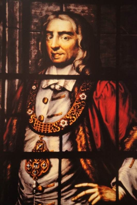
Kirkleatham is the birthplace of Sir William
Turner who was Lord Mayor of London in 1669.
1676
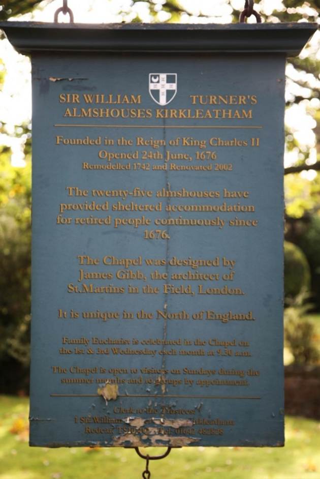
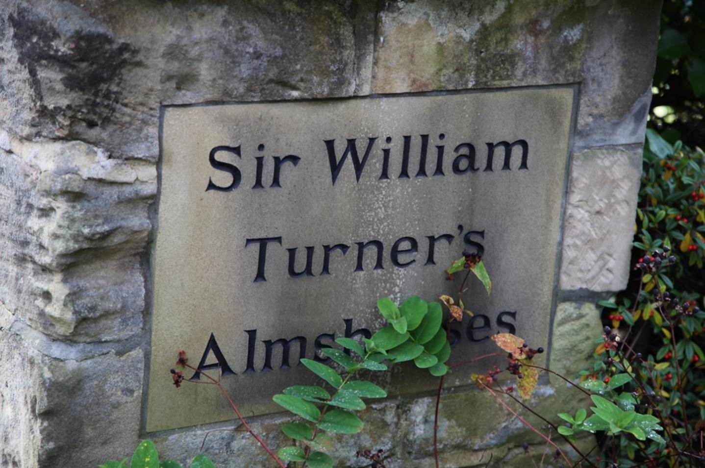
Sir William Turner gave most of his fortune to
found the Sir William Turner's Hospital in June 1676, which today is an
independent almshouse. The Victoria
County History – Yorkshire, A History of the County of York North Riding:
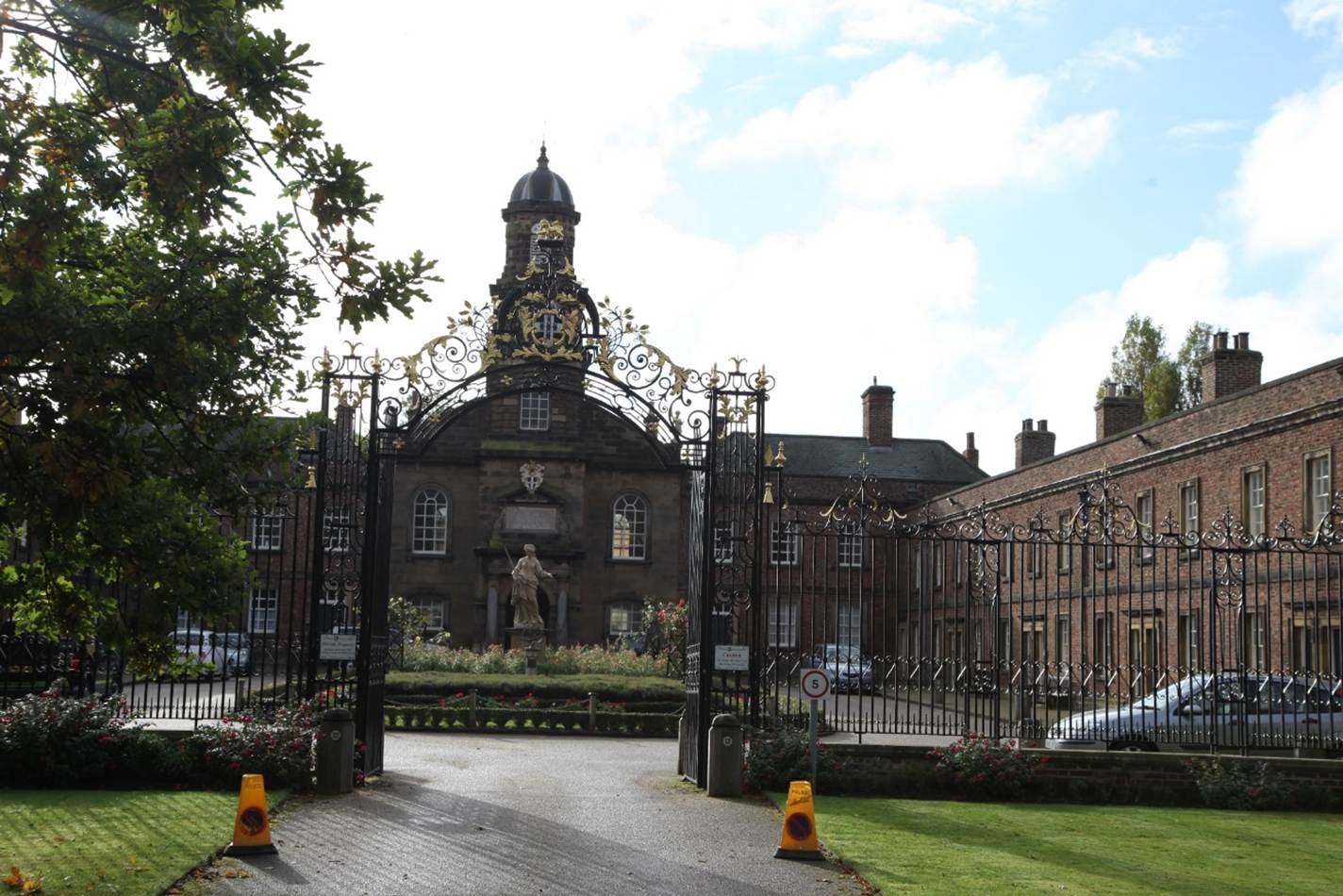
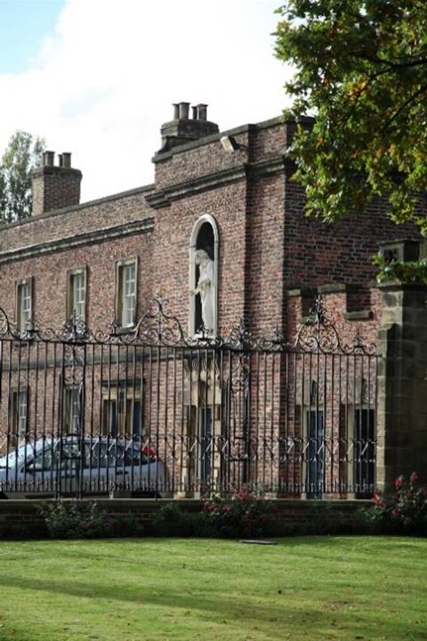
Volume 2 Parishes: Kirkleatham, 1923: On the other side of the road
is Turner's Hospital, built and endowed by Sir William Turner in 1676, but
entirely remodelled and enlarged in 1742 by his great-nephew Cholmley Turner.
The buildings are erected on three sides of a rectangular courtyard measuring
about 55 yards from north to south by about 30 yards in width, and open at the
north end to the road. The buildings are of brick, with slated hipped roofs
behind straight parapets with the exception of the chapel, which is faced with
stone, and which occupies the middle of the south end of the quadrangle. The
boys' school and the master's house are on the west of the chapel and the
girls' school on the east, and the lower stories of the long line of buildings
on either side of the courtyard are occupied by the women on the east and the
men on the west. The north end is inclosed by a tall iron grille with gates in
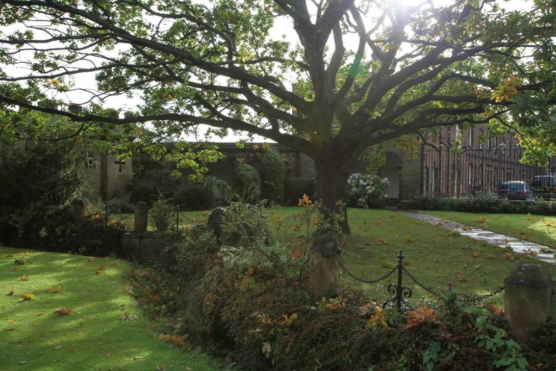
the centre, all of admirable design, between which and the road is a kind of
semicircular grassed forecourt with brick retaining wall toward the road
surmounted by stone posts and chains and dwarf entrance piers. The whole
lay-out as seen from the highway, with two old trees in the forecourt, is
exceedingly picturesque.
1709
Turner bequeathed a substantial amount of money
to his great nephew, Cholmley Turner, later a member of parliament for
Yorkshire between 1727 and 1741, to establish a Free School, built in 1709,
that now houses the local museum. His estate established for the care of 40
people: ten old men, ten old women, ten boys, and ten girls. The office of
governor or governess falls upon the owner of the estate. Management of the
estate was the responsibility of a chaplain, a master, and a mistress.
1739
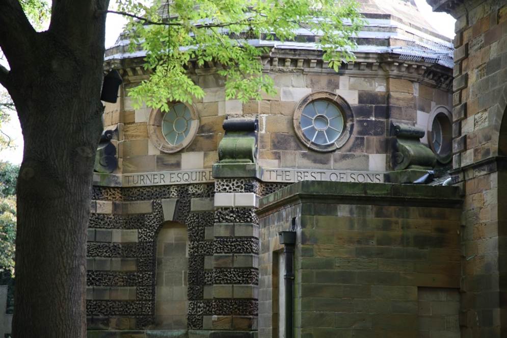
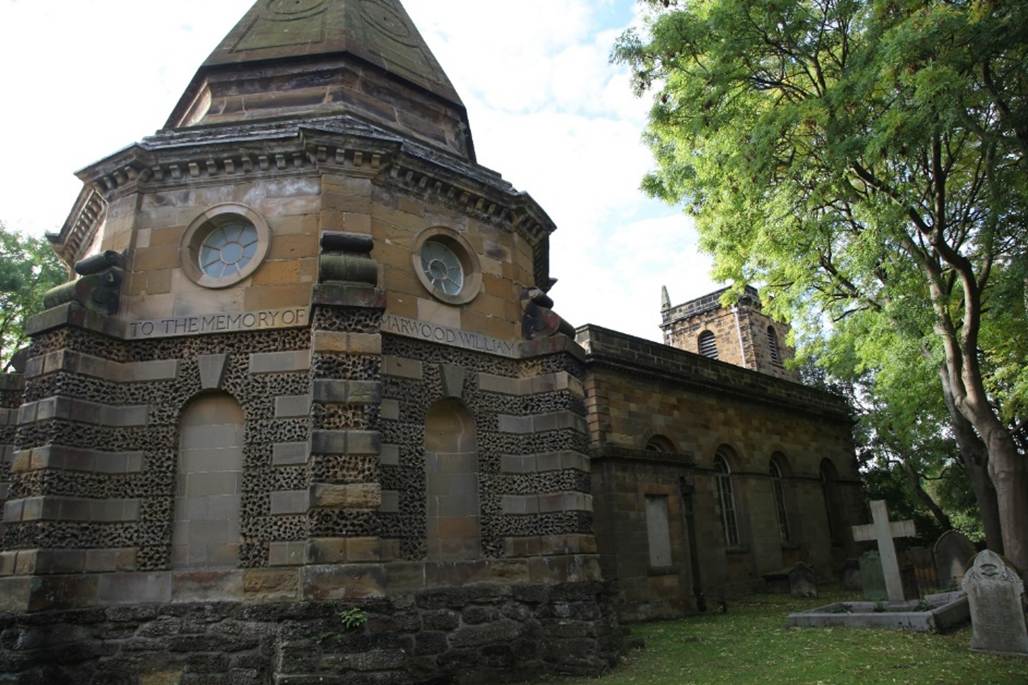
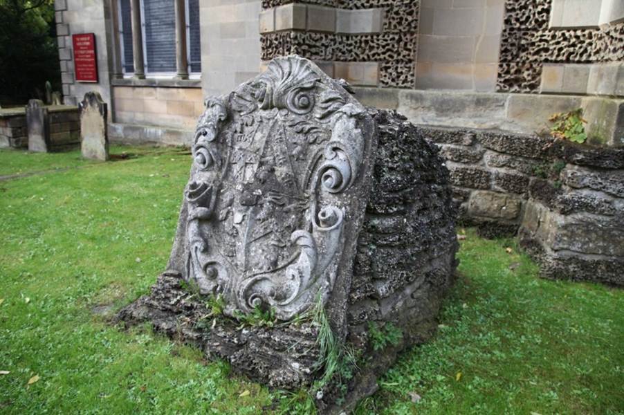
Cholmley Turner added other Grade I listed
buildings, the most notable being the Turner Mausoleum, in memory of his son,
and adjoining the Church of St Cuthbert. It is a Grade I listed building on
Kirkleatham Lane. The mausoleum was built in 1739–40 by James Gibbs, and
restored with added internal cladding in 1839. Entered from the church, it is
of Baroque style and of an octagonal plan with south and south-west sides that
adjoin the church. It is a single storey with a basement burial chamber. The
exterior is heavily rusticated, with an unusually large area vermiculated. It
contains the inscription, "This mausoleum was erected 1740 to the
memory of Marwood William Turner Esquire the best of sons."
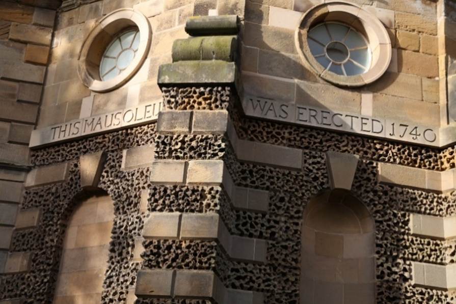
Cholmley Turner also retained the architect James
Gibbs for building of the chapel at the almshouses.
1768
Cholmley Turner's nephew Sir Charles Turner, 1st
Baronet, of Kirkleatham, MP for York from 1768 to 1783, continued building upon
the estate. His achievement included remodelling Kirkleatham Hall, as well as
providing for the further development of the hospital, school, and a library.
He also built the adjoining village of Yearby.
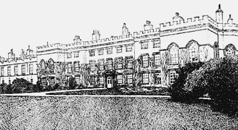
Kirkleatham Hall about 1923
1771
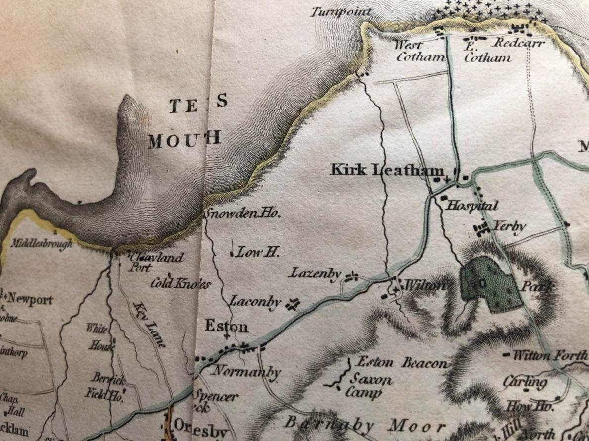
Kirkleatham in Jeffrey’s map of 1771
1773
George Farndale (FAR00156) was
witness to a marriage in Kirkleatham.
1831
1854
John Farndale (FAR00305) was a farm worker at Kirkleatham.
1857
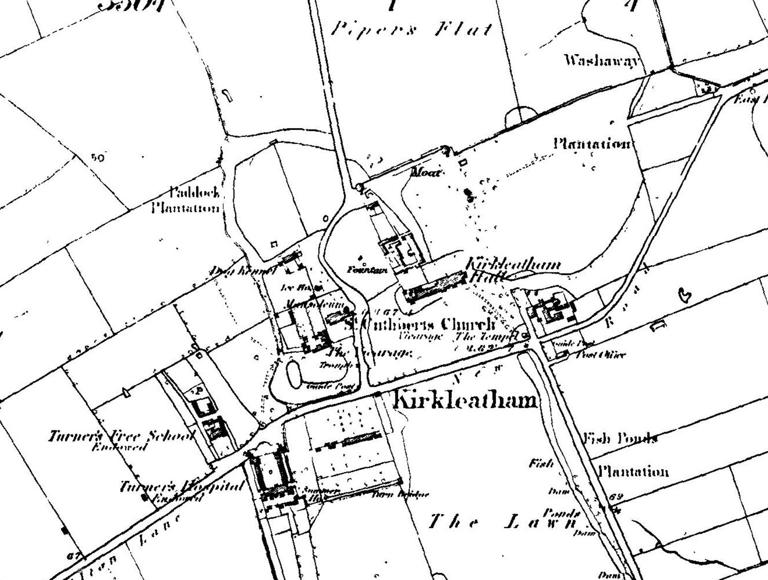
1894
In 1894 Kirkleatham became an urban district.
1899
Kirkleatham was annexed into Redcar in 1899,
after just five years as an independent authority.
1918
In 1918, Kirkleatham was the location of a
mooring-out station (a secondary base) for airships protecting the east coast
based out of RNAS Howden. The site was only used during the latter half of 1918
and was closed permanently after the Armistice
1923
The Victoria County
History – Yorkshire, A History of the County of York North Riding: Volume 2
Parishes: Kirkleatham, 1923: Kirkleatham
village lies 2½ miles south of Redcar station at the junction of the road
running north north-east from Stockton to Marske and Kirkleatham Lane which
leads north to East Coatham. The church is situated at the south-west corner of
the lane and immediately opposite is Kirkleatham Hall, which was probably built
by John Turner soon after 1623; it was originally an H-shaped house of two
stories, the principal front facing north, with curved gables and a cupola or
bell-turret over the middle wing. Knyff's drawing, c. 1708, shows additions of
short wings at either end, east and west. The building was, however, almost
entirely remodelled by Charles Turner who is said to have employed as his
architect Carr of York. Externally the building has now lost all traces of its
original appearance, having been rebuilt and enlarged in a pseudo-Gothic style
with the principal front towards the south.
Bibliography