Kilton Tithe Map 1844
|
Return to the Home Page of the Farndale Family
Website |
The story of one family’s journey through two
thousand years of British History |
The 83 family lines into which the family is divided.
Meet the whole family and how the wider family is related |
Members of the historical family ordered by date of
birth |
Links to other pages with historical research and
related material |
The story of the Bakers of Highfields, the Chapmans,
and other related families |
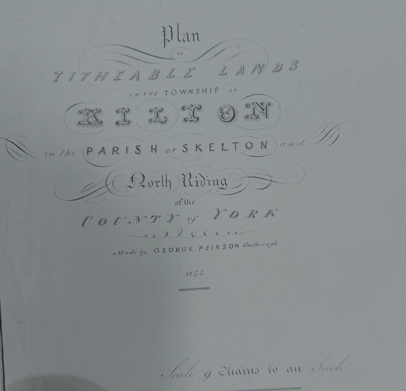
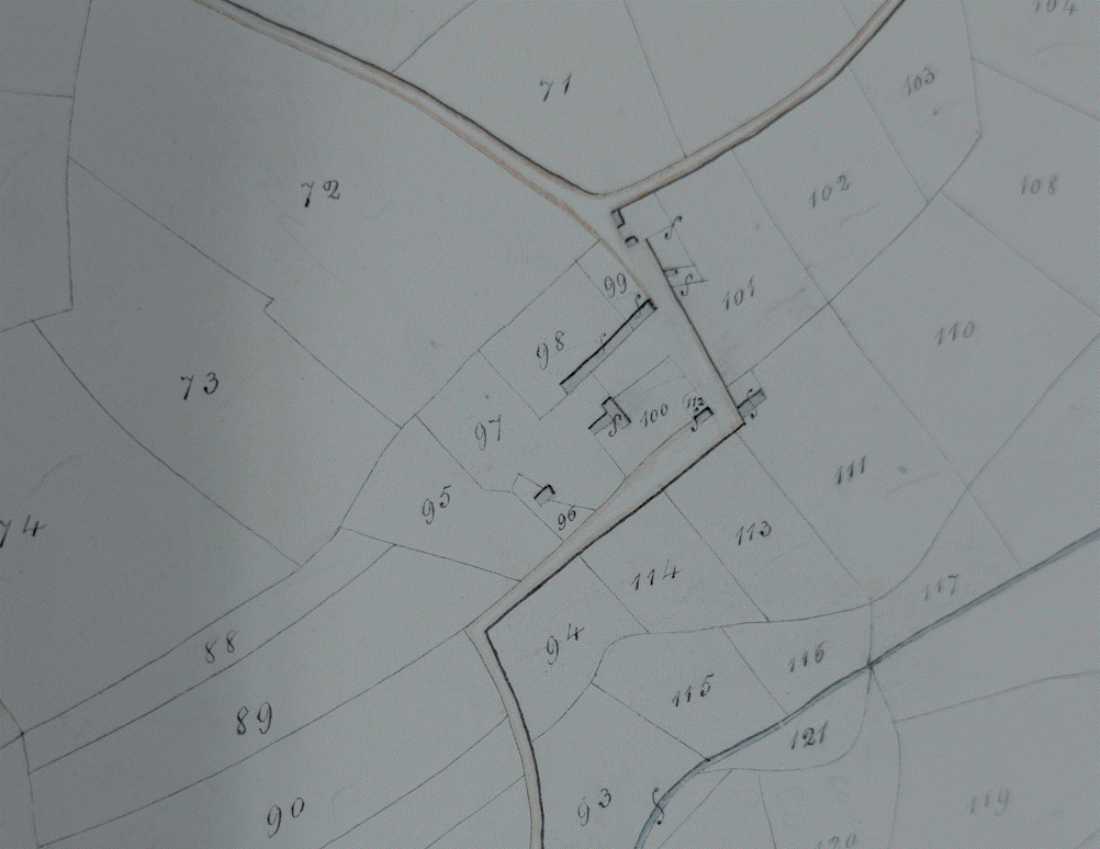
The 1844 tithe
map and census revealed a sparse population of around 80-90 residents,
primarily engaged in farming (Tithe Map & apportionment
for Kilton, The National Archives Reference PR/BRP/9/1, held at Teesside
Archives).
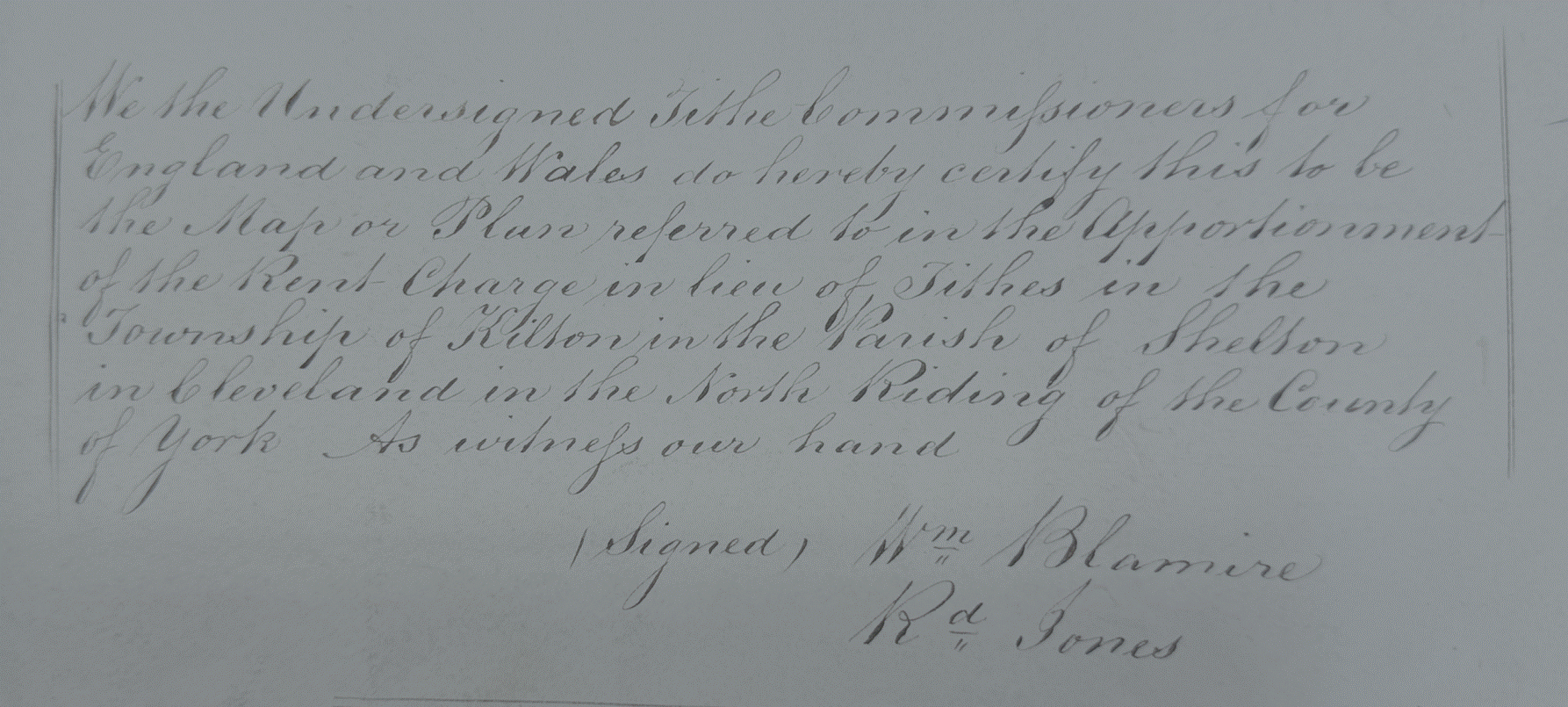
We the
Undersigned Tithe Commissioners for England and Wales do hereby certify this to
be the Map or Plan referred to in the Apportionment of the Rent‑Charge in lieu of Tithes in the Township of Kilton in the Parish
of Skelton in Cleveland in the North Riding of the County of York As witness our hand
Wm Blamire
Rd Jones
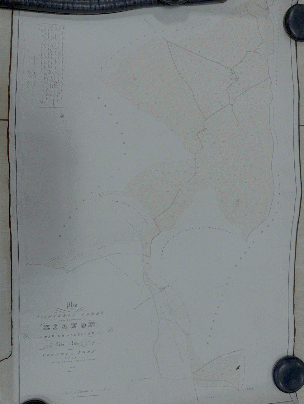
The
Map
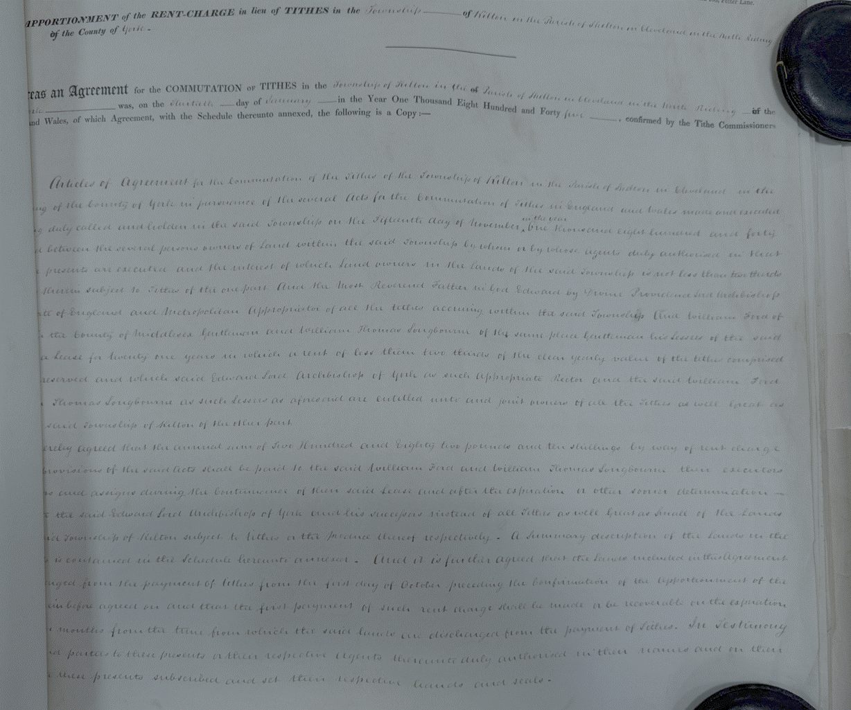
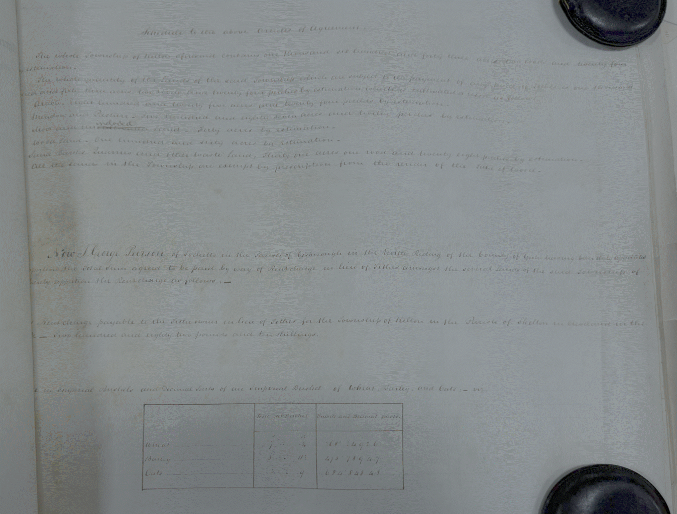
Whereas an
Agreement for the COMMUTATION of TITHES in the Township of Kilton in the Parish
of Skelton in Cleveland, in the Division in the North Riding of the County of
York, was on the thirtieth day of January in the Year One Thousand Eight
Hundred and Forty five, confirmed by the Tithe Commissioners for England and
Wales, of which Agreement, with the Schedule thereunto annexed, the following
is a Copy.
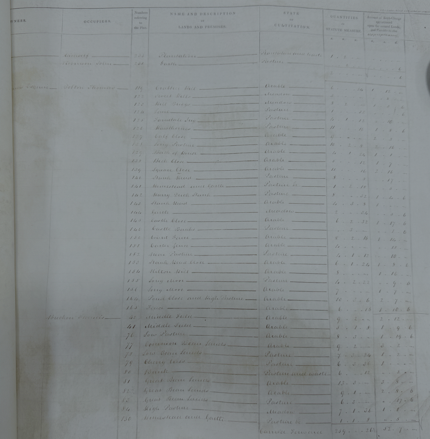
The first tenant
farmers were Thomas Bolton, Francis Breckon, Robinson Cook, Mary Davidson and
Henry Andrew and George Farndale (see FAR00215)
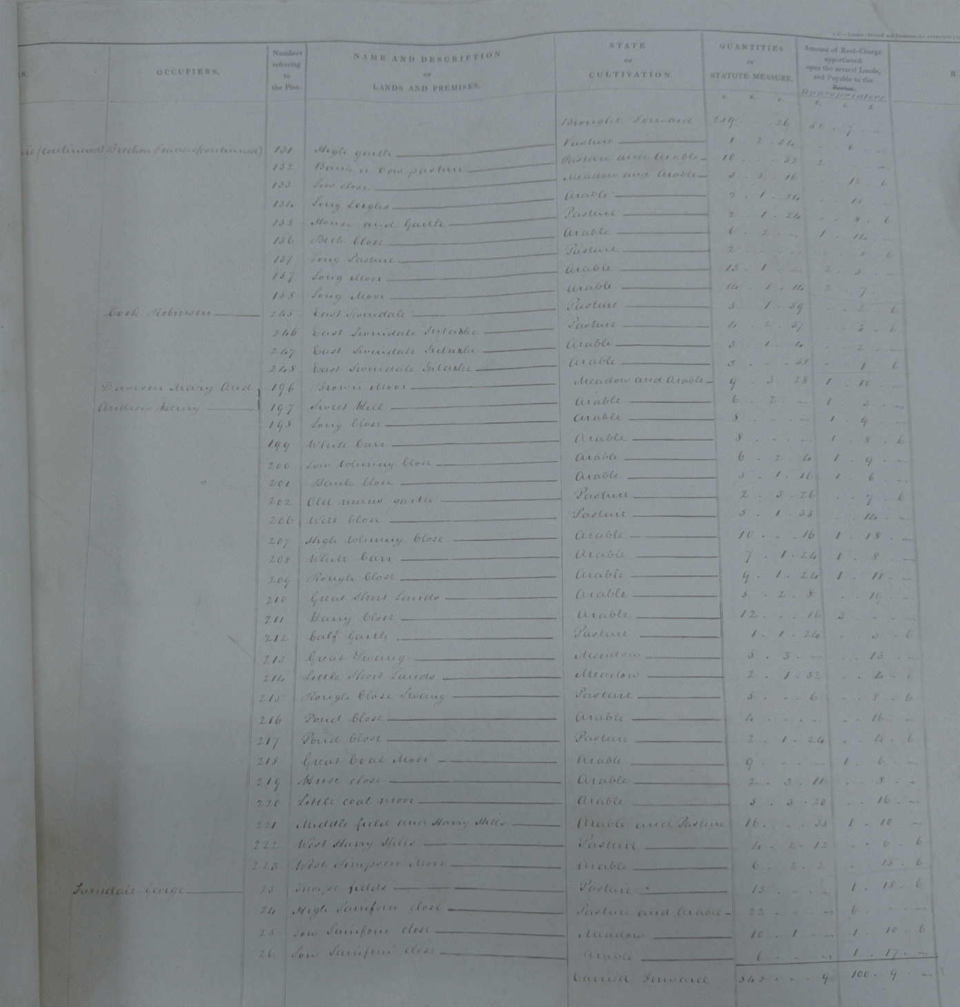
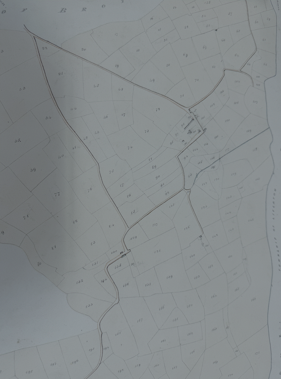
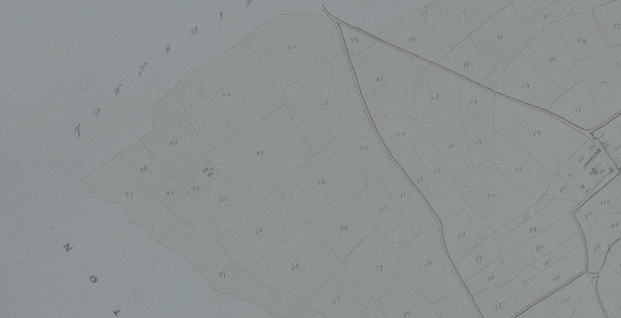
The tithe map
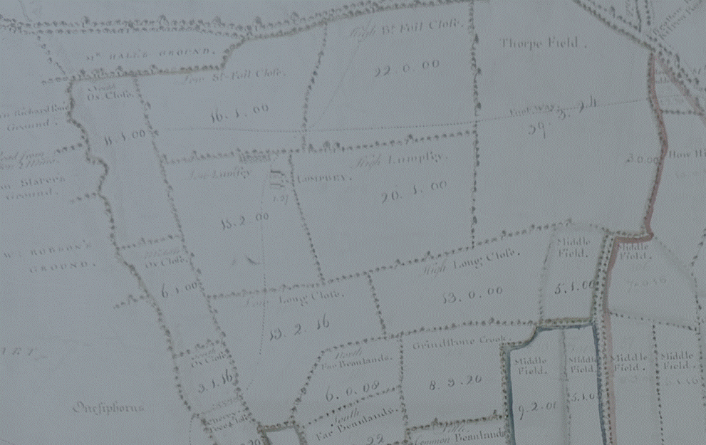
shows the location of fields 23 to 39 where George Farndale was farming, to the
northwest of Kilton near Lumpsey and the much earlier
1767 Estate Map shows this area in more detail:
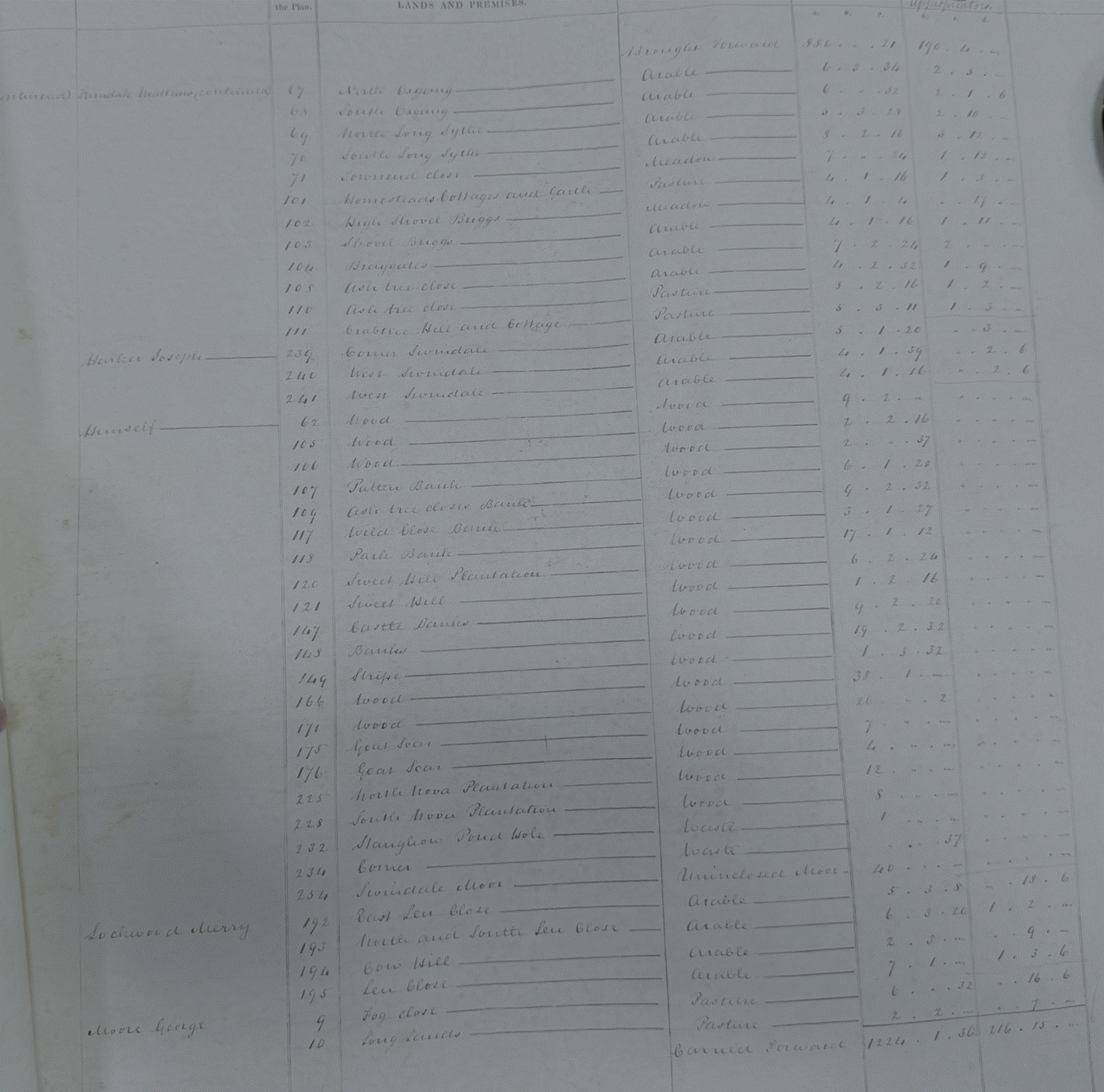
The second listed
tenant farmers were George Farndale (continued, see FAR00215), Martin
Farndale (see FAR00236),
Matthew Farndale (see FAR00225),
Jospeh Harker, ‘himself’, Merry Lockward, George Moore.
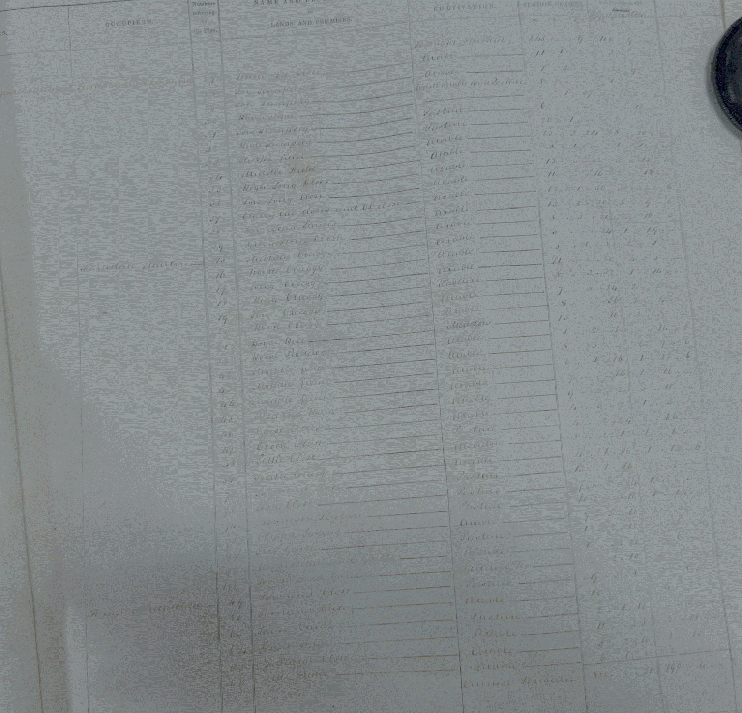
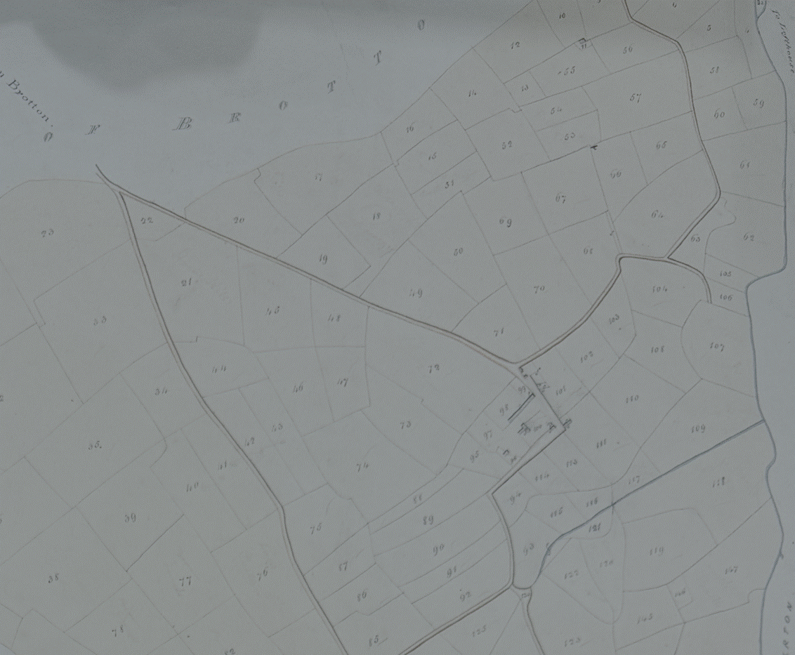
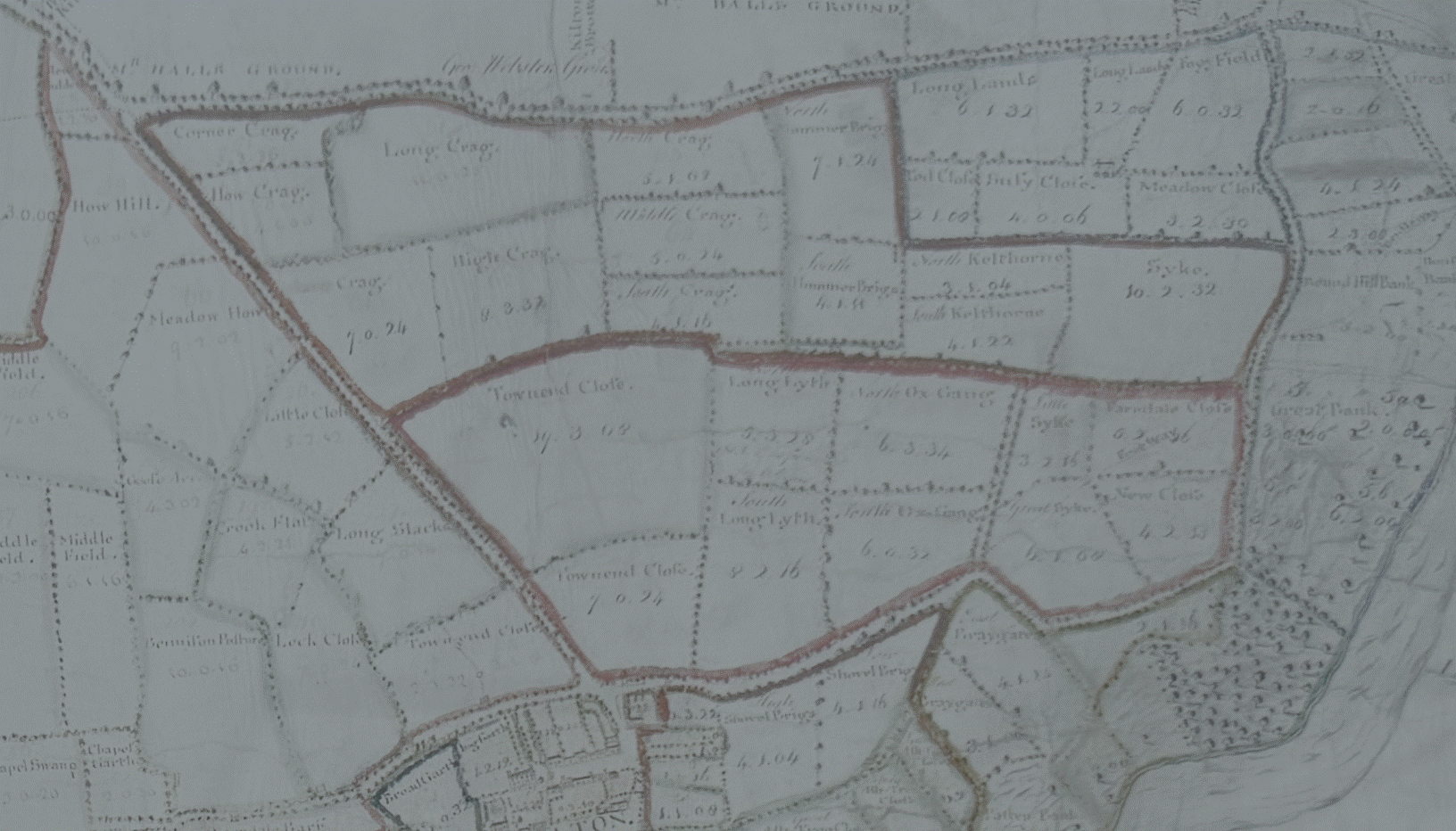
The Tithe Map shows
the location of fields leased to Matthew and Martin Farndale and the much
earlier 1767 Estate Map shows this area in more detail:
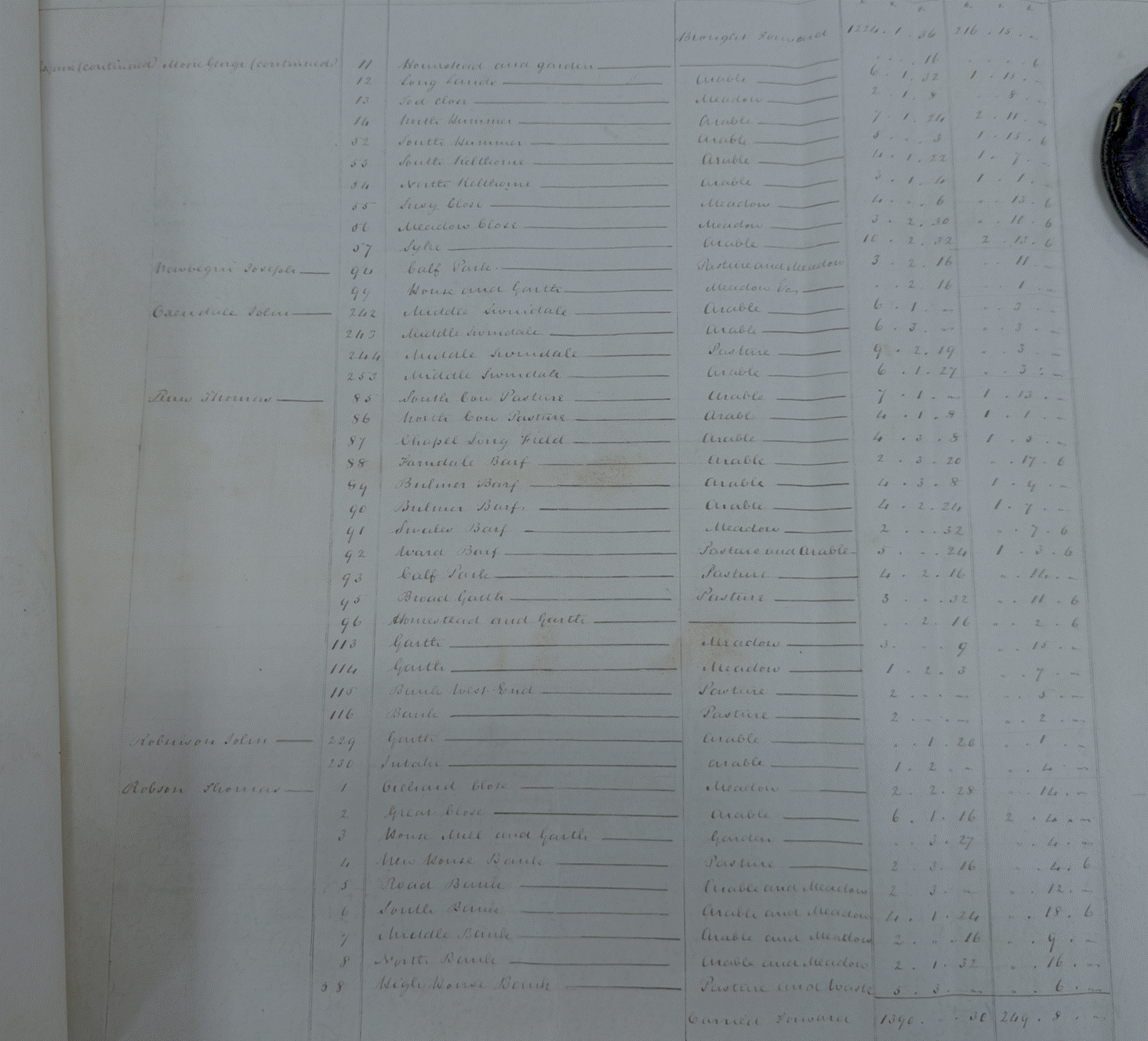
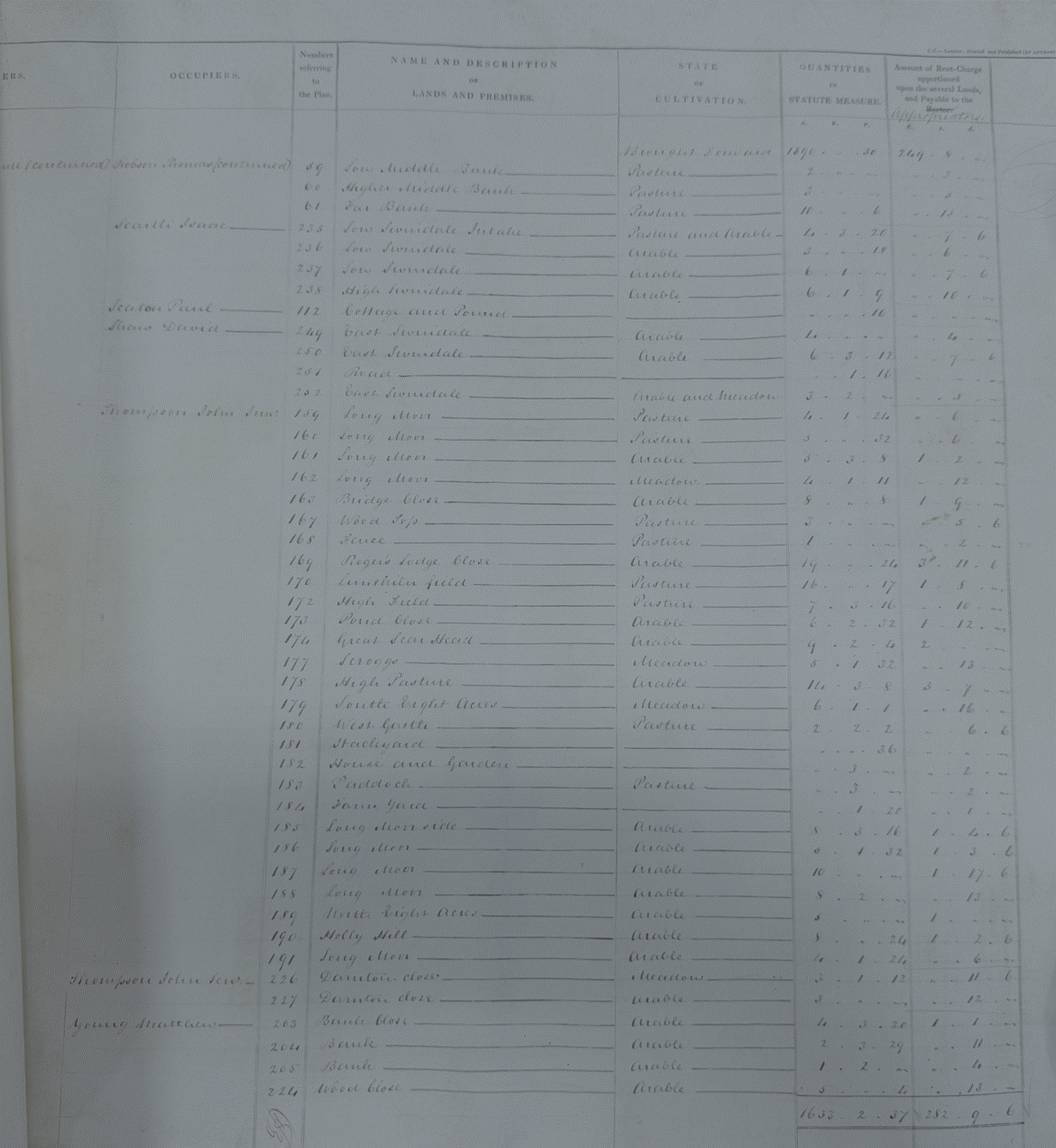
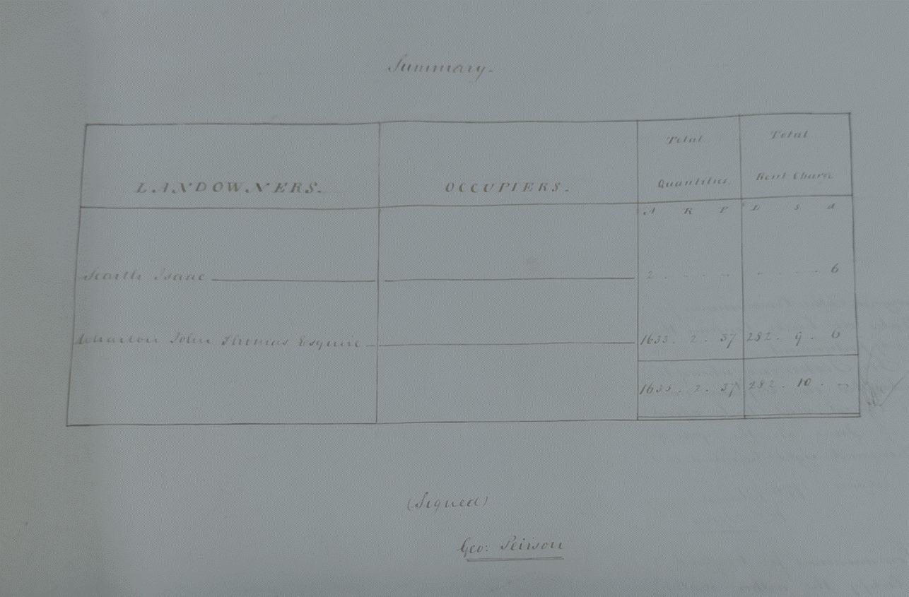
The third listed
tenant farmers were George Moore (continued), Joseph Newbegin, John Oxendale,
Francis Raw, John Robinson, Thomas Robson, Isaac Searth, Paul Seaton, David
Shaw, John Thomspon, Matthew Young
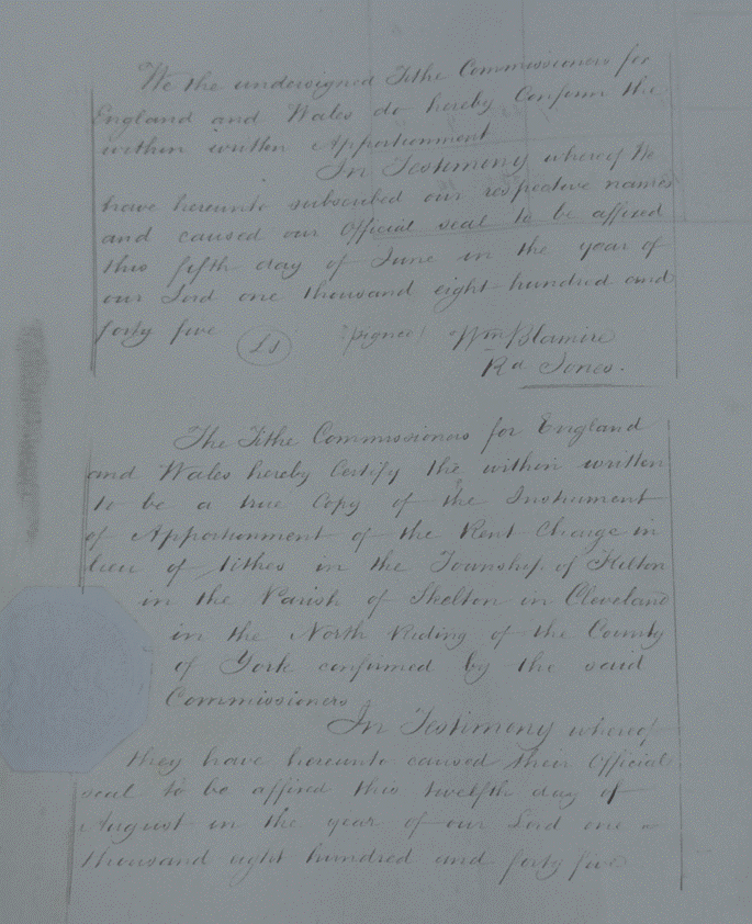
We the
undersigned Tithe Commissioners for England and Wales do hereby Confirm the
within written Apportionment.
In Testimony
whereof We have hereunto subscribed our respective names and caused our
official seal to be affixed this fifth day of June in the year of our Lord one
thousand eight hundred and forty five.
Wm Blamire
Rd Jones
The Tithe
Commissioners for England and Wales hereby Certify the within written to be a
true Copy of the Instrument of Apportionment of the Rent Charge in lieu of
Tithes in the Township of Skelton in the Parish of Skelton in Cleveland in the
North Riding of the County of York confirmed by the said Commissioners.
In Testimony
whereof they have hereunto caused their official seal to be affixed this
twelfth day of August in the year of our Lord one thousand eight hundred and forty five.
The
Tithe Map of 1845 shows the estate village in decay and it is obvious that the
re-organised landscape was not being sustained. The Lodge had disappeared as had
the building at the earthworks at Stank House and two of the farms within the
western arm of the township. The township was reverting to an intensity of
settlement very similar to that evidenced in the medieval period. The Tithe Map
also provides a picture of land use, showing which settlements were farming
which areas of land. Land use in 1845 was predominatly arable, but there seems
to have been more pasture than at the height of medieval cultivation. The information
about the land farmed from each unit is useful in confirming those areas which
fell within the remit of Greenhills, Buck Rush and Stank House. Those defined
in 1845 were probably little different from the medieval. The same would apply
to Lumpsey, if it is indeed a medieval farmnstead. Kilton and Kiltoin Thorpe
are more problematical, their combined areas may be the same as the medieval
but the boundary between the two runs along the post-medieval road from Brotton
to Kilton Thorpe. (Robert Daniels. 1990. Kilton: A Survey of Moorland
Fringe Township in Medieval Rural Settlement in North
East England. Architectural and Archaeological Society of Durham and
Northumberland Research Report No 2, edited by B E Vyner, page 55).