Lumpsey and Lumpsey Mine, Kilton
|
Return to the Home Page of the Farndale Family
Website |
The story of one family’s journey through two
thousand years of British History |
The 83 family lines into which the family is divided.
Meet the whole family and how the wider family is related |
Members of the historical family ordered by date of
birth |
Links to other pages with historical research and
related material |
The story of the Bakers of Highfields, the Chapmans,
and other related families |


Dates are in red.
Hyperlinks to
other pages are in dark
blue.
Headlines are in brown.
References and citations
are in turquoise.
Contextual
history is in purple.
There is extensive ridge and furrow work in the area of Lumpsey, which suggests medieval agriculture. (Robert Daniels. 1990. Kilton: A Survey of Moorland Fringe Township in Medieval Rural Settlement in North East England. Architectural and Archaeological Society of Durham and Northumberland Research Report No 2, edited by B E Vyner, page 36).
The estate plan
of 1767 shows a farmhouse and a range of buildings at Lumpsey, as does the
tithe map.
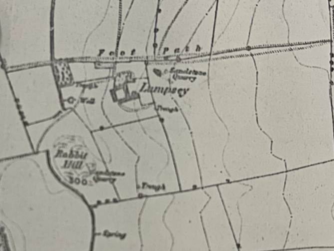
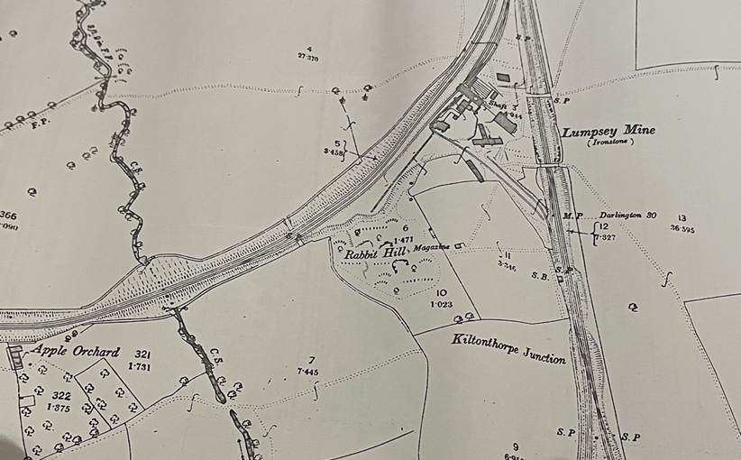
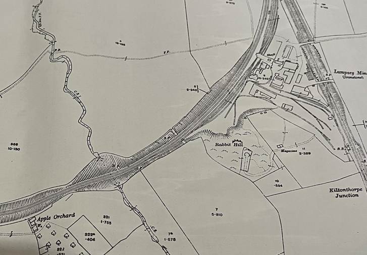
Lumpsey,
1853
Lumpsey Mines by 1893
Lumpsey
Mines in 1913
By 1856 this had
developed into a courtyard farm.
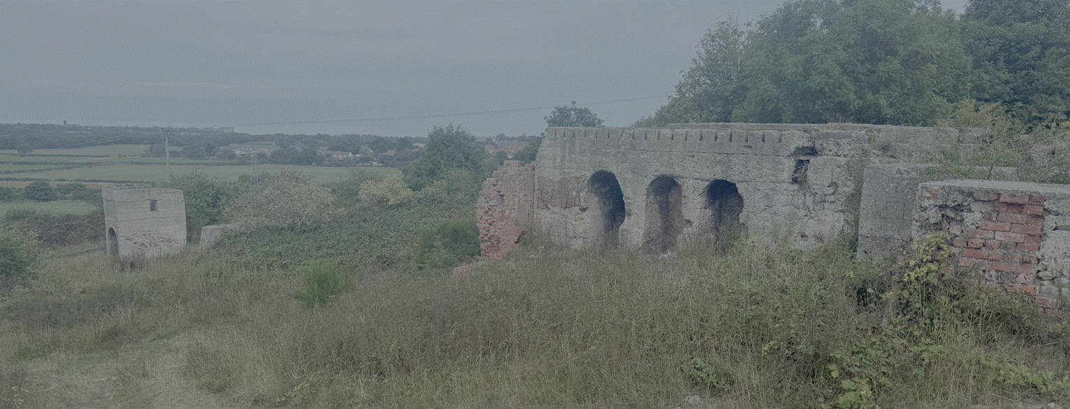
The Lumpsey mine
was opened in 1881 as the ironstone companies followed the veins south and east
from the Eston hills. The mine occupied the former site of Lumpsey farm and
consequently no traces were left of the farm. The mine closed in 1954 but a number of the mine
buildings still survive. The establishment of an ironstone mine in this area in the
late nineteenth century led to the destruction of the farm and no buildings
survive (Robert Daniels.
1990. Kilton: A Survey of Moorland Fringe Township in Medieval Rural
Settlement in North East England. Architectural
and Archaeological Society of Durham and Northumberland Research Report No 2,
edited by B E Vyner, page 55).
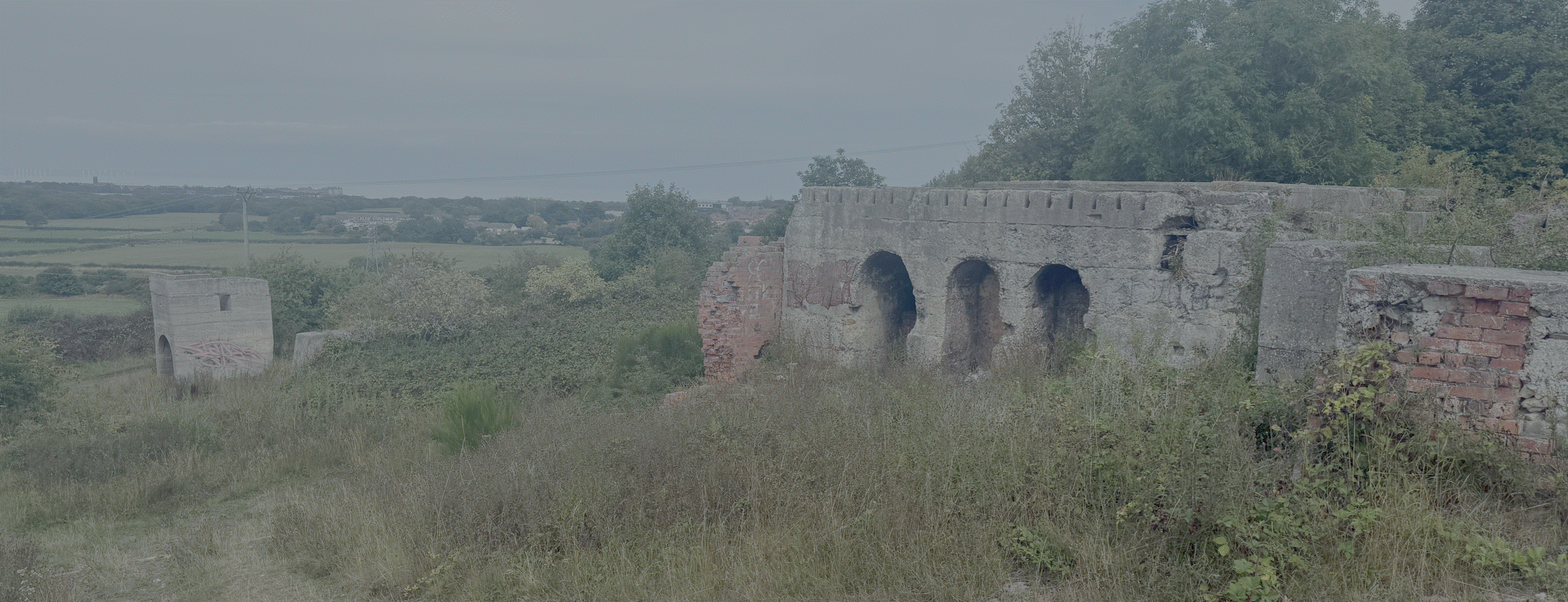
The
remains of the mine in 2026
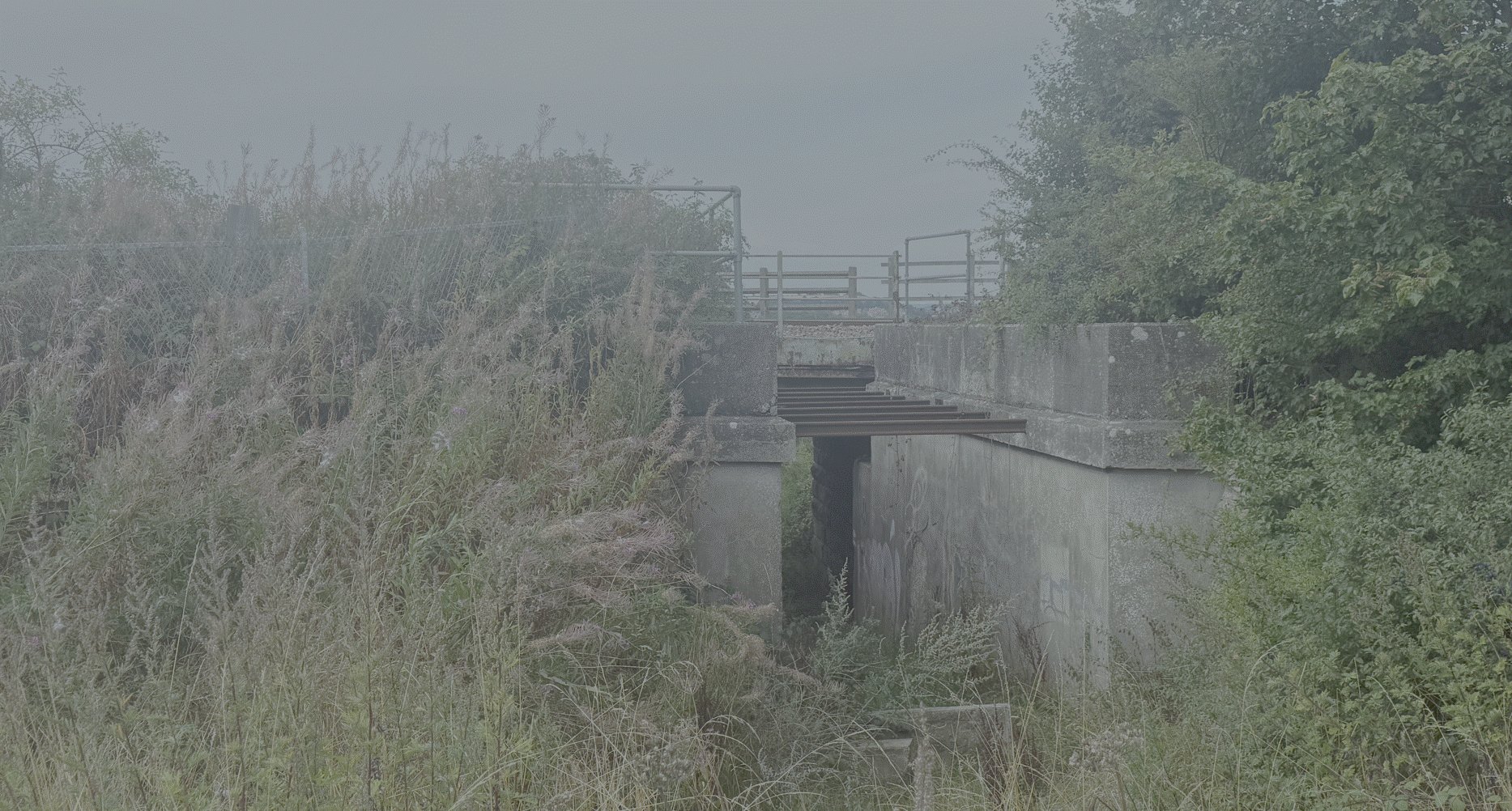
The
Railway Junction