The first historical reference to
Farndale
Rievaulx
Cartulary, 1154
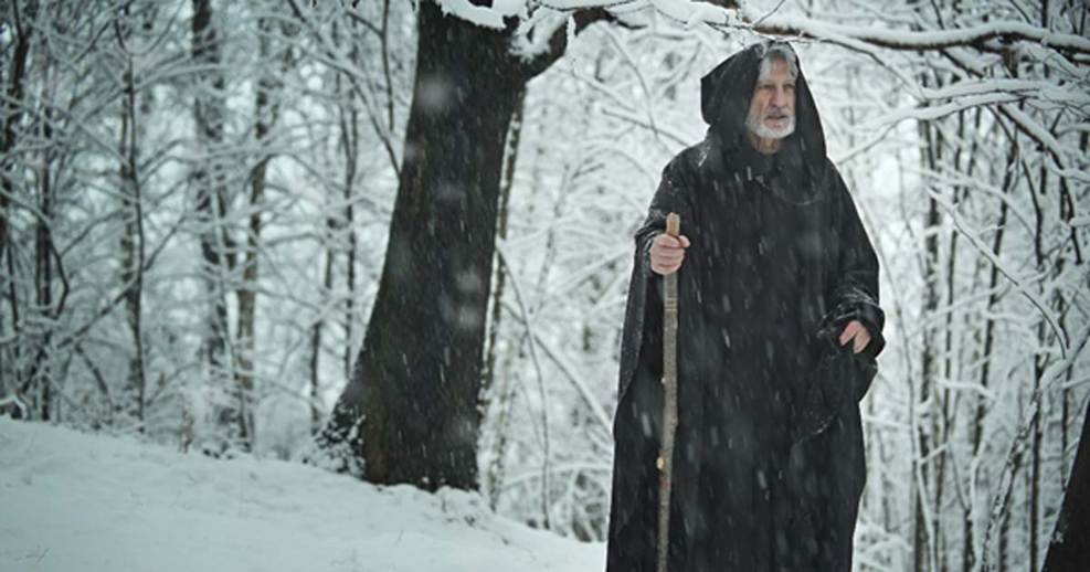
Farndale, where Edmund
the Hermit used to dwell
FAR00002
|
Return to the Home
Page of the Farndale Family Website |
The story of one
family s journey through two thousand years of British History |
The 83 family lines
into which the family is divided. Meet the whole family and how the wider
family is related |
Members of the
historical family ordered by date of birth |
Links to other pages
with historical research and related material |
The story of the
Bakers of Highfields, the Chapmans, and other related families |
Dates are in red.
Hyperlinks to other pages are in dark blue.
Headlines are in brown.
References and citations are in turquoise.
Context and local history are in purple.
Half a millennium
after Lastingham
was founded, Farndale was little changed, still a wilderness, but now a place
of monastic isolation, where a hermit called Edmund made his home. That was
about to change.
The First reference to
Farndale in the Rievaulx Chartulary
The name Farndale
first appeared in the written record in the Rievaulx Cartulary, which recorded
a gift by the Mowbrays
made in 1154. A cartulary was a register of lands and rights kept by the great
noble houses and by monasteries.
1098
A new monastic
order had been founded at Citeaux, near Dijon, in 1098, a rejection of a
perceived Benedictine relaxation of the more austere standards set by the
desert fathers, the early Christian hermits of Roman Egypt from whom monastic
communities evolved.
By the early
twelfth century, under the direction of the Burgundian Bernard, the new order
was engaged in international expansion.
1131
In 1131 Walter
Espec, a burly military figure of Hemsley Castle, founded a new Cistercian
Abbey at a tranquil location on the banks of the Rye, which river gave its name
to Rie vaulx, a corruption of the French valle.
c 1135
The grant by
Roger de Mowbray of 1154 when the name Farndale was first mentioned in the
historical record (see below) was preceded by an earlier grant, of unknown date
but during Roger s minority, by his mother Gundreda
on his behalf, of land which included land at Middelhoved,
on the northern heights of Farndale, adjacent to an ancient route over the
moors known as Thurkilesti, a route across the moors into Cleveland
(Cartularium Abbathiae de Rievalle
reproduced by the Surtees Society Publication Volume 83, 1889, page
30 to 32). Roger s minority was from 1129 to 1138 and
Rievaulx was founded in 1131, so this must have
been in the early years following the foundation of the abbey.
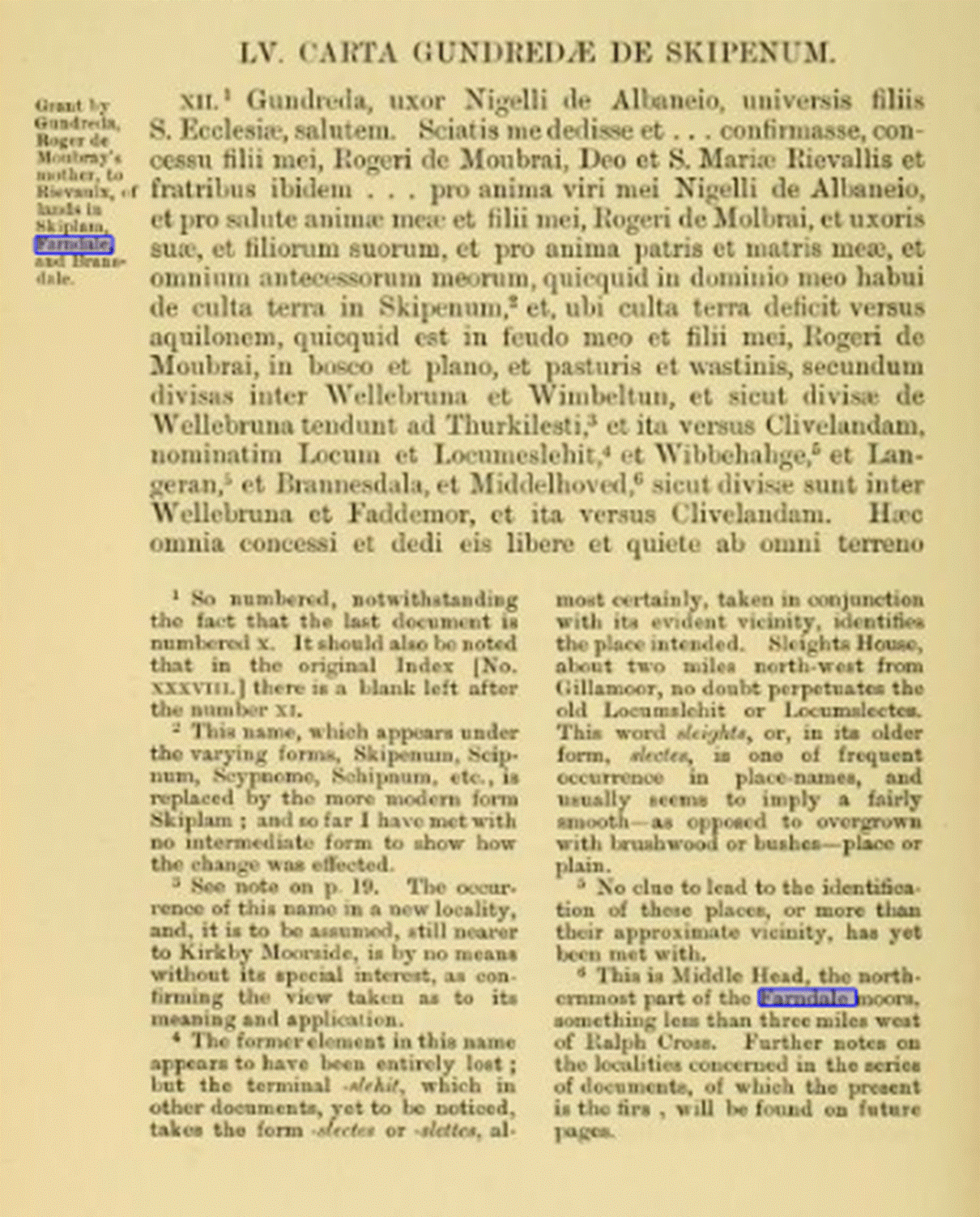
Gundreda, wife of Nigel de Albaneius, greetings to all the sons of St. Ecclesiff. Know that I have given and confirmed, with the
consent of my son, Rogeri de Moubrai,
God and St. Marise Rievallis and the brothers there. . . for the soul of my
husband Nigel de Albaneius, and for the safety of the soul of my son, Roger de
Molbrai, and of his wife, and of their children, and for the soul of my father
and mother, and of all my ancestors, whatever I had in my possession of
cultivated land in Skipenum, and, where the
cultivated land falls towards the north, whatever is in my fief and that of my
son, Roger de Moubrai, in the forest and the plain, and the pastures and the wastins, according to the divisions between Wellebruna and Wimbeltun, and as
divided from Wellebruna they tend to Thurkilesti, and so towards Cliveland, namely Locum and Locumeslehit,
and Wibbehahge and Langeran,
and Brannesdala, and Middelhoved,
as they are divided between Wellebruna and Faddemor, and so towards Cliveland.
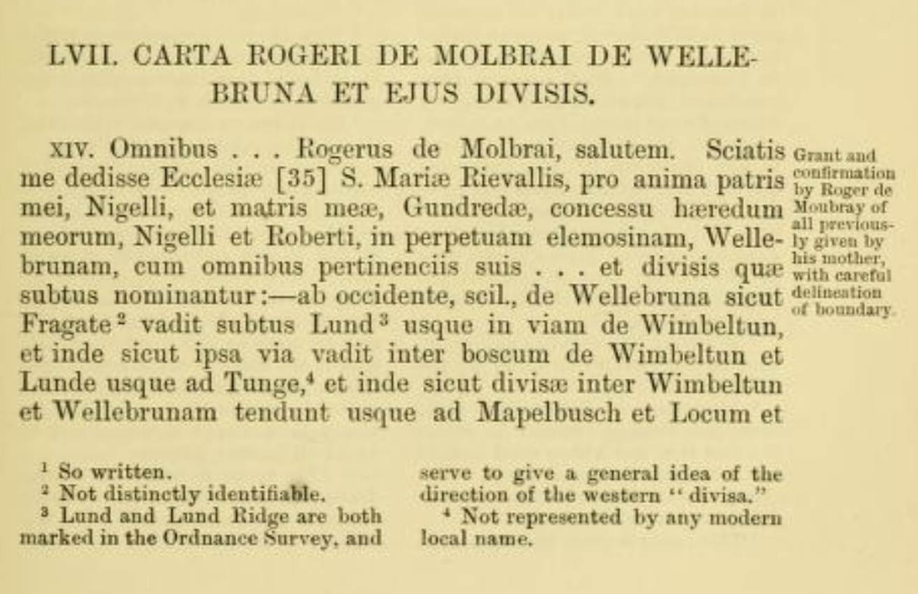
To all . . . Rogerus de Molbray,
greeting. You may know that I have given to the Church of St. Mary of
Rievallis, for the soul of my father, Nigel, and my mother, Gundreda, the grant
of my heirs, Nigel and Roberti, in perpetual alms, with all its appurtenances .
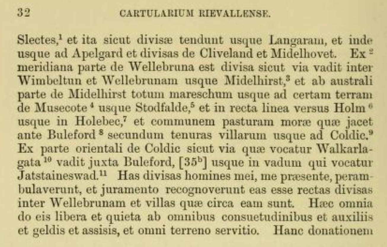
. . and the divisions which are called below are: from the west, that is,
from Wellebruna and so as they are divided they
stretch as far as Langaran, and thence as far as Apelgard and divided from Cliveland
and Middelhovet
1147
In 1147 the
charismatic Aelred became abbot.
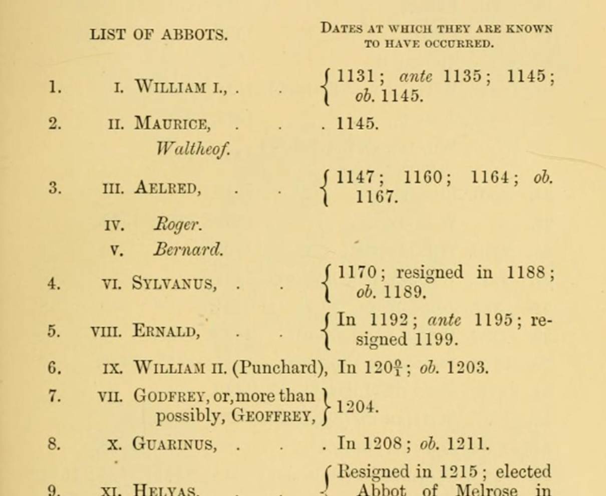
(Cartularium Abbathiae de Rievalle
reproduced by the Surtees Society Publication Volume 83, 1889)
He later wrote of
the peace, everywhere serenity, and marvellous freedom from the tumult of
the world, where our food is scanty, our garments rough, our drink is
from the stream and our sleep is often upon our books (Aelred of Rievaulx, Mirror
of Charity). Yet the influence of a seemingly isolated community at
Rievaulx would soon stretch across Ryedale.
1154
The name Farndale
first appeared in the
Rievaulx Cartulary in 1154.
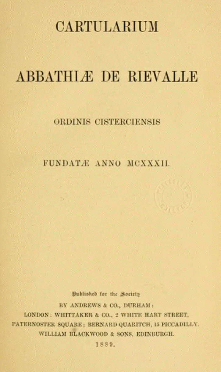
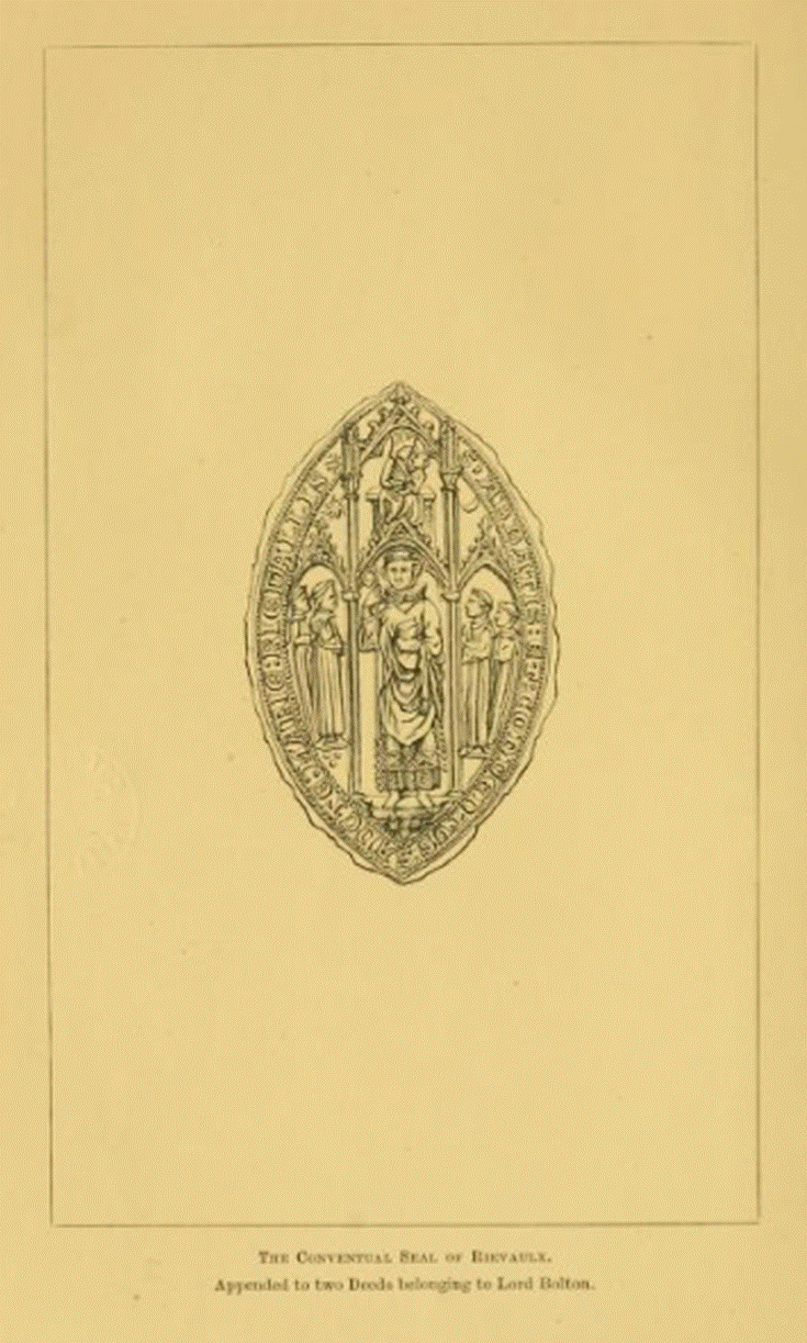
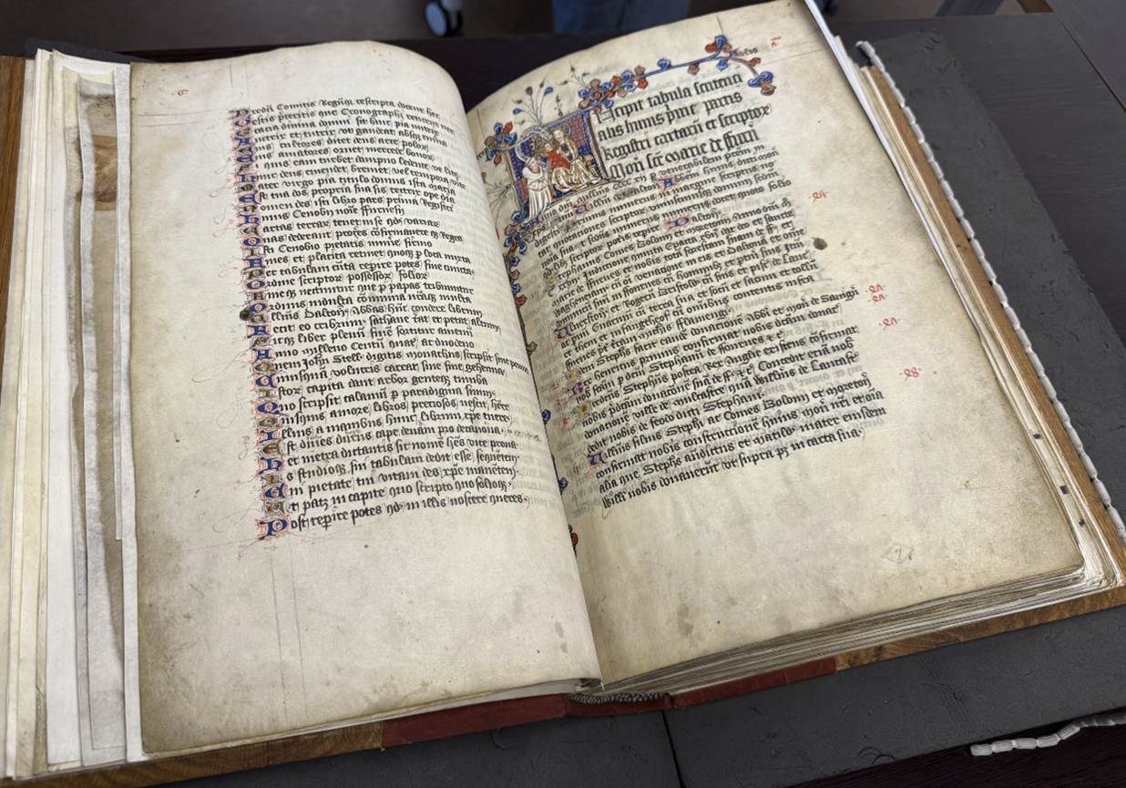
The Cartulary of
Furness Abbey, c 1412
The Farndale grant
In
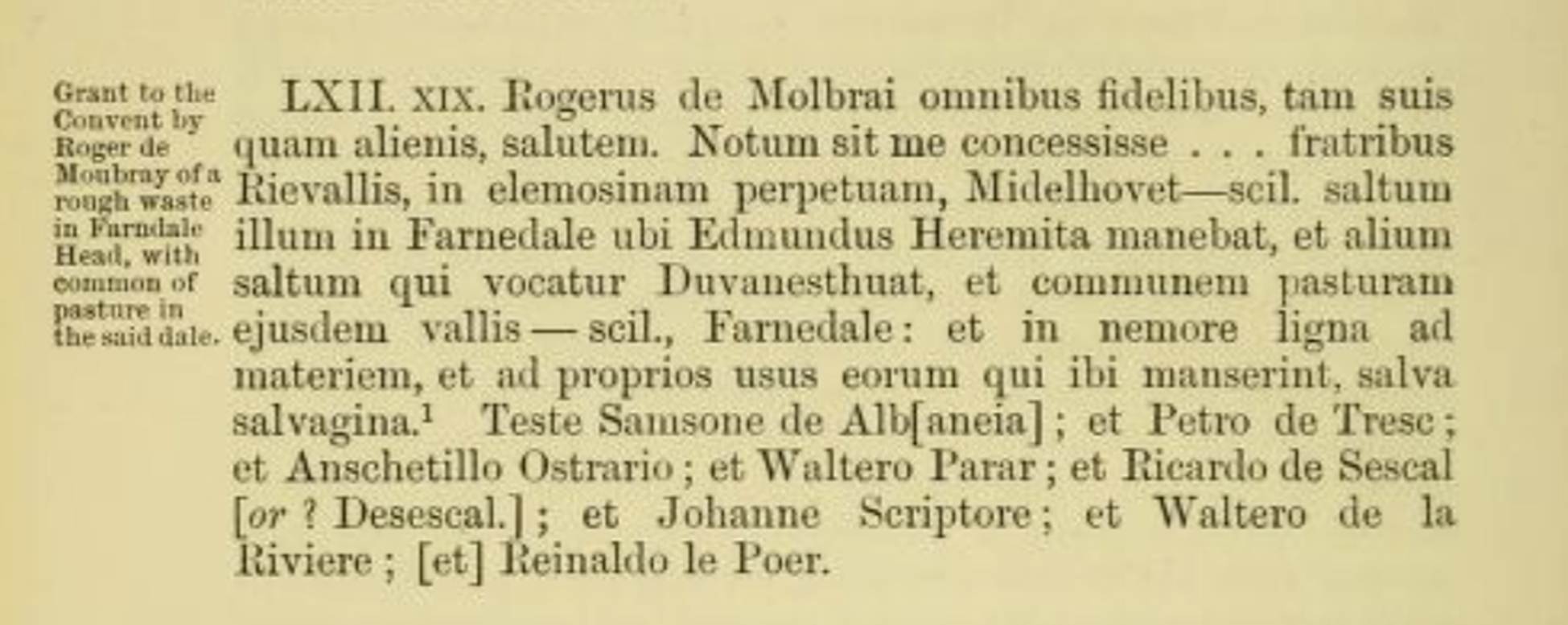
1154 Roger de Mowbray bestowed upon the new Cistercian monastery of Rievaulx, Midelhovet,
that clearing (or meadow or forest) in Farndale where the hermit Edmund used to
dwell; and another clearing which is called Duvanesthuat and
common of pasture in the same valley of Farndale (Cartularium Abbathiae de Rievalle reproduced by the Surtees Society Publication Volume
83, 1889, page 36).
The full text reads: Roger de Molbrai
to all the faithful, both his own and others, alms. Let it be known that I have
granted . . . to the brothers of Rievallis, in perpetual alms, Midelhovet
that is, that forest in Farnedale where Edmund the
Hermit dwelt, and another forest which is called Duvanesthuat,
and the common pasture of the same valley that is, Farnedale
: and in the wood timber for material, and for the proper uses of those who
shall dwell there, save the wild. Witness Samson de Alb[aneia]
; and Peter de Tresc ; and Anschetill
Ostrario ; and Walter Parr ; and Eichard
de Sescal [or ? Desescal.]
; and John Scribe ; and Walter de la Eiviere ; [and] Einald le Poer.
This was part of
a significant gift to Rievaulx.
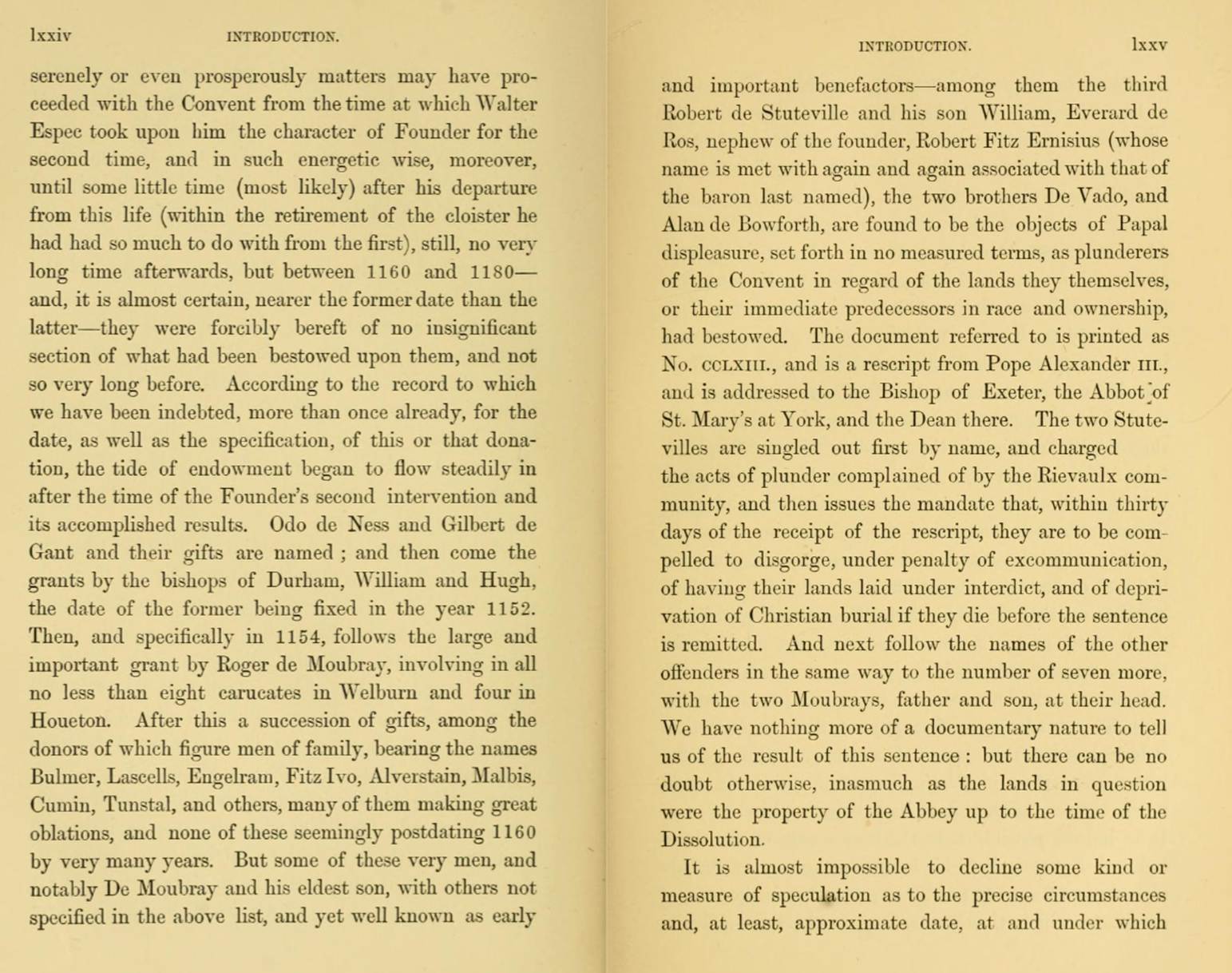
in 1154 follows the large and important grant by Roger de Moubray, involving
in all no less than eight caracutes in Welburn, and four in Houeton (Cartularium Abbathiae de Rievalle
reproduced by the Surtees Society Publication Volume 83, 1889, page lxxiv).
Houeton is probably a reference to Hutton le Hole.
Midelhovet was, no doubt,
the craggy heights above the northern end of Farndale known as Middle Head
today. Raymond Hayes suggested that hovet is
probably a corruption of hafod, a Celtic name
for a summer dwelling or sheepfold, also an Old Norse word hafod
or head. (Raymond Hayes, Farndale, 1961, unpublished, page 13).
It may therefore have been a place of temporary seasonal farming by the Celtic
period.
'Midelhovet' or
Middle Heads, a farm-house inhabited until the 1920's but now a ruin, is still
a wild, lonely spot sheltering under a beetling crag at the head of the dale. A
place more suitable for the popular conception of a hermit could hardly be imagined. (Notes on the History of Farndale in the Middle Ages, Arthur H Whitaker, Ryedale Historian, Volume 1,
1965, page 8)
Duvanesthuat has been
interpreted as the area where the fallen Duffin Stone (grid 646987 on the west
side of High Farndale) lies today, along the West Daleside
Road. This is the analysis of Raymond Hayes and Arthur Whitaker. It was
originally identified by Smith as
Douthwaite, but Raymond Hayes and others don t believe that Douthwaite ever
belonged to Rievaulx and for that reason associated it with Duffin stone (see
for instance A History
of Helmsley Rievaulx and District,
editor, J McDonnell, 1963 page 426). I am not so sure and tend to prefer its original
association with Douthwaite, which although later associated more with St
Mary s York, may have been part of an early grant to Rievaulx.
Duffinstone is referred to
in a Rievaulx charter of 1135 (sic), as Duvanesthwat.
The first part of the word contains duva, the Dove
and the second the Scandinavian word thwaite, a clearing. (Raymond
Hayes, Farndale, 1961, unpublished, page 7).
Arthur Whitaker
suggested that the area below Lowna as far as
Keldholme is known as Douthwaite Dale, and there is ample evidence to show that
most of this belonged to St. Mary's Abbey, though Robert de Stuteville III had
granted the prioress of Keldholme certain rights in the dale. It is for this
reason that doubt is thrown on Smith's identification of Duvanesthuat
with Douthwaite Hall. Rievaulx Abbey never seems to have had any interest in
Douthwaite Dale, and a more probable location of Duvanesthuat
is the present Duffinstone (646987) on the west side
of High Farndale. (Notes on the History of
Farndale in the Middle Ages, Arthur H
Whitaker, Ryedale Historian, Volume 1, 1965, page 9).
Possible support
for the site being the Duffin Stone is a possible interpretation of the road
down from Rudland Rigg to Monket House, being monkegate, being the Monk s Way, though monkegate may also derive from mon
or maen, a stone, and kett
or chett, a wood.
It seems to me
more likely however that Duvansthuat was indeed a reference
to Douthwaite Dale to the west of Hutton le Hole. It seems to me that this is
more likely and the location is a more likely place for early monastic
activity.
I think the
association with Duffin Stone, a steep slope with difficult geographical
access, is unlikely. It is not obvious that this was an area attractive for
early cultivation or indeed accessible. It is a place where ancient rocks have
fallen down the dale side, but there is no suggestion that it was a place of
early significance, probably still deeply forested at this time. It is on very
steep ground. The association with Douthwaite Dale is more likely, being
adjacent to Hutton le Hole. Duvansthuat appears
in later references, and it seems a more likely area for early cultivation and
monastic grant. A visit to both locations suggests that the monks are unlikely
to have been particularly happy with a grant of the land of the Duffin Stone,
at that time peripheral, steep and difficult to access, but would have been
delighted with lands in Douthwaite dale.
Thwaite, from the Old
Norse thveit, is generally associated with a
meadow or clearing, which might suggest some low level prior cultivation there.
Although prior settlement and cultivation was on a small scale at this time,
monastic grants were not always of uncleared land. Some of the land was de culta terra, of cultivated land (The Monastic Grange of North east Yorkshire,
Yorkshire Archaeological Journal, Volume 40, page 636). Nevertheless
the endeavours of the monks after receipt of land grants gave rise to a rapid
extension of cultivation into formerly virgin forest such as in Farndale.
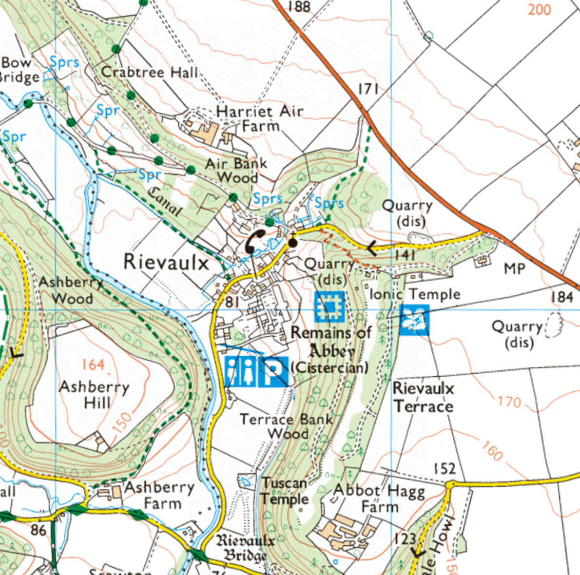
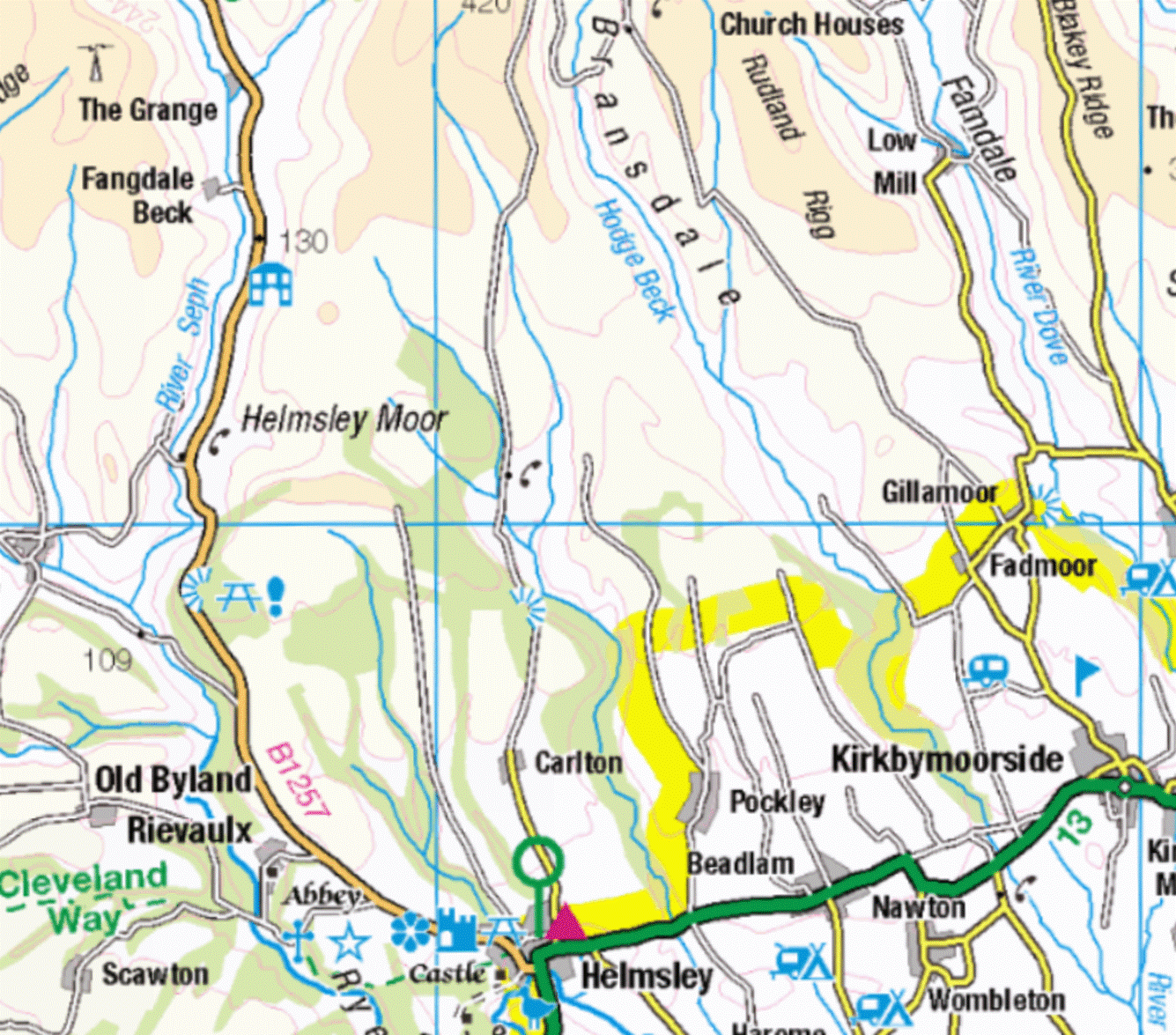
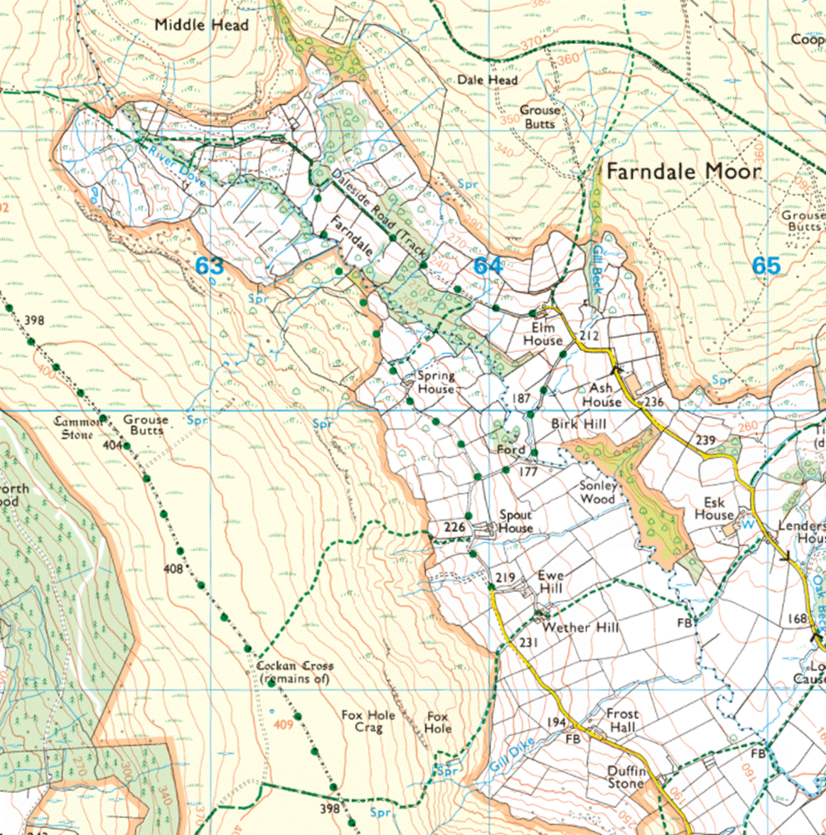
Rievaulx
Abbey
Rievaulx and its proximity to Farndale Middle Head and Duffin
Stone at the northern end of Farndale
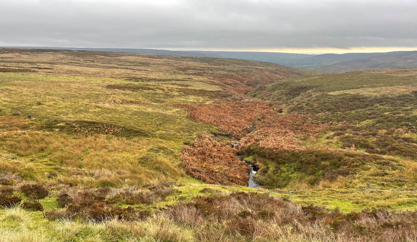
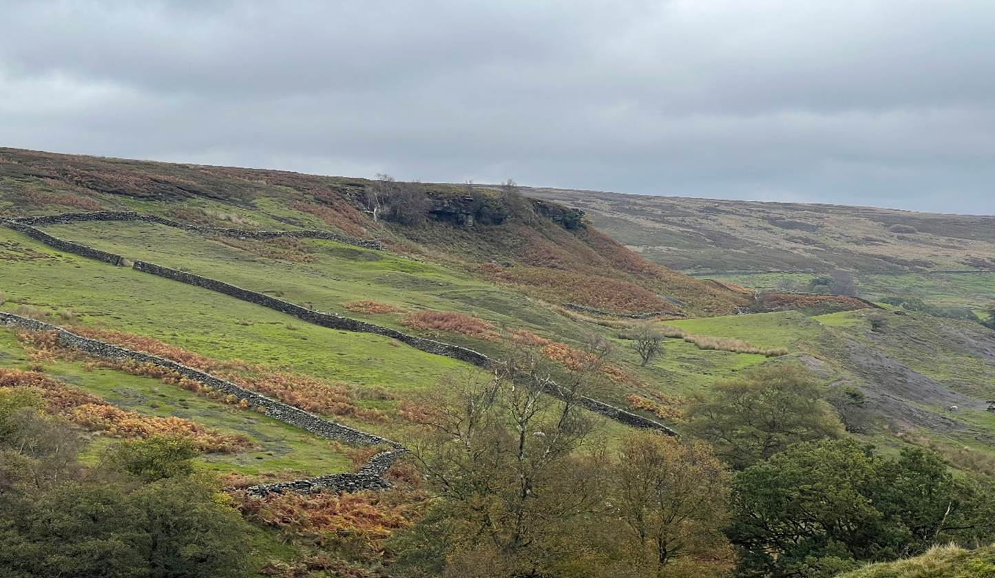
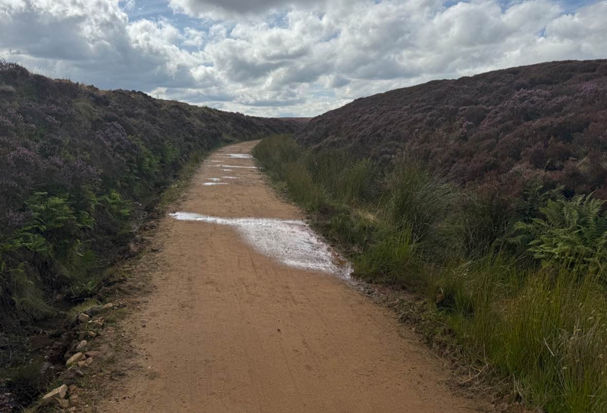
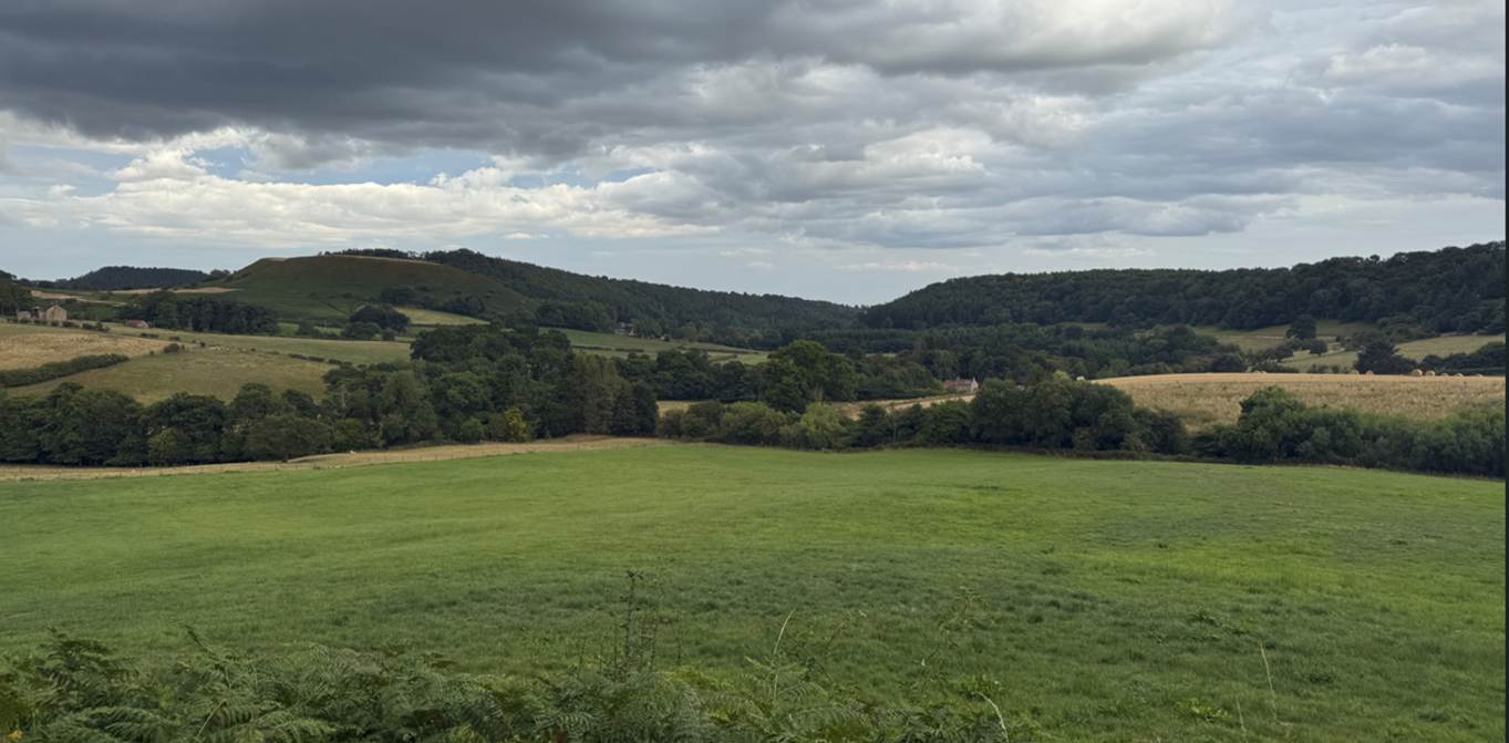
Middle Head in
2021 and 2025
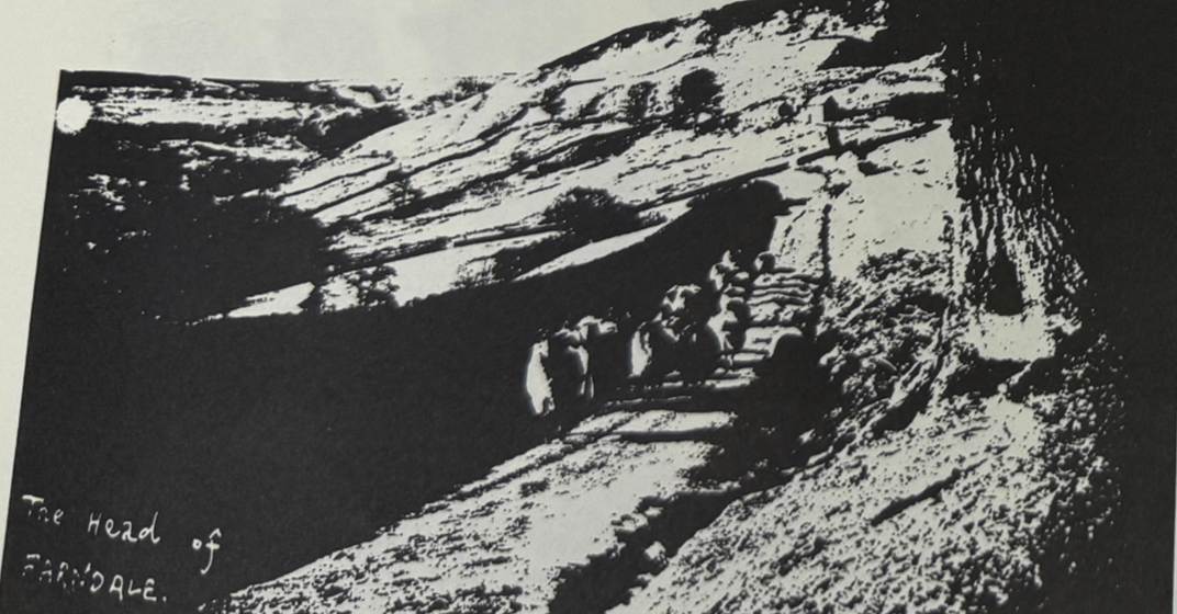
Middlehead, the head of Farndale,
1938 (Raymond Hayes, Farndale, 1961,
unpublished, page 43)
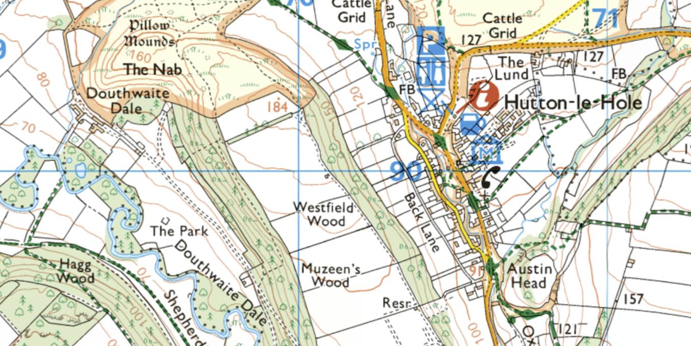
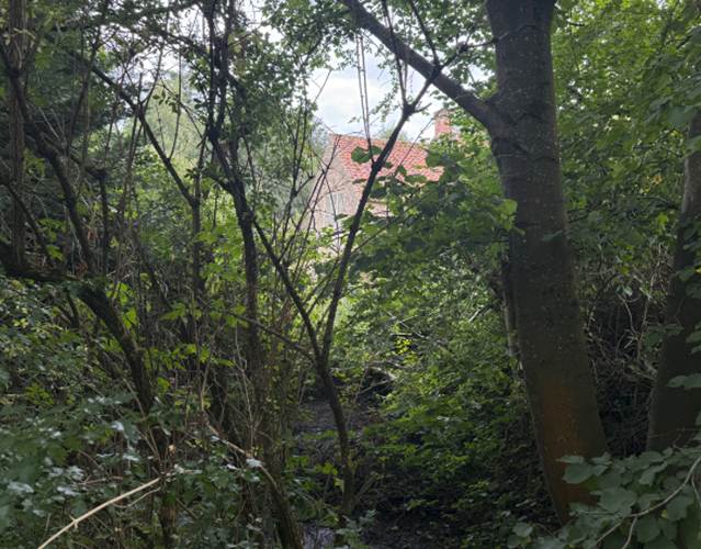
Douthwaite dale
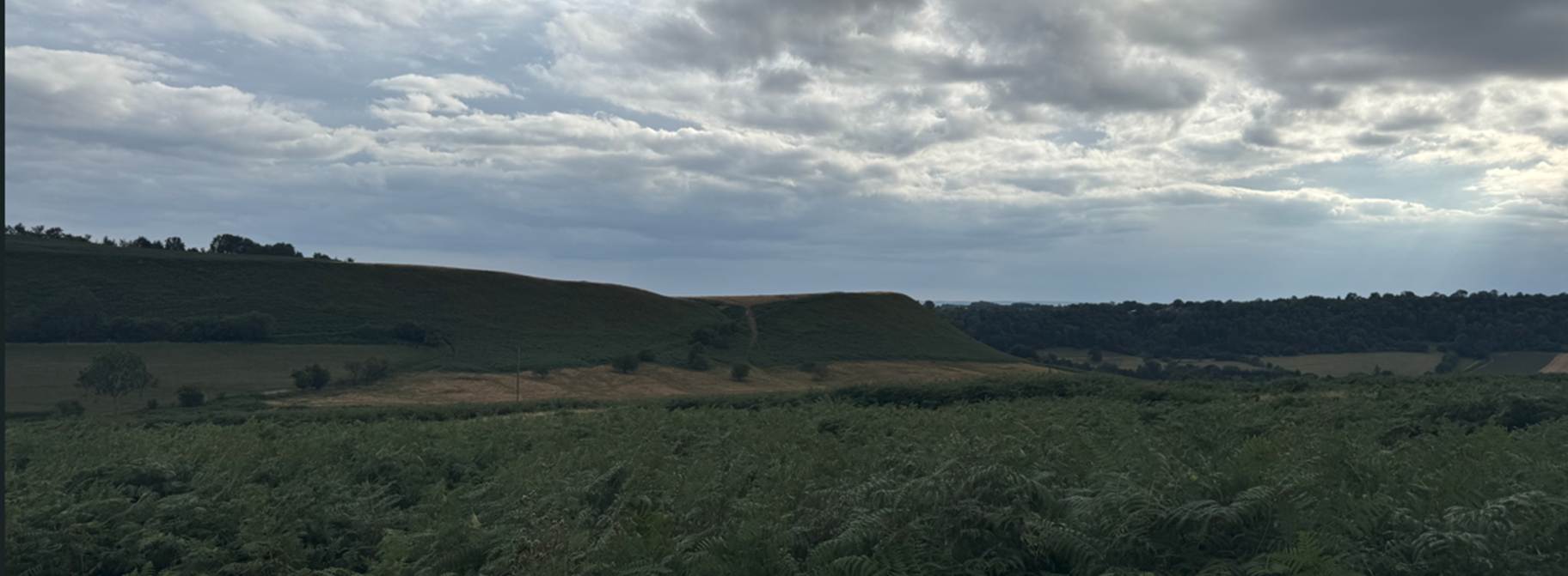
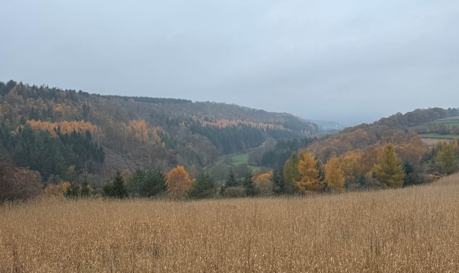
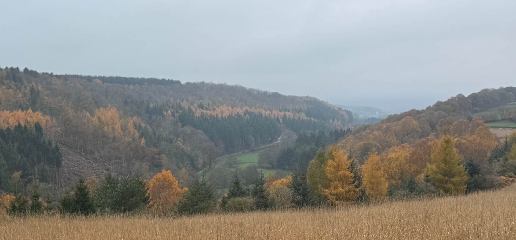
Douthwaite Dale
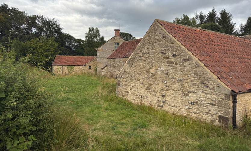
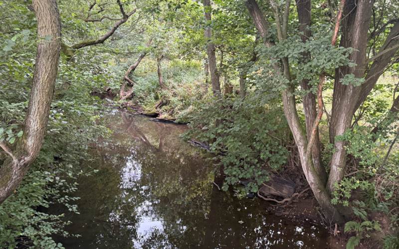
The Mill on the
River Dove between Gillamoor and Douthwaite Dale
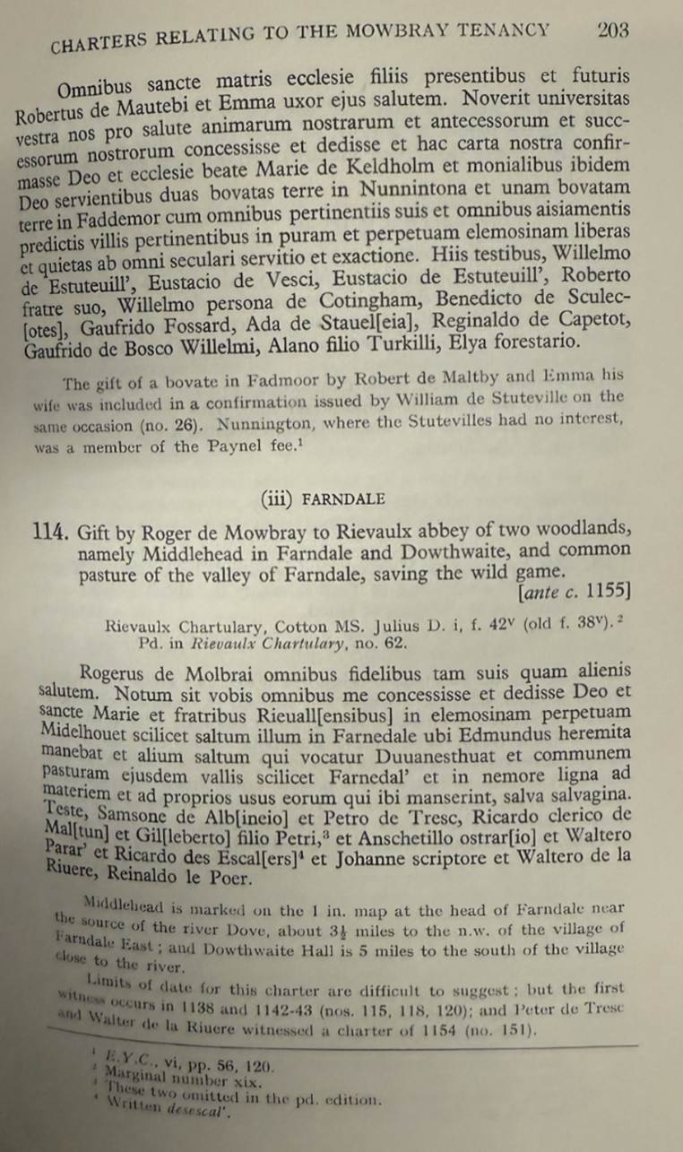
The gift was also
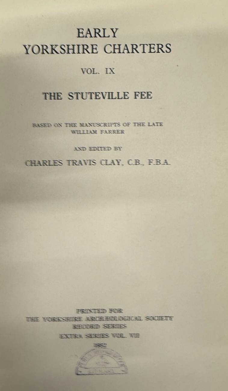
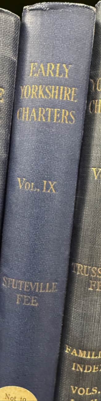
recorded in the Stuteville charters relating to the Mowbray tenancy. Gift by
Roger de Mowbray to Rievaulx abbey of two woodlands, namely Middlehead
in Farndale and Dowthwaite, and common pasture of the valley of Farndale,
saving the wild game. (Early
Yorkshire Charters, Volume IX, the Stuteville
Fee).
Farndale was part
of a significant grant of lands to Rievaulx.
The monks had a
larger area given to them at Skiplam by Gundreda
de Mowbray (1138 to 1143). This allowed for expansion since the grant
included Farndale Head and Bransdale, about 18 square miles of dale pasture
land.
It must not be
imagined that the monks were beginning colonisation in an area entirely unused. Although the extent
of settlement and cultivation was small it had existed. Griff and Stiltons, for example, were vills
before 1069 but in 1086 were waste. Presumably the monks grant here was of land
which had gone out of cultivation. Their task would be one of
reestablishment rather than the colonisation of new land. It was a
decided advantage to have such a tried starting point. At Skiplam, too,
although the greater part of the area had never been settled for or tilled,
there is evidence to show that the monks began the efforts from land already
or recently cultivated. Gundreda s
grant, for instance cover included de culta
terra ( of cultivated land ), as well as a grant ubi culta
terra deficit versus aquilonem ( where the
cultivated land declines towards the north ). Of course the subsequent work
of the monks in all these places did result in a very great extension of the
cultivated land. But it is worthwhile to point out that the Cistercians,
so-called solitaries, did in fact owe something to previous lay efforts. In
fact, it was largely the success or failure of lay farmers in a particular area
which helped the monks to see the potentialities it offered them.
. The granges
had easy access to two types of pasture - moorland and valeland.
Skiplam, for instance, had extensive pasture in the moorland dales, only a few
miles north. There was the rough pasture (saltum) of Farndale Head
and common pasture in Farndale and Bransdale. It had, too, the meadow of
the clayland at its disposal. This was even nearer,
being no more than three miles to the south. The plough teams from Skiplam
could easily pasture at Welburn, where the monks had common pasture rights, or
at Rook Barugh, Muscoates, and several other places,
just as the animals from Griff went to Newton grange for pasture. The limestone
hills had then a great deal to recommend them for the observant eyes of the
monks.
Although arable
granges would require access to pasture land this would be more important to
pastoral granges in which movement of animals, sometimes over great distances,
was an economic necessity. Most grants of common pasture to the monasteries
were made early. Rievaulx had common in Welburn (1138 to 1143); Wombleton (1145 to 1152); Farndale (pre 1155), for
example, and sometimes the privilege was purchased, eg
Arden Hesketh (pre 1159) 1 marks,
Morton (1158 to 1160) 1 mark... Some specific grants of sheep pasture were very
large... and undoubtedly induced the monasteries to set up their granges nearby.
A closer
inspection of the map suggests that some vital changes had occurred by 1301.
This comprised an extension of the settled area. Those areas colonised since
Domesday were mainly of two kinds: in the marshy vale lands and in
the moorland dales. In the latter, Bilsdale, Farndale, Bransdale and
Eskdale were mainly concerned. In the former the Vale of Pickering
especially in its central part was affected, but settlement on the limestone
dip slope to the north had also increased, eg
Skiplam, Carlton.
One outstanding
fact is evident, that the monastic share in the expansion of settlement
after 1086 was very great indeed. In Bilsdale, for example, Byland
and Rievaulx between them had settled almost the whole of the valley by 1301
while lay settlement was confined to a few vills in
the north of the valley, e.g. Raisdale, Broad
Fields, Bilsdale, and these were largely dominated by Rievaulx. In Eskdale too,
a whole series of new settlements had been established by Guisborough Priory at
Skelderskew, Wayworth,
Dibble Bridge, Glaisdale... Rosedale was entirely a monastic settlement
although the ironstone in the dale was to attract lay settlers there by the mid 14th century. Bransdale and Farndale had apparently
been colonised by laymen, although even here Rievaulx had twelfth
century pasture rights which presumably led to some form of small settlement.
At any rate, by 1282 lay settlement here was considerable. There were for
instance 90 natives in Farndale and 54 natives and bondsman in Bransdale. Along
the north east fringe of the moors at Stanghow, Scaling, Sandsend ... and in
certain spots deeper in the moors, eg Hartoft, laymen
had played a major part in the expansion of settlement.
Significant as
the monastic colonisation of uninhabited areas was it must be remembered that their
greatest contribution was the development of the already settled areas.
Their granges were often inside vills or on the
outskirts of them. In the north east, the monastic contribution to the revival
of settlement after 1069 was great. The great extent of waste presented them
with an unsurpassed economic opportunity. If so much waste had not existed it
is quite possible that the donations to the monasteries would have been less;
that the chance to secure and enlarge a foothold would have been decreased .
(Yorkshire Archaeological Journal, Vol 40, Page 636).
In 1154 those
living in the indigenous communities would have wondered in awe at the elven
halls of the Cistercians of Rievaulx Abbey, which had risen out of the soil
beside the Rye in only twenty years since the Cistercian monks had first
arrived there. Such places as Midelhovet and Duvanesthuat,
dimly known to the farming folk around Kirkdale, came into contact with a new
order of monks, so recently arrived, bringing French Cistercian traditions and
constructing towering halls, a Rivendell to the agricultural people of
the settlements on the Vales.
Since it was not
the practice of the monks willingly to forfeit any grants of land which had
been made to them, it is usual to find in any monastic chartulary recurring
references, generally in confirmation charters, to their original gift. But
this is not the case with Roger de Mowbray's grant of land in Farndale to
Rievaulx. After this one reference, the Chartulary ignores it, and none of the
many other documents consulted in connection with this essay make any reference
to the presence of the monks in Farndale. We are left to wonder whether they
did avail themselves of Roger's generosity, and whether the present Monket House
(661973) preserves
a possibly older name - 'monk(e)gate' - meaning 'the monks' way'. (Notes on the History of Farndale in the Middle Ages, Arthur H Whitaker, Ryedale Historian, Volume 1,
1965, page 8).
c 1170
There was an
undated grant by Bernard de Baliol to Rievaulx of wide pasturage on Teeside together with land and pasturage in Westerdale, on
the northern moorland slopes beyond Farndale (Cartularium Abbathiae de Rievalle
reproduced by the Surtees Society Publication Volume 83, 1889, page
158).
In the same town (of Middleton)
I gave them two oxen in full land, with a stable, and other appurtenances and
appurtenances, as I had granted them in Mideltune,
and they shall have for the shepherds of their animals one lodge of length xv
feet and of the same width. And it must be known that this logia emanates in
the upper part from Eskletes, and that the
aforesaid brother, with two servants, will attend the aforesaid house of
horses, as prescribed, without a larger family and without occasion. But if, in
these pastures, the cattle have passed their set goals, without having been
guarded, my men will turn them away without trouble.
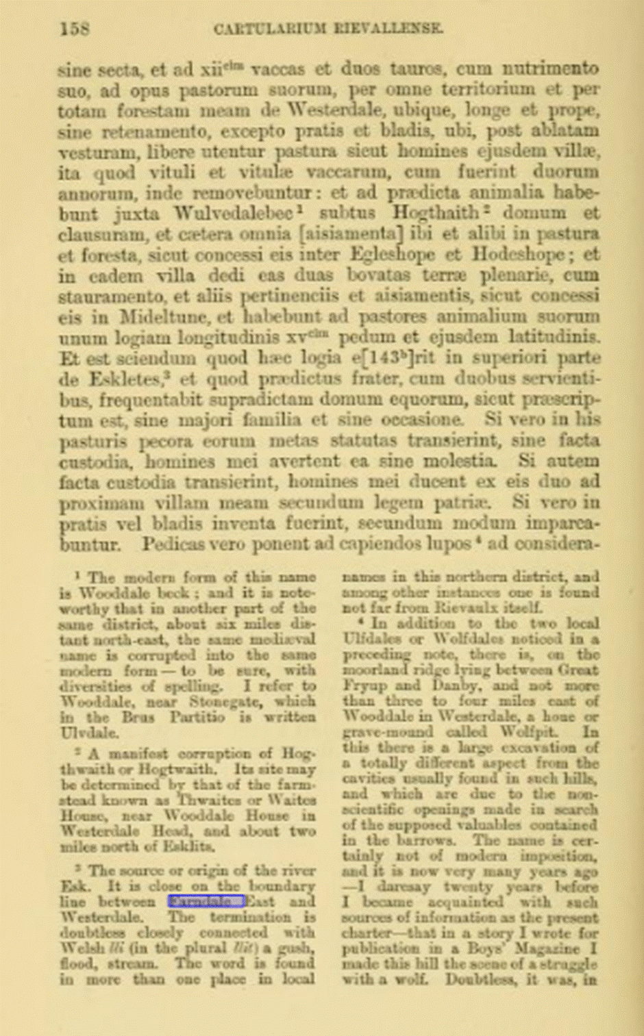
The source or
origin of the river Esk is close on the boundary line
between Farndale East and Westerdale.
Edmund the Hermit
Edmund the hermit
of Farndale was a legendary figure who lived in a cave in the North York Moors in
the Twelfth century. He was said to be a holy man who performed miracles and
healed the sick. He was also reputed to be a descendant of King Alfred the
Great and a cousin of King Stephen.
However, there is
no historical evidence to support his existence or his royal lineage. He may
have been a fictional character created by local monks to attract pilgrims and
donations to their monastery. Alternatively, he may have been based on a real
person who lived in a cave, but whose identity and story were embellished over
time. Some scholars have suggested that he may have been a Norman knight who
fled to the cave after the Battle of the Standard in 1138, or a Saxon rebel who
resisted the Norman conquest.
I have previously
read that Edmund lived in a cave at Hob Hole, located near Westerdale and to
the north of Farndale. I previously found a reference suggesting that the cave
at Hob Hole is a natural limestone cave that has been enlarged by human
activity, with two chambers, one of which may have served as a chapel, the cave
now a scheduled monument. I haven t found the original source for this comment
and can t now identify a scheduled monument in the area, so this may not be
right.
The association
of Edmund with Hob Hole is not solidly sourced and needs more work to check it
more thoroughly.
The historical
source for the hermit is restricted to the reference to Farndale in the
Rievaulx Cartulary which refers to Midelhovet (Middle Head) being the
place where Edmund the Hermit used to dwell. So we only have evidence that he
was a person who was remembered by 1154 to have roamed around Farndale.
A google search returns
this unsourced comment. The association with "Hob Hole" (also
known as "Hob in't 'Ole") is part of a
wider North Riding tradition of "hobmen" or
local spirits/goblins associated with specific caves and holes, such as at
Runswick Bay and Boggle Hole. Hob Hole itself appears on a boundary
perambulation from 1716 as "Hob in the Hole". The story of Edmund is
intertwined with this existing folklore, suggesting the cave had a legendary or
mythical significance long before (or at least concurrent with) the hermit tale.
The Hob Hole link
is a bit tenuous, but there is some legendary association with Hob Hole as well
as Farndale.
If Edmund ever
did have a cave it was most likely to have been somewhere in the craggy lower
reaches below Middle Head, probably then in deep forest.
In the Christian
tradition the eremitic life is an early form of monastic
living that preceded the monastic life in the cenobium.
The Rule of St Benedict listed hermits among four kinds
of monks. In the canon law of the Episcopal Church they are referred to as
solitaries rather than hermits. Often, both in religious and
secular literature, the term hermit is also used loosely for any
Christian living a secluded prayer focused life, and sometimes
interchangeably with anchorite or anchoress, recluse and
solitary. Religious hermits were the original residents of many of
Ryedale's most remote outposts. Edmund was first at Farndale, Osmund at
Goathland and the Saintly Godric in Eskdale.
Others chose
different routes to what they saw as religious goals. The Christian impulse has
commonly been expressed in a variety of ways and in these unsettled times, a
scatter of hermits bulk large in the record. They were the first known
residents at the remote places. Reinfrid was at
Whitby and Hackness, and is linked in tradition with
the caves at Wrench Green. Edmund was at Farndale, Osmund at Goathland, Robert d Alneto the famous hermit at Hood, Sedman at St Leonards
near Egton, the Saintly Godric in Eskdale and others at Saltburn, Densley,
Sandsend and Mulgrave (The History of Ryedale North
Yorkshire, John Rushton, 2003, page 48).
If anyone is able
to provide me with more source material about the legendary Edmund the Hermit,
please email me at rcfarndale@hotmail.com.
The Fern
The name Farndale
is generally agreed to come from the Celtic farn,
or fearn meaning fern and the
Norwegian dalr , meaning dale; and
so was the dale where the ferns grew.
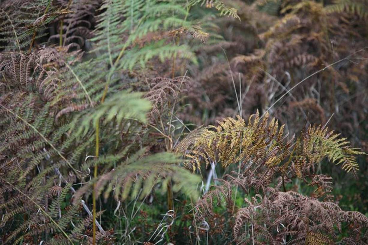
Of course whilst
Farndale is today dominated by moorland bracken and ferns, ferns are naturally
a woodland plant, so it may have been the ferns of the forested Farndale which
gave rise to its name. Perhaps it was Edmund who must have known the valley intricately,
who first chose its name.
There is an
alternative theory, to which Frank Elgee, Early Man
in North East Yorkshire, 1930, page 223 to 224 is a proponent, that
Farndale is of Gaelic origin. In Scotland farnoch
means the place of the Alders , from the Gaelic fearna,
alder. Farndale would therefore be alder dale rather than fern dale. The alder
is one of the commonest trees in Farndale. Elgee argued that the name of the
dale may have originated from the invasion of Gaelic or Goidelic speaking
people and he argues for the Gaelic origin of many local names.
Daffodils
No one know why
the daffodils became so prolific in Farndale. They are found in the district
only sparingly and mainly in a wild state, chiefly in lower Rosedale. They are
very few, if any, in Bransdale and Baysdale, both
even more isolated than Farndale. One theory is that the daffodils were planted
by the monks. If so, one would expect them to be plentiful in the vicinity of
Rievaulx Abbey, but that is not so, nor are they found in numbers near Baysdale Priory where it might be expected that the nuns
would have tended them. Conditions for growth are just as favourable in all the
neighbouring dales. (Raymond Hayes, Farndale, 1961, unpublished, page
24).
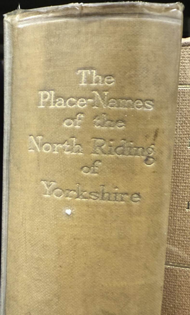
Index of early references
to Farndale in the twelfth and thirteenth century and its various spellings
In the medieval period Farndale was sometimes spelt in various
alternatives, the most common of which are summarised in the Place
Names of the North Riding of Yorkshire:
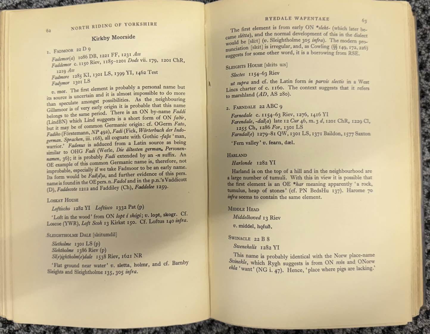
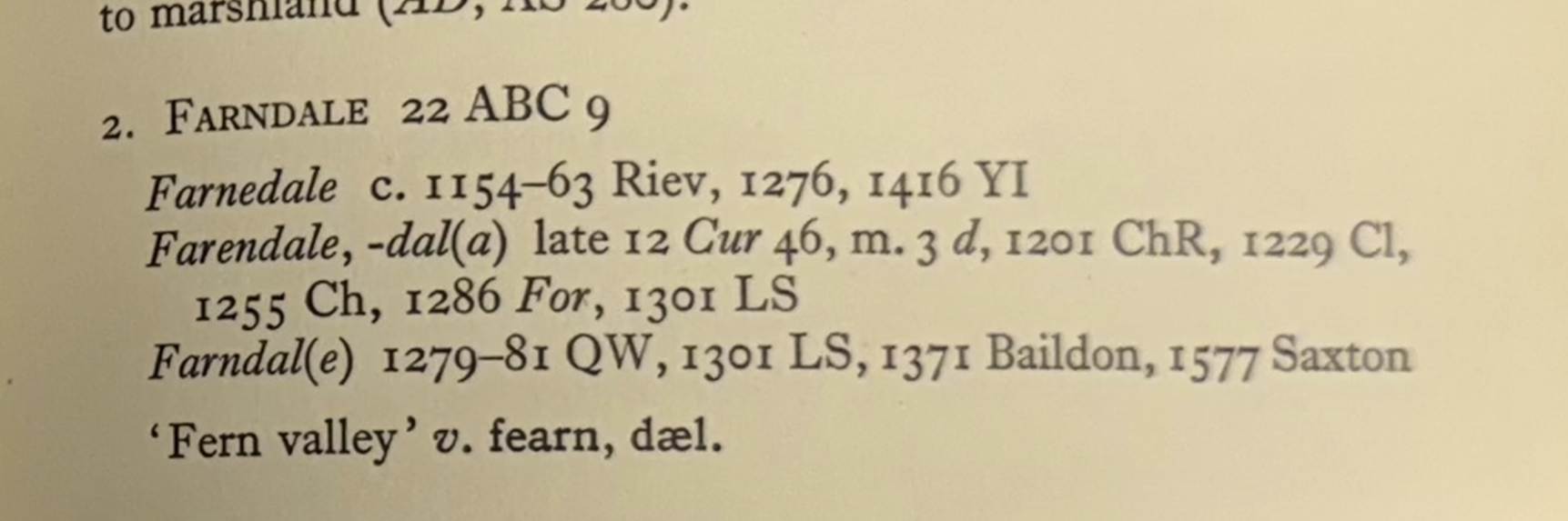
Riev - Rievaulx Cartulary
(Surtees Society Publications 83, MS 16th cent.)
YI - Yorkshire
Inquisitions (YAS 12, 23, 31, 37, 59)
Cur Curia Regis Rolls
ChR Rotuli
Chartarum, 1837
Cl Calendar of Close Rolls
Ch Calendar of Charter Rolls
For Forest Proceedings (unpublished?)
LS Yorkshire Subsidy 1301
QW - Placita
de quo Warranto, 1818.
Baildon - William Paley Baildon, Monastic Notes (YAS 17)
Saxton Christopher Saxton s Map of Yorkshire, 1577
Bibliography
Rievaulx
Abbey,
Peter Ferguson and Stuart Harrison, 1934.
Print
of Rievaulx Abbey by John Sell
Cotman (1782 to 1842).
Rievaulx
Abbey, Sir
Charles Reed Peers, 1975.
The Cartulary
of Rievaulx Abbey, Cartularium Abbathiae
de Rievalle reproduced by the Surtees Society Publication Volume 83, 1889, including page
30
The Greater
Abbeys of England, Francis Aidan Gasquet, 1908, page 221.
Aelred of
Rievaulx, Mirror
of Charity.
Notes on the
History of Farndale in the Middle Ages, Arthur H Whitaker, Ryedale Historian, Volume
1, 1965, page 8)
Raymond Hayes, Farndale,
1961, unpublished, page 7.
The Monastic
Grange of North east Yorkshire, Yorkshire
Archaeological Journal, Volume 40, page 636.
Early Yorkshire
Charters, Volume IX, the Stuteville Fee.
Monasteries and
Parishes in Medieval Yorkshire, Janet Burton FSA FR Hist S, Professor of History,
University of Wales, 2010 Kirkdale Lecture.